
Gradually warmer; pre-April showers this week
Highs near 50 Tuesday and Wednesday; models still hint at 60s next week.
Go Deeper.
Create an account or log in to save stories.
Like this?
Thanks for liking this story! We have added it to a list of your favorite stories.


Spring in Minnesota is like a dance. Two steps forward, one step back.
Our stealthy overnight snowfall draped a fleeting coating of white on the ground Monday morning from the Twin Cities into Wisconsin.
The thing about overnight snow in March? It usually vanishes by noon.
Highs near 50
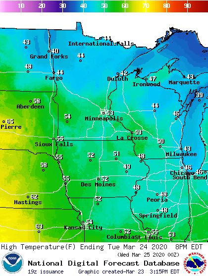
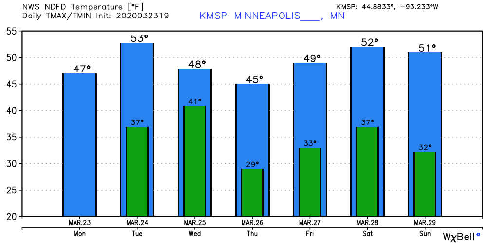
The sun is breaking out at the Weather lab Monday afternoon. We enjoy mixed sunshine Tuesday. Milder air seeping in will push highs to around 50 the next two days in southern Minnesota. Highs make the 40s up north.
Turn Up Your Support
MPR News helps you turn down the noise and build shared understanding. Turn up your support for this public resource and keep trusted journalism accessible to all.
We cool a touch late this week. The weekend looks milder, and right now Sunday looks like your sunnier, better day of the weekend.
Pre-April showers
A few showers favor central and northern Minnesota Tuesday afternoon. A more organized system arrives Wednesday. Expect widespread rain across the Twin Cities and southern Minnesota. Precipitation may transition to snow north of the Twin Cities Wednesday.
Here’s the Canadian model.
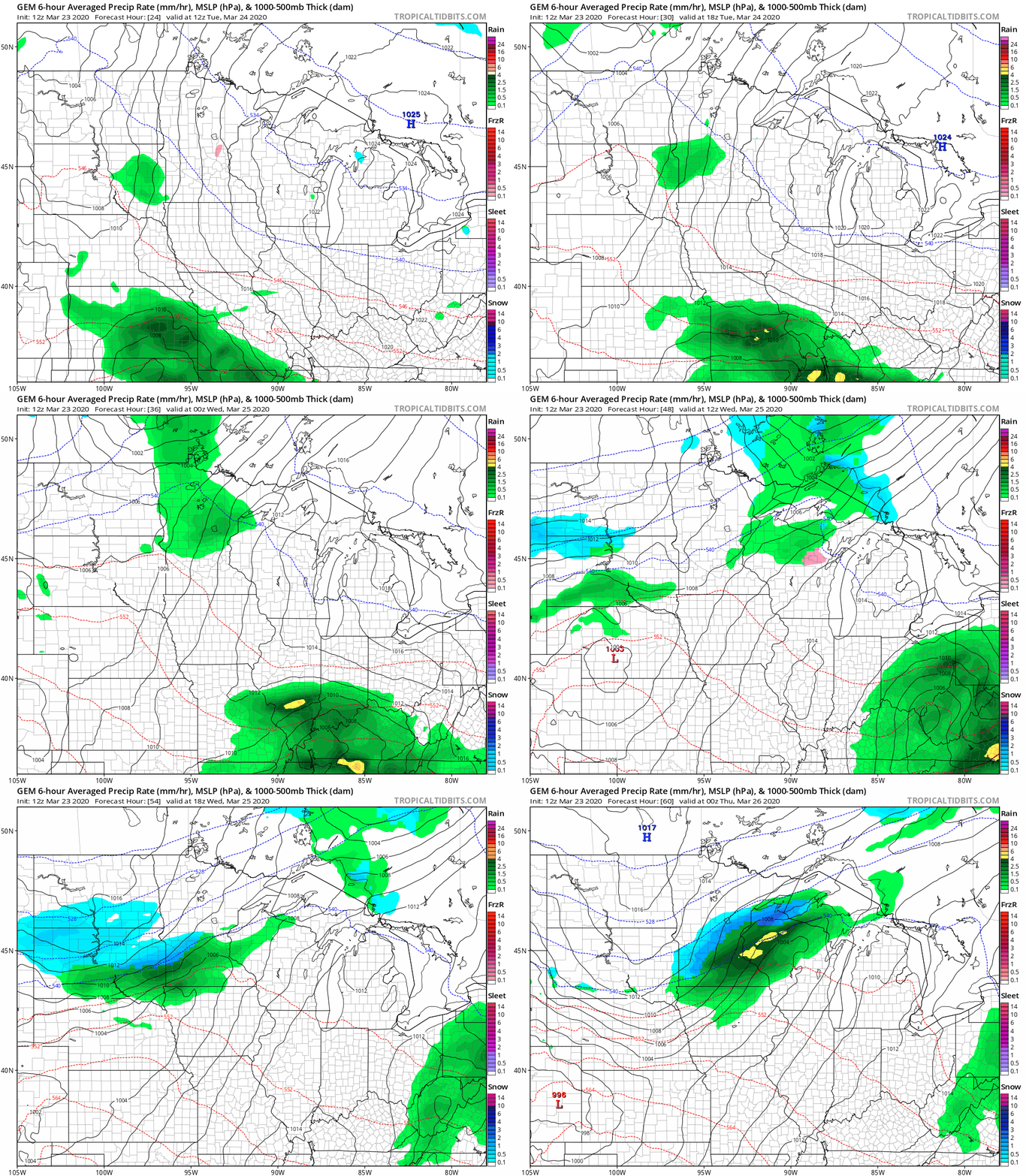
A few models suggest a storm passing south of Minnesota Friday into Saturday. Let’s see how they handle the track in the next couple of days.
Stay tuned.

