
Showers fade Thursday; 80s ahead next week
A significant warming trend kicks in starting Thursday

Go Deeper.
Create an account or log in to save stories.
Like this?
Thanks for liking this story! We have added it to a list of your favorite stories.


Our cool spring weather pattern is about to change — for the warmer.
Wednesday’s showers were spotty across Minnesota. We could have used more widespread rain. But the system represents the leading edge of a trend toward much warmer air masses in the coming week across Minnesota.
Springy through the weekend
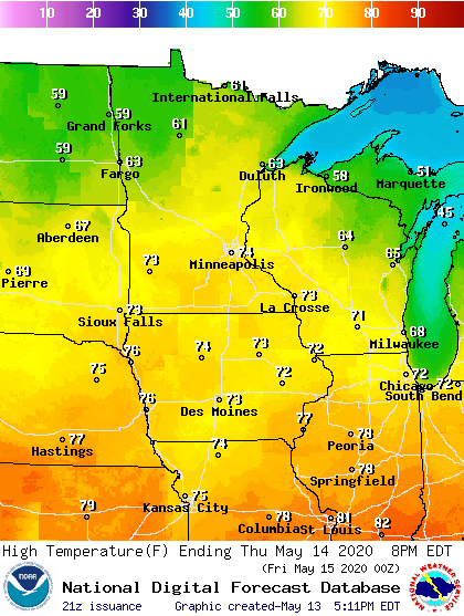
Our weather feels much more springy through this weekend. Highs soar into the 70s in much of Minnesota the next few days.
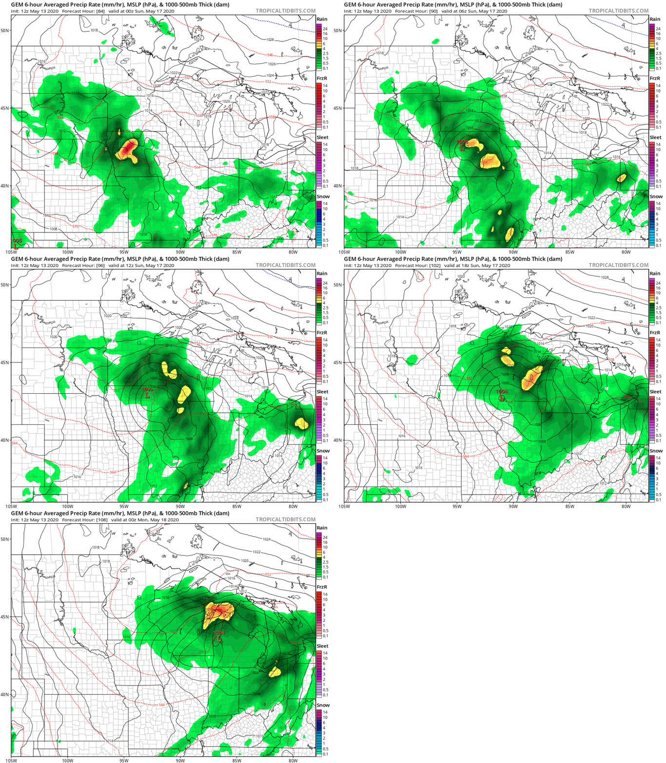
Rain chances Saturday night
Our next significant chance for much-needed rainfall arrives late Saturday into Sunday. The best chance for widespread showers and T-Storms across Minnesota favors Saturday night. The Canadian model is typical of solutions that track a low-pressure center through Iowa this weekend.
Turn Up Your Support
MPR News helps you turn down the noise and build shared understanding. Turn up your support for this public resource and keep trusted journalism accessible to all.
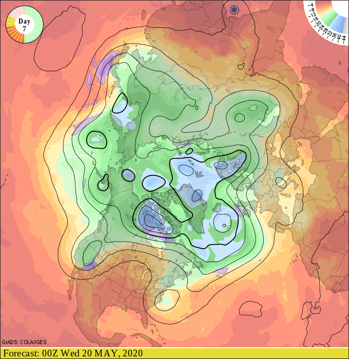
Upper air pattern shift
Large-scale temperatures forecast a week out are all about the upper air patterns. Upper air forecast charts for next week still develop a high-amplitude ridge across the central U.S.
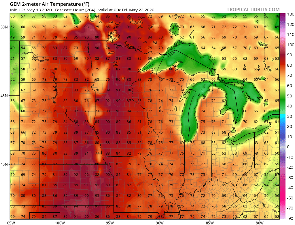
This pattern brings unseasonably warm air masses into Minnesota.
So, how warm (and humid) will it get next week? The forecast models have eased the initial warm surge Monday and Tuesday with highs generally in the 70s across Minnesota. But models still bring the thermal ridge (axis of hottest temperatures) into Minnesota Wednesday and Thursday. That should be good enough this time of year to push temperatures well into the 80s, to near 90 degrees.
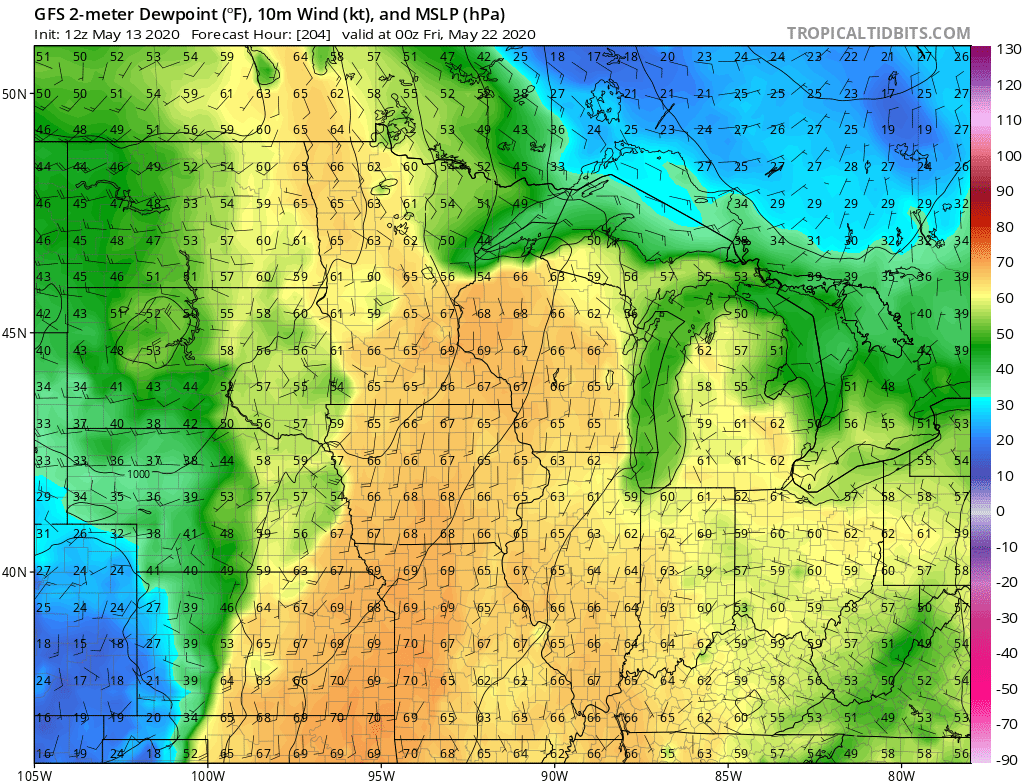
Dew points in the sticky 60s to near a tropical 70 degrees still look likely next week.
Now, where did I put those shorts last fall?

