
Spectacular now; Memorial Day the sunniest day of the weekend
A few hours of showers Saturday and Sunday, but not a washout.

Go Deeper.
Create an account or log in to save stories.
Like this?
Thanks for liking this story! We have added it to a list of your favorite stories.


It’s a bright blue classic May sky across eastern Minnesota today.
Drier air has eroded the cloud deck across the eastern half of our state. You can see the clouds that linger in western Minnesota Wednesday afternoon on the GOES-16 visible satellite loop.

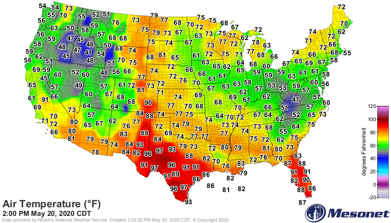
Temperatures across Minnesota reflect the sun east, clouds west pattern. It’s well into the 70s in the east, while temperatures hover in the 60s west.
Mostly 70s
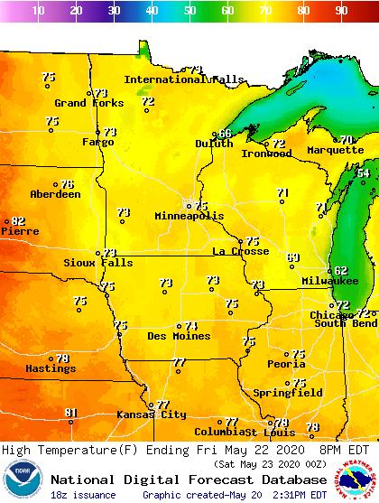
Highs in the 70s will be most common across Minnesota through the Memorial Day weekend. Friday’s temperature pattern looks fairly typical for the next few days.
Spotty weekend showers
Model trends suggest a trend toward spotty showers this weekend. A front approaching Friday brings more focused showers to the western half of Minnesota, but the system shows signs of diminishing in coverage as it moves east Saturday.

Overall a few hours of showers look likely for Memorial Day weekend. I don’t think we’re looking at any all-day washouts this weekend. The highest rain chances fall on Saturday and Sunday.
Stay tuned as forecast models try and pinpoint timing on a relatively weak weekend system.
Turn Up Your Support
MPR News helps you turn down the noise and build shared understanding. Turn up your support for this public resource and keep trusted journalism accessible to all.

