Mostly sticky, partly stormy forecast

Tropical dew points push 70 degrees again this weekend
Heat wave
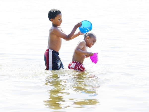
Noah Webster (left) and Marquis Cates Jr. cool off in Bde Maka Ska in Minneapolis on July 18, 2011.
Nikki Tundel | MPR News 2011

Get ready for another summery weekend Minnesota.

It’s hard to believe we’re counting down to the Labor Day weekend already. But there are just three precious summer weekends left after this one before the Labor Day holiday weekend.

This weekend brings a classic mix of summer warmth and humidity. Highs from Friday through Sunday push into the 80s across most of Minnesota. Highs could reach 90 degrees in the southern parts of Minnesota this weekend.

Forecast high temperatures Sunday
NOAA

Scattered thunder

The air mass is warm and moist enough to produce a few waves of thunderstorms this weekend.

NOAA’s NAM 3 km resolution model suggests a few spotty thundershowers overnight into Friday morning. This model has also been consistent with developing a wave of storms in west-central Minnesota Friday evening that pushes toward the Twin Cities area around 10 p.m. Friday.

NOAA NAM 3 km model 7 am to 10 pm Friday
NOAA NAM 3 km model 7 a.m. to 10 p.m. Friday.
NOAA via tropical tidbits

Severe risk

The risk for severe storms Friday favors the Red River Valley and northwest Minnesota. There is a marginal risk across the Twin Cities area Friday.

Severe weather risk areas
Severe weather risk areas Friday
Twin Cities National Weather Service

Stay situationally aware of possible severe weather watches and warnings through the weekend.

Create a More Connected Minnesota

MPR News is your trusted resource for the news you need. With your support, MPR News brings accessible, courageous journalism and authentic conversation to everyone - free of paywalls and barriers. Your gift makes a difference.