MPR weather live blog: Tracking strong to severe storms overnight

Downpours, high winds, hail all possible.

Lightning in the sky.
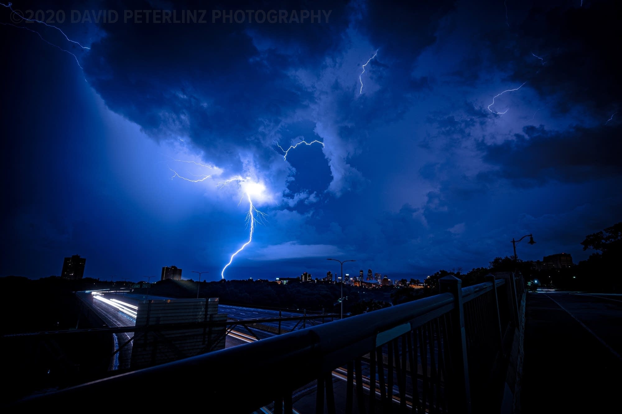
Lightning in the sky, looking west over the Dartmouth Bridge near the University of Minnesota in Minneapolis, Aug. 10, 2020.
Dave Peterlinz | KARE 11

The tropical atmosphere over Minnesota is favorable for brewing and sustaining some big storms through Friday.

The first wave moves from northwest Minnesota Thursday evening, through the central Minnesota lakes area. Storms may begin to lose some intensity overnight, but could hold together long enough to blow into the Twin Cities and southern Minnesota around or after midnight Friday morning.

NOAA’s NAM 3 km resolution model has been persistent in driving a possible severe bow echo through much of northern and central Minnesota, then toward the Twin Cities around or after midnight Friday morning.

NOAA NAM 3 km model forecast from 5 pm Thursday to 3 am Friday
NOAA via tropical tidbits

Here are some resources to track storms overnight.

Stay safe and keep an eye on the northwest sky tonight!

Create a More Connected Minnesota

MPR News is your trusted resource for the news you need. With your support, MPR News brings accessible, courageous journalism and authentic conversation to everyone - free of paywalls and barriers. Your gift makes a difference.