
Tropical air mass fuels scattered thunderstorms through Saturday
Local downpours from our humid air mass
Go Deeper.
Create an account or log in to save stories.
Like this?
Thanks for liking this story! We have added it to a list of your favorite stories.


It sure feels like August out there.
A pool of 70-degree dew points is oozing across Minnesota and the Upper Midwest.

As of this post, a weak wave is triggering a few scattered storms Friday evening that could move across southern Minnesota Friday night. NOAA’s NAM 3 km resolution model suggests there could be a few scattered thunderstorms near the Twin Cities between about 10 p.m. and midnight Friday into early Saturday morning.
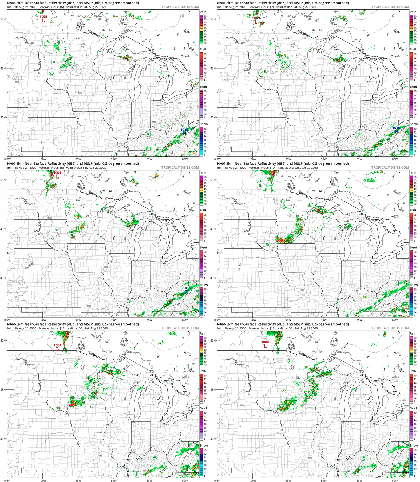
Low severe risk
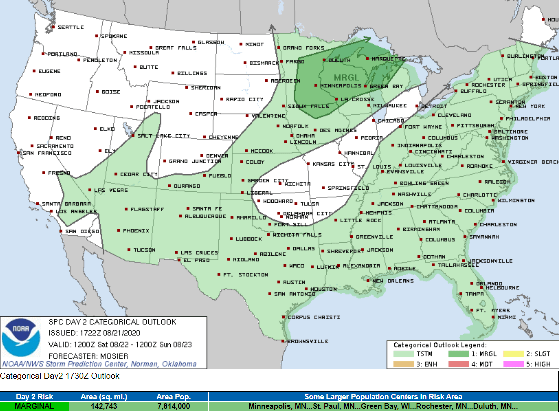
Scattered thunderstorms may redevelop again Saturday afternoon and evening in the warm humid air mass. NOAA’s Storm Prediction Center paints a marginal (low) risk that a couple of storms could reach severe limits Saturday.
Summer continues
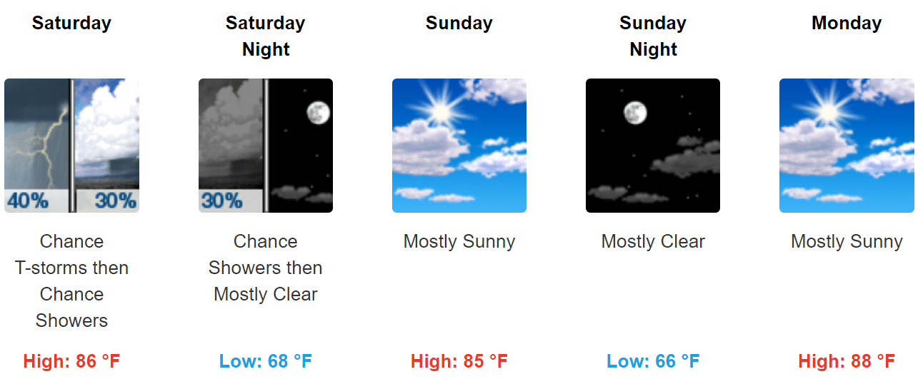
The weather maps suggest summery weather continues into early next week.
There are signs of a potentially stronger cold front late next week.
Stay tuned.
Turn Up Your Support
MPR News helps you turn down the noise and build shared understanding. Turn up your support for this public resource and keep trusted journalism accessible to all.

