
Warming trend starts Sunday; luxurious weather next week
Warmer weather lingers through mid to late September?

Go Deeper.
Create an account or log in to save stories.
Like this?
Thanks for liking this story! We have added it to a list of your favorite stories.


September sent Minnesota a direct message this week. The weather DM reads something like:
“Meteorological summer is over, and you live in Minnesota.”
Minnesota’s cool wet weather pattern lingers through Saturday. Temperatures Friday afternoon hovered in the coolish 50s in southern Minnesota under a gray September sky.
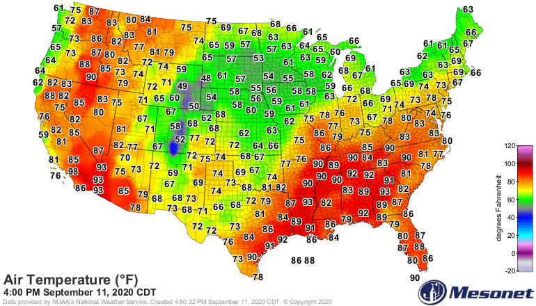
Warmer pattern ahead
The weather pattern across North America changes next week. The jet stream lifts northward across Canada. Milder breezes blow into the Upper Midwest.
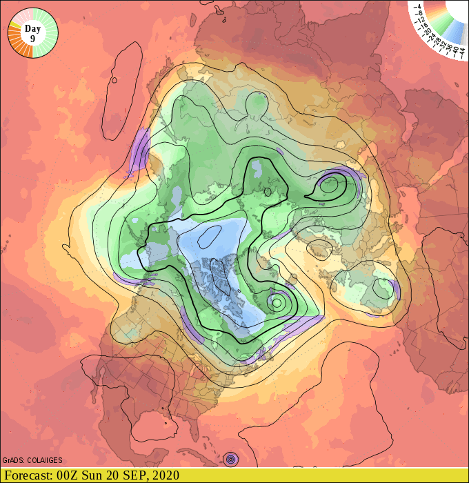
High temperatures next week reach the balmy 70s across most of Minnesota. Highs in the 80s favor western Minnesota but may ooze as far east as Brainerd and the Twin Cities by mid-week.
Turn Up Your Support
MPR News helps you turn down the noise and build shared understanding. Turn up your support for this public resource and keep trusted journalism accessible to all.
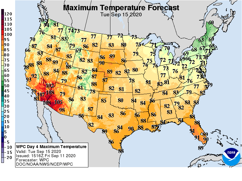
Mild bias into late September?
The National Oceanic and Atmospheric Administration’s GFS model favors milder than average temperatures in late September. Keep in mind we don’t really place high in trust this and other models this far out for specific, day to day temperature accuracy. But they do usually latch on to trends.
I don’t take the string of 70s and 80s depicted below as gospel. But the trend for milder than average temperatures after about September 20 is worth paying attention to.
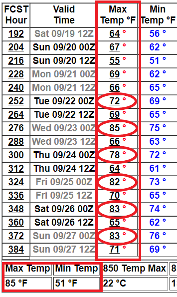
A temperature range between 51 and 85 in the Twin Cities between September 19 and 25? That would be notable, and welcome for many if it’s even close.
Mild into early October?
NOAA’s week 3-4 temperature outlook also slightly favors warmer than average temperatures as we turn the corner into…O…Oc…October. There. I said it.
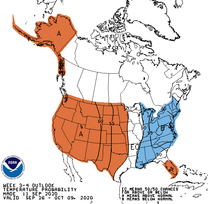
Summerlike weather may stick around a while this September.
Stay tuned.

