
Cooler breezes Wednesday; 70s and 80s likely again next week
Wednesday's cool front brings gusty northwest winds.
Go Deeper.
Create an account or log in to save stories.
Like this?
Thanks for liking this story! We have added it to a list of your favorite stories.


What goes up must come down. Especially with Minnesota weather.

A cool front sweeps across Minnesota Wednesday. Our next Octobery interlude lasts through Friday. Temperatures moderate this weekend, and the weather maps suggest more 70s and even some 80s next week.
We're not done with summerlike temperatures just yet.
Wednesday cold front
Turn Up Your Support
MPR News helps you turn down the noise and build shared understanding. Turn up your support for this public resource and keep trusted journalism accessible to all.
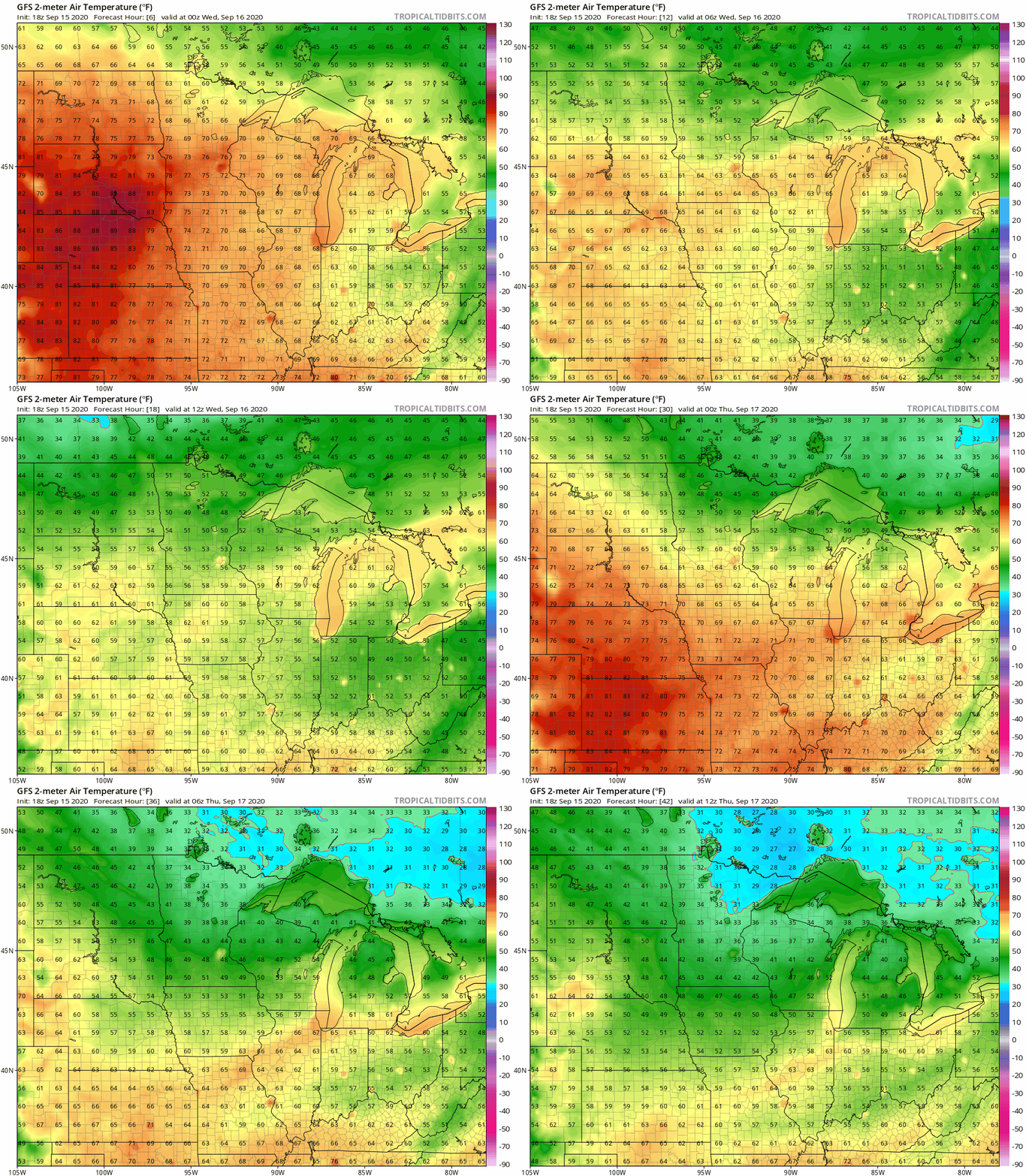
A cold front drives cooler weather south through Minnesota Wednesday. This 36-hour GFS model temperature loop shows the temperature tumble into Thursday morning. Freezing temperatures once again arrive in northern Minnesota Thursday and Friday mornings.
Milder weekend
The next several days look dry across most of Minnesota. Highs return to the 60s and 70s across Minnesota this weekend.

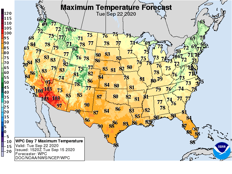
Next week looks even warmer with highs well into the 70s, and possibly 80s.
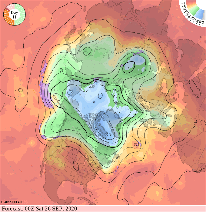
The upper air maps for late September suggest a warm dome of high-pressure building across the Upper Midwest.
NOAA’s Climate Prediction Center outlooks favor warmer than average temperatures through most of late September.

Summery weather seems destined to hang around well into late September this year.

