
Taste of late summer; 80s return Friday
October reality check arrives next week

Go Deeper.
Create an account or log in to save stories.
Like this?
Thanks for liking this story! We have added it to a list of your favorite stories.


We’re getting a bonus second summer in Minnesota this year.
Temperatures continue to run warmer than average across most of Minnesota through this upcoming weekend.
Highs pushed into the 80s across southern and western Minnesota Tuesday. A weak cool front overnight dropped temperatures about 10 degrees across Minnesota Wednesday.
But temperatures are still running several degrees above average. Temperatures in the 70s reach as far north as the Twin Cities Wednesday afternoon. And that bubble of 80s lurks not far to the south of Minnesota.
Turn Up Your Support
MPR News helps you turn down the noise and build shared understanding. Turn up your support for this public resource and keep trusted journalism accessible to all.
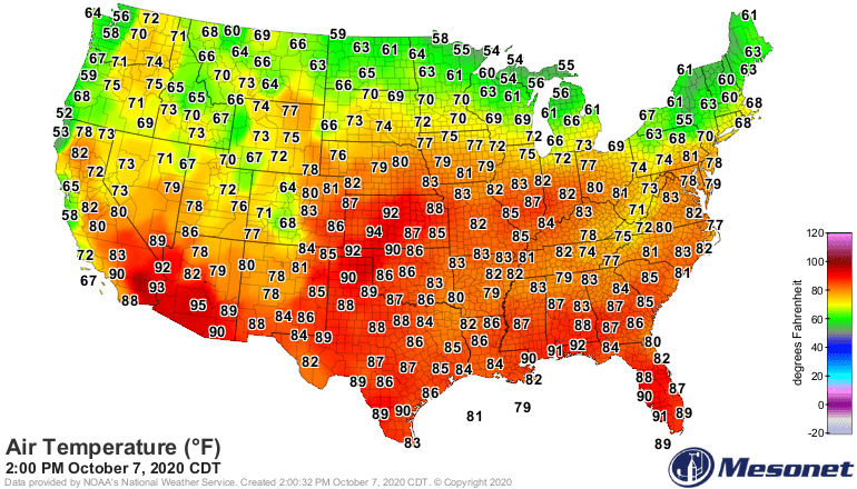
80s again Friday
Our next October warm front kicks through Thursday night. By Friday afternoon, temperatures soar into the 80s once again across southern Minnesota, with 70s up north.
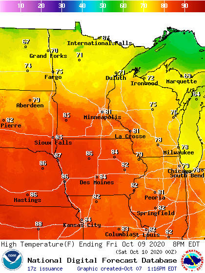
The average highs and low for the Twin Cities on Friday are 61 and 42. So temperatures will run about 20 degrees warmer than average Friday.
We cool a bit this weekend, but temperatures in the 70s south and 60s north are still above average in most locations.

Colder next week
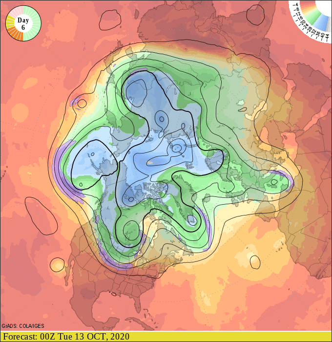
The upper air pattern over Minnesota more closely resembles October next week. A dip in the jet stream pumps colder Canadian air, and a few showers south starting Monday.
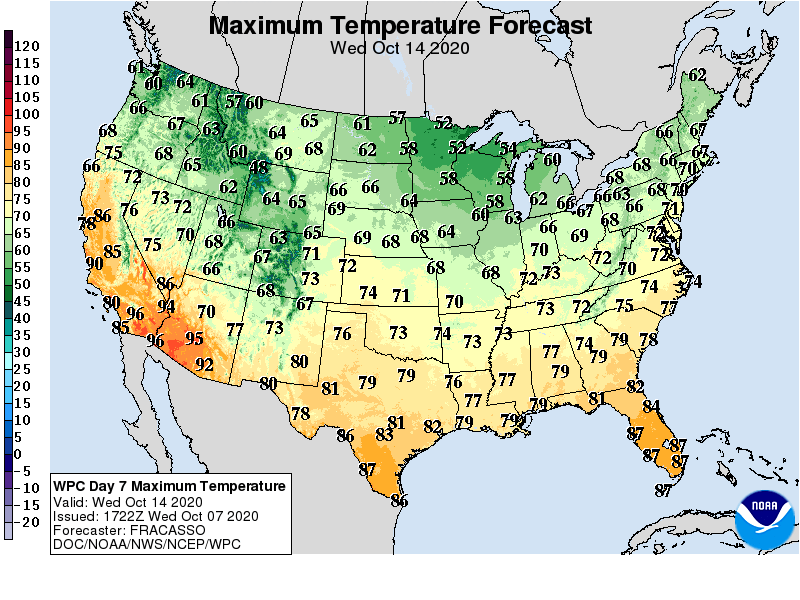
Highs will not climb out of the 50s across most of Minnesota by next Wednesday.
There are signs of more 60s, and potentially 70s in about two weeks.
Stay tuned.

