Snow accumulations in southeast Minnesota, icy spots up north

Wintry mess in parts of Minnesota today. Drizzle in the Twin Cities.

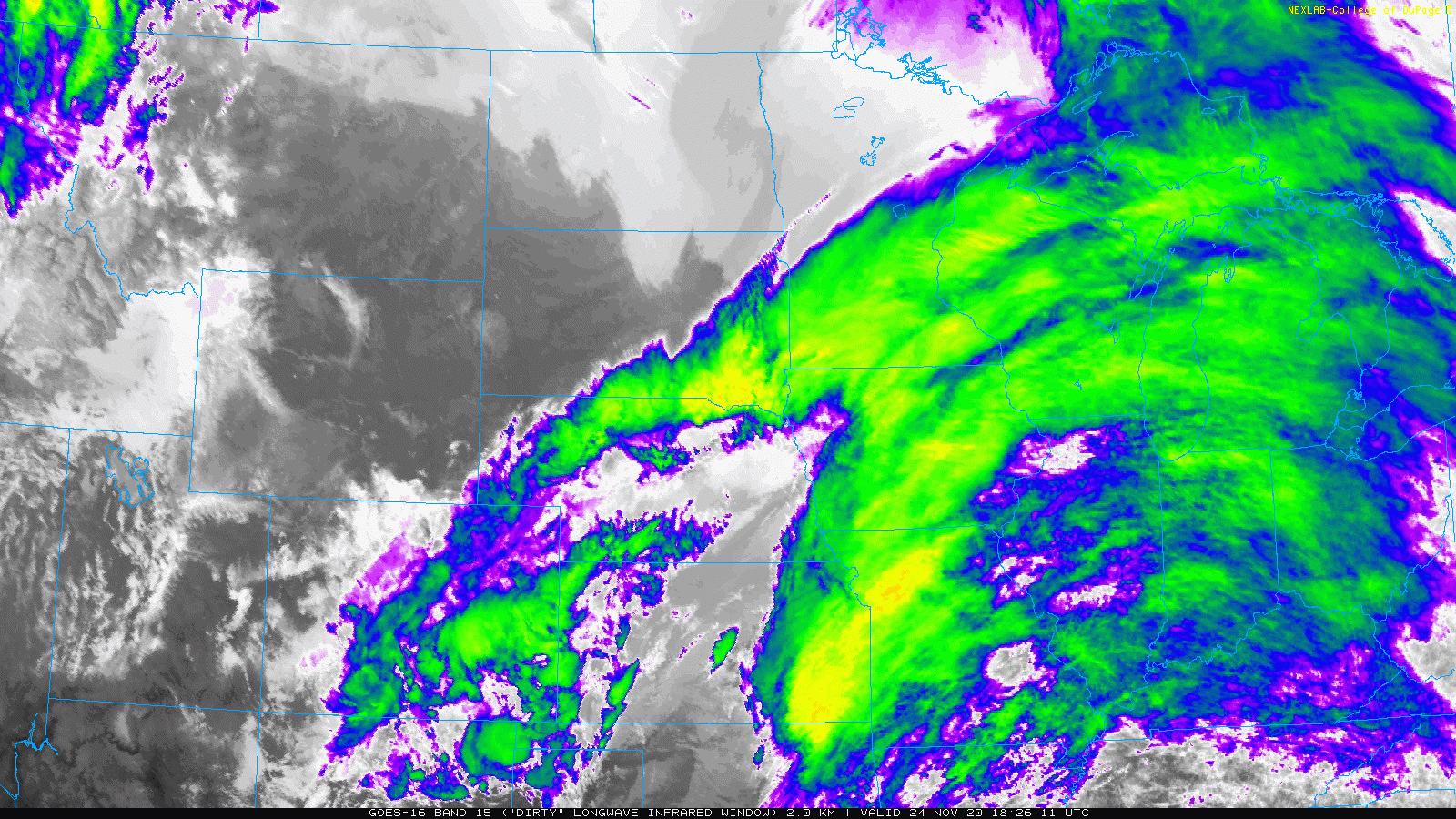
GOES 16 satellite loop Tuesday
NOAA/College of Dupage

Our hybrid fall-wintry weather system is delivering a mix of drizzle, snow, and ice to different parts of Minnesota Tuesday. Winter weather advisories continue for both northeast and southeast Minnesota.

NOAA’s GOES-16 infrared satellite loop (above) shows the system pushing through the Midwest Tuesday afternoon.

NOAA’s NAM 3 km resolution model shows the system dragging its wintry mix eastward as we move through Tuesday night.

NOAA NAM 3 km model
NOAA NAM 3 km model from 2 pm Tuesday to midnight Wednesday
NOAA via tropical tidbits

Snow in southeast Minnesota and Wisconsin

Create a More Connected Minnesota

MPR News is your trusted resource for the news you need. With your support, MPR News brings accessible, courageous journalism and authentic conversation to everyone - free of paywalls and barriers. Your gift makes a difference.

Several locations across southeast Minnesota have recorded 2 to more the 3 inches of snow.

Snowfall totals
Snowfall totals in southeast Minnesota Tuesday.
NWS La Crosse, WI

Travel is hazardous along the I-90 corridor in southeast Minnesota and western Wisconsin.

Winter weather conditions
NWS La Crosse, WI

Icy up north

Northeast Minnesota is seeing a mix of ice and snow.

Ice and snow up north
NWS Duluth

The Twin Cities and much of the rest of Minnesota is picking up mainly drizzle with temperatures above the freezing mark.

Temperatures Tuesday afternoon
Oklahoma Mesonet

Weather conditions will improve Wednesday and through most of the Thanksgiving holiday weekend.