
Short-term forecast: Pushing 40 Friday, Sunday and Monday
Light snow favors northern Minnesota Friday
Go Deeper.
Create an account or log in to save stories.
Like this?
Thanks for liking this story! We have added it to a list of your favorite stories.


Our docile December continues until Monday.
Milder air begins to push northward into Minnesota once again through Friday. Highs Thursday ease into the 30s across southern Minnesota.
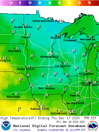
Note the milder air mass to the south where highs will be in the 40s.
By Friday, that milder air drifts northward into Minnesota. Temperatures will push 40 degrees across southern Minnesota Friday afternoon.
Turn Up Your Support
MPR News helps you turn down the noise and build shared understanding. Turn up your support for this public resource and keep trusted journalism accessible to all.

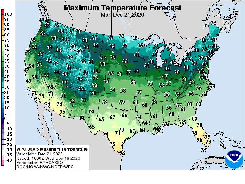
Saturday brings a speed bump with cooler temperatures and highs in the 20s and 30s. But breezes turn south again Sunday. Highs will push toward the low 40s again in southern Minnesota Sunday and Monday.
Friday snow chance
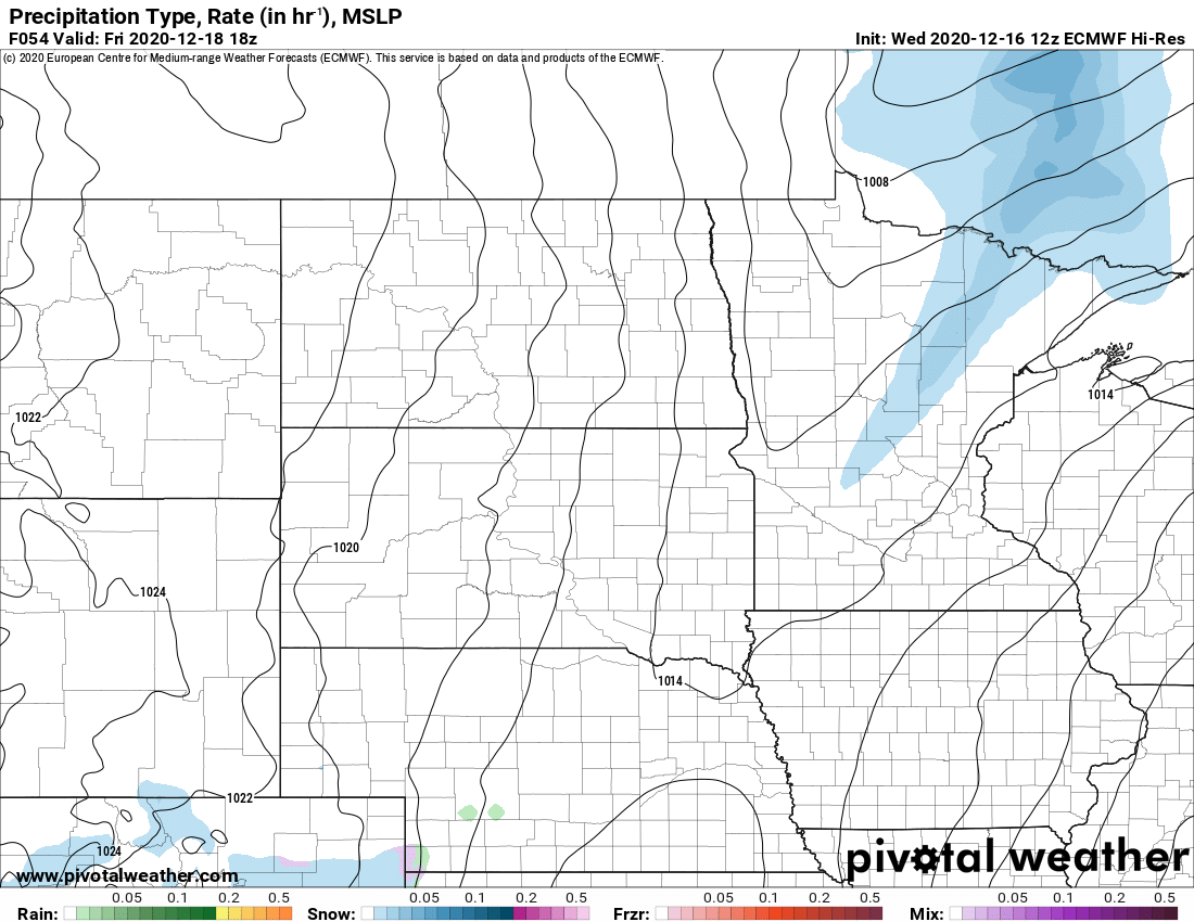
A weather system crossing Minnesota Friday brings a chance of light snow to northern and central Minnesota.
The European model paints a narrow band of mostly light snow passing across northern Minnesota Friday.
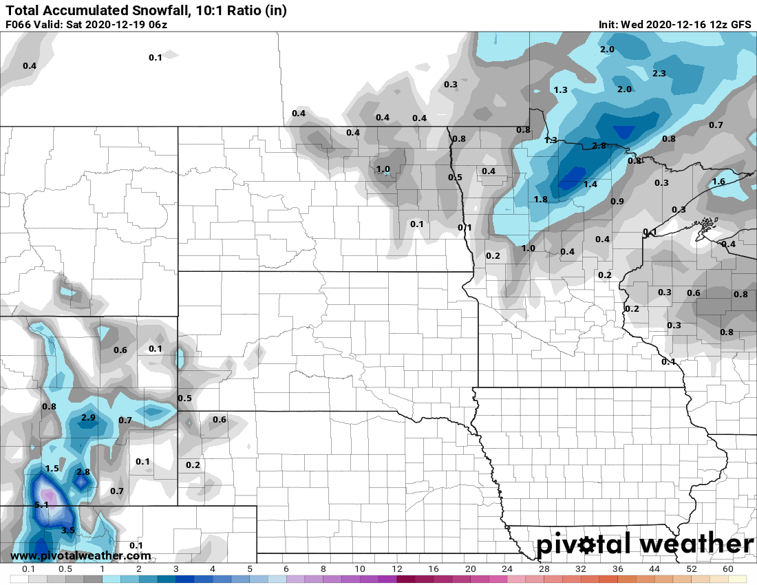
This looks like another weather system that will struggle to crank out significant snow in Minnesota. Most forecast models suggest only 1 to 3 inches possible across northern Minnesota.
Snowfall in Minnesota is running well below average this month. The Twin Cities has picked up just 0.6 inch so far. That’s 5.5 inches below average.

