
Big weather changes ahead Christmas week
A chance for snow, and a Christmas chill ahead
Go Deeper.
Create an account or log in to save stories.
Like this?
Thanks for liking this story! We have added it to a list of your favorite stories.


Get ready for some big weather changes Christmas week in Minnesota. The weather maps over Minnesota transition from mild to wild next week.
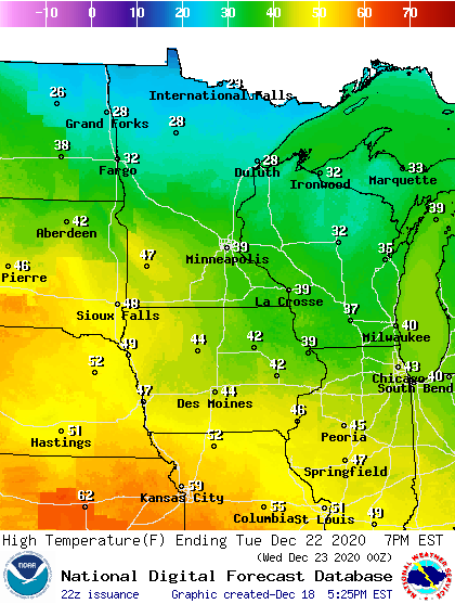
We start the week on mild notes. Southerly breezes blow in unseasonably mild air one more time on Monday and Tuesday. Highs in southern Minnesota will likely push into the 40s once again Monday and Tuesday.
Wednesday snow chance
So you’re sayin’ there a chance? Yes.
Forecast models are still driving a low-pressure system through Minnesota next Wednesday.
Turn Up Your Support
MPR News helps you turn down the noise and build shared understanding. Turn up your support for this public resource and keep trusted journalism accessible to all.
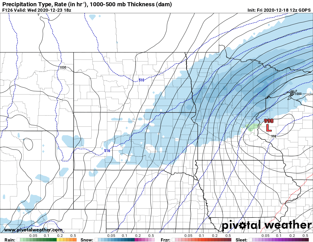
The big question is the forecast storm track. (What else is new?) Most models suggest the heaviest snow (3 to 6 inches potential) will fall north of the Twin Cities. Some models still suggest we could eke out an inch or two around the Twin Cities.
Could we salvage a (barely) white Christmas on Dec. 23?
Here’s the European model snowfall output.

Arctic air by Christmas Eve
The season’s coldest air mass so far looks likely to blast into Minnesota by Christmas Eve.

Temperatures Christmas Eve morning look likely to flirt with zero in the south, with minus 20s lurking up north.

Be ready for some big weather changes next week.

