
Nowcast: Light snow across northern and central Minnesota
1 to 2 inches most areas through Friday night

Go Deeper.
Create an account or log in to save stories.
Like this?
Thanks for liking this story! We have added it to a list of your favorite stories.


A cold front is dragging a band of light snow and mixed wintry precipitation across northern Minnesota Friday afternoon and evening.
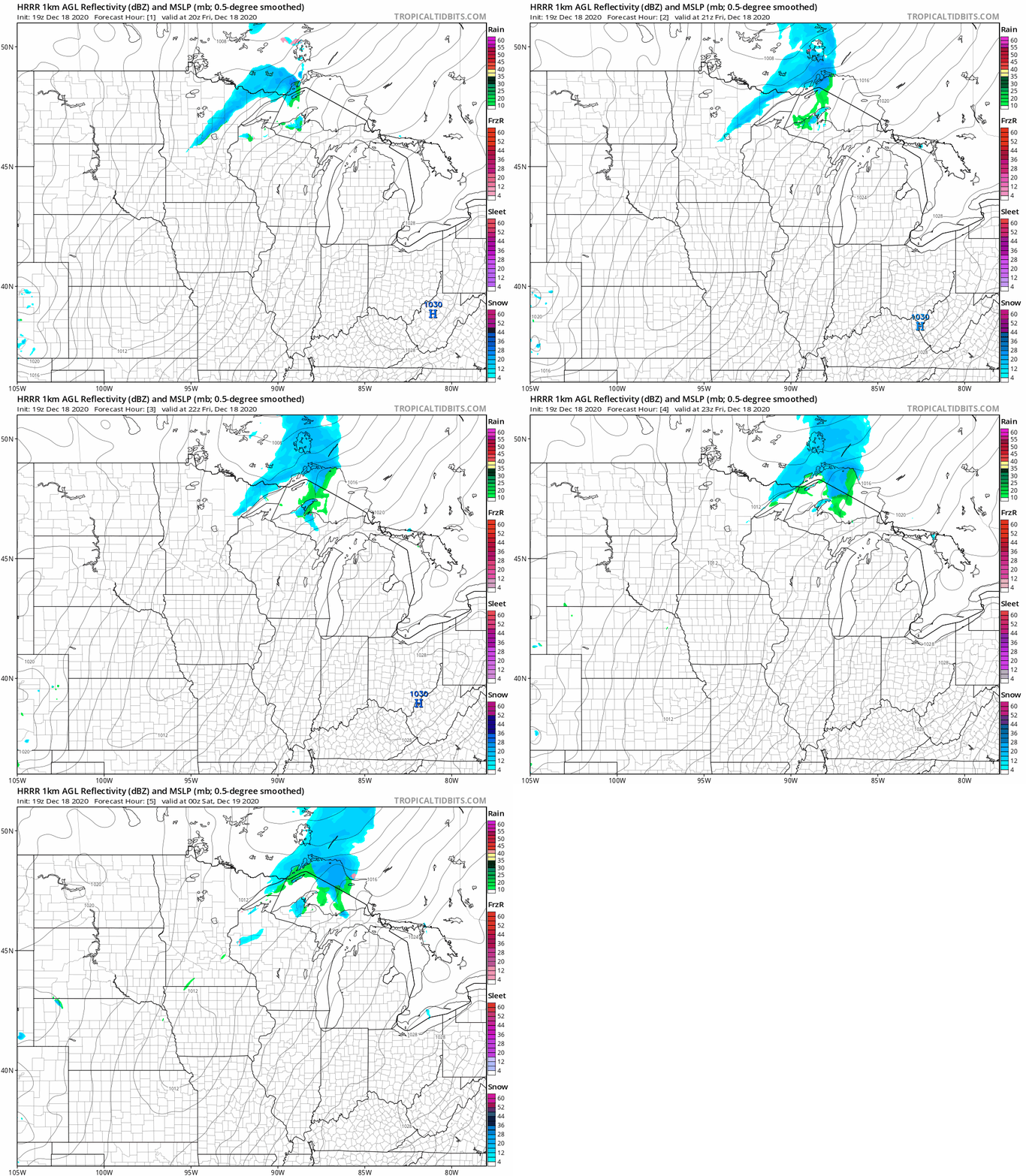
As of this post time, light snow and sleet are reported across parts of northern Minnesota. NOAA’s HRRR model tracks the wintry precipitation band across northeast Minnesota through Friday night.
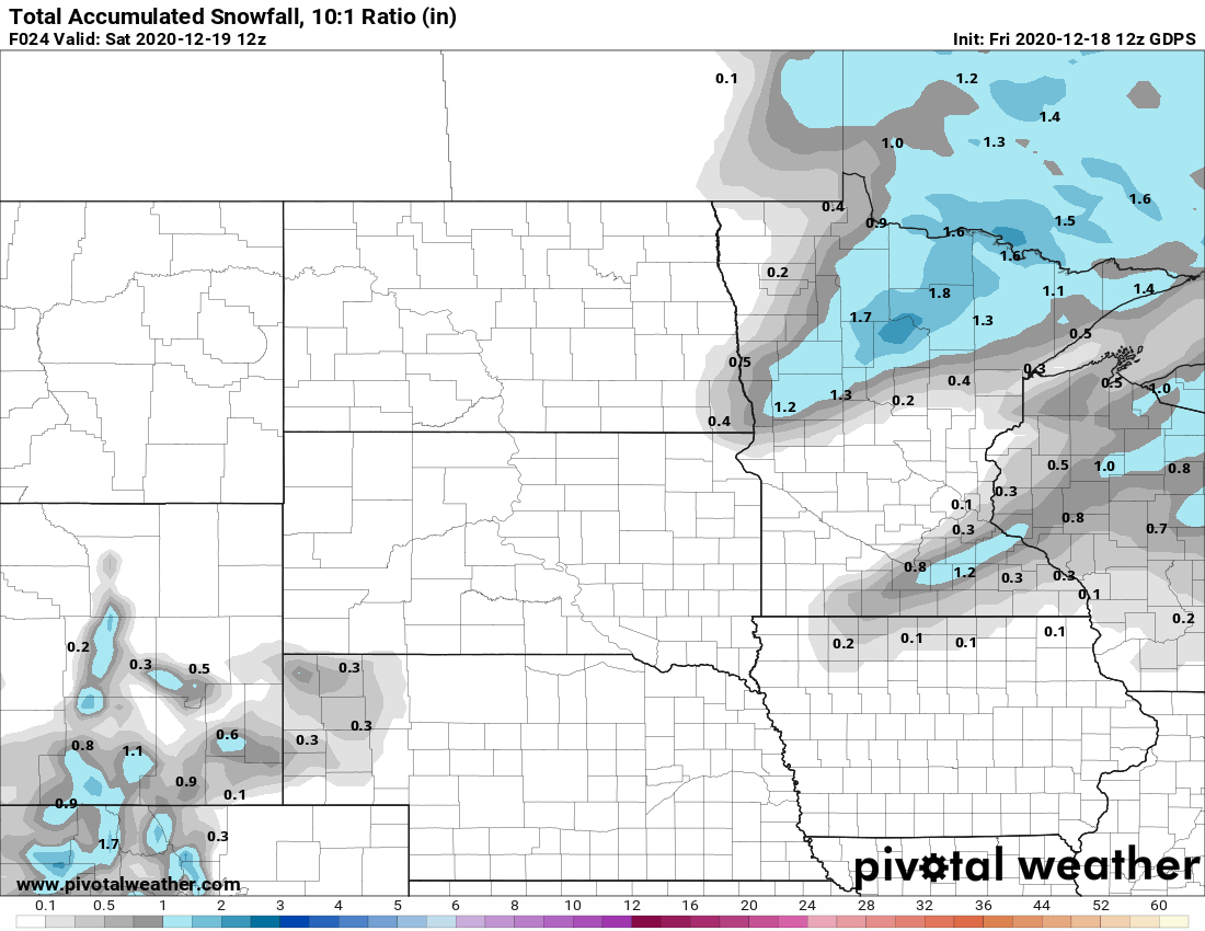
Snowfall totals with this minor system will be on the lighter side with accumulations of around 1 to 2 inches in most areas. Some areas will pick up less than an inch.
Some roads are partial to fully snow-covered across northern Minnesota. Here’s U.S. Highway 169 near Chisolm, Minn., Friday afternoon.

The Twin Cities and southern Minnesota may see a few sprinkles or light snow showers through Friday night as the front passes through.
Temperatures rose into the lower 40s in the Twin Cities and across parts of southern Minnesota Friday afternoon.
The average high for the Twin Cities Friday is 26 degrees.
Turn Up Your Support
MPR News helps you turn down the noise and build shared understanding. Turn up your support for this public resource and keep trusted journalism accessible to all.

