Plowable winter storm likely Thursday and Friday

Warmest day of January likely first on Wednesday with highs in the 40s.

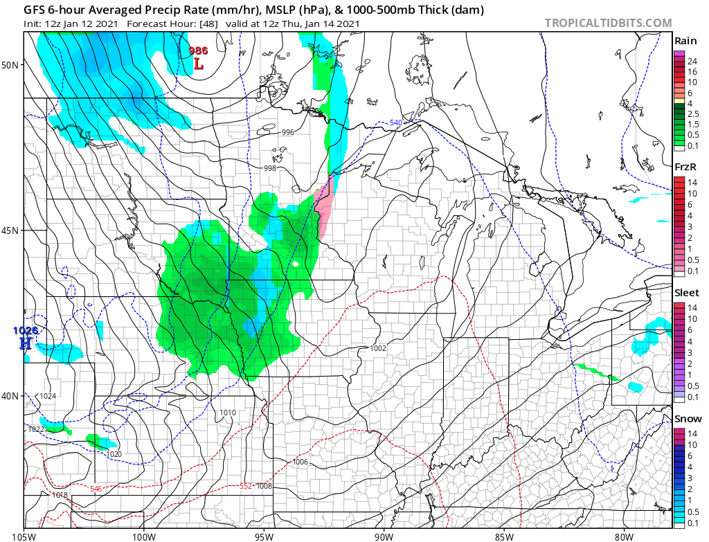
NOAA GFS model Thursday and Friday
NOAA via tropical tidbits

Get ready for another weather roller coaster ride Minnesota. We’re going from mild to wild again this week.

First, the mild.

Temperatures surged into the 30s and 40s again Tuesday across Minnesota.

Temperatures Tuesday afternoon
Oklahoma Mesonet

Balmy January Wednesday

Wednesday brings the peak of this three-day January thaw. The thermal ridge, the warmest part, of this remarkably mild Pacific air mass crosses the Upper Midwest Wednesday.

Create a More Connected Minnesota

MPR News is your trusted resource for the news you need. With your support, MPR News brings accessible, courageous journalism and authentic conversation to everyone - free of paywalls and barriers. Your gift makes a difference.

Temperatures will soar into the 60s in Nebraska and South Dakota Wednesday. Highs should easily reach the 50s in southwest Minnesota. My temperature computations suggest highs in the 40s are likely in the Twin Cities and much of southern and western Minnesota Wednesday afternoon, with 30s north.

Forecast high temperatures Wednesday
NOAA

Winter storm conditions Thursday and Friday

A big pattern change is on the way Thursday and Friday.

A low-pressure system will develop near the Canadian border Thursday, and a cold front will sweep across Minnesota. Temperatures will plunge to sub-freezing levels Thursday.

Bands of moderate to heavy snow will develop across northern Minnesota, with a wintry mix of rain, ice, and snow central and south.

Surface weather map for 7 am Thursday
NOAA

The storm system will likely deepen Friday and linger in northwest Wisconsin. That will produce wrap-around snowfall and strong winds across most of Minnesota Friday.

Early look at snowfall totals

It’s still about 72 hours until the bulk of accumulating snow falls on Friday. But the early snowfall totals from forecast models suggest heavy snow along the North Shore could reach 4 inches to more than 8 inches. Much of the rest of Minnesota appears likely to see snowfall in the 2 inches to 6 inches range.

European model (ECMWF) snowfall output
European model (ECMWF) snowfall output Thursday and Friday
ECMWF via pivotal weather

Keep in mind the snowfall map above can and will likely change. Use it as an early guidepost for possible snowfall through Friday.

This could be the start of a bigger pattern change that produces more consistent cols and snow across Minnesota in late January and beyond. The second half of winter could get “interesting.”

Stay tuned.