
One-day thaw: A shot at 40 Wednesday
Then arctic air sweeps in Thursday
Go Deeper.
Create an account or log in to save stories.
Like this?
Thanks for liking this story! We have added it to a list of your favorite stories.


Get ready for a mild one-hit winter weather wonder Minnesota.
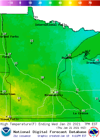
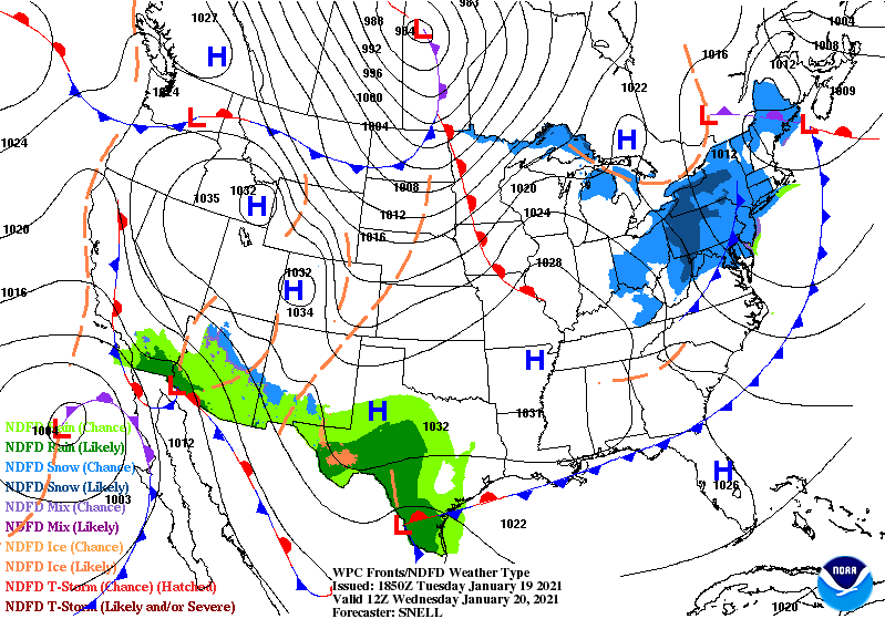
A brief surge of milder Pacific air blows into Minnesota Wednesday. The air mass is capable of temperatures near 40 degrees in parts of southern and western Minnesota, including the Twin Cities area. A strong warm front will blow through Minnesota Wednesday morning.
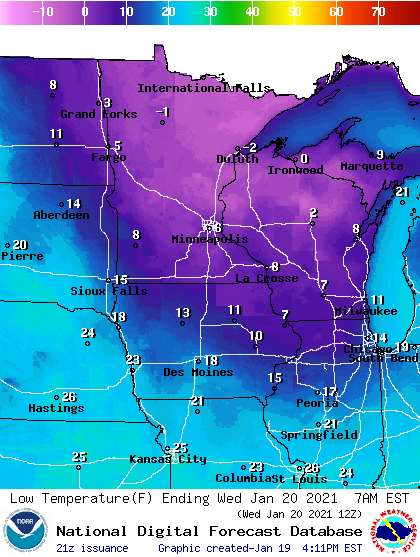
Wednesday’s milder air mass blows in after a chilly night across the Upper Midwest. Lows early Wednesday morning will hover a few degrees either side of 0 across northern Minnesota with single digits in the south.
Wednesday’s milder breezes combined with some sunshine should be enough to boost afternoon temperatures into the low 40s from near the Twin Cities through southwest Minnesota.
Arctic air returns Thursday cold fronts sweep south from Canada with reinforcing shots of colder air.
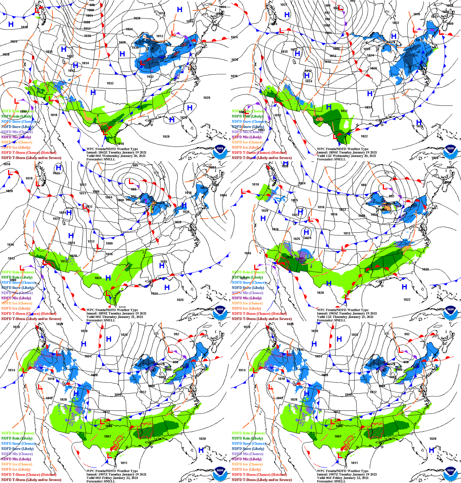
The cold peaks Saturday morning, when temperatures will dip below zero for the first time since Christmas morning in many locations.
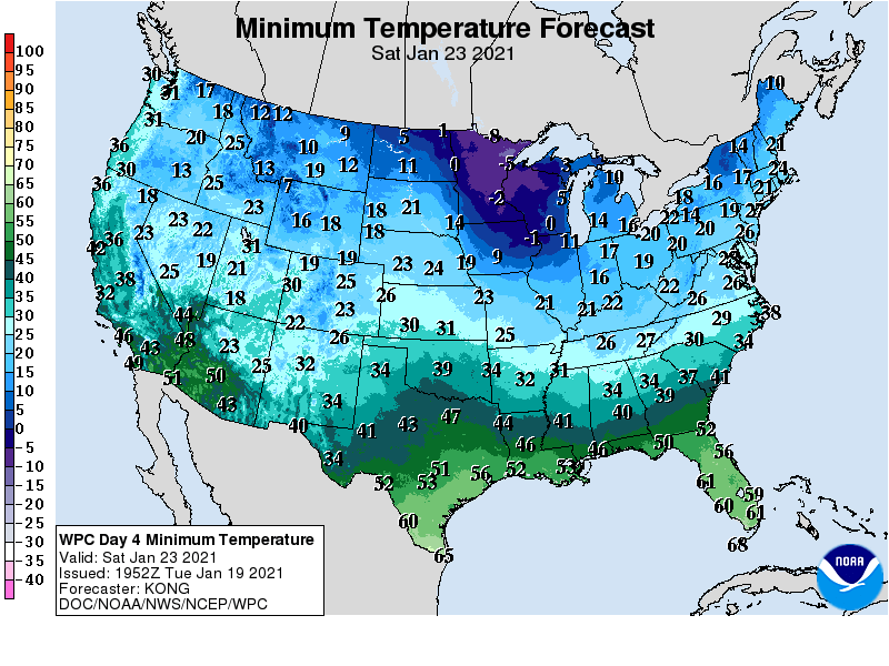
The Twin Cities has recorded just two days below zero so far this winter season.
Turn Up Your Support
MPR News helps you turn down the noise and build shared understanding. Turn up your support for this public resource and keep trusted journalism accessible to all.

