
February thaw ahead: 40s likely next week
Overall mild bias next 1-2 weeks?
Go Deeper.
Create an account or log in to save stories.
Like this?
Thanks for liking this story! We have added it to a list of your favorite stories.


Here comes the thaw.
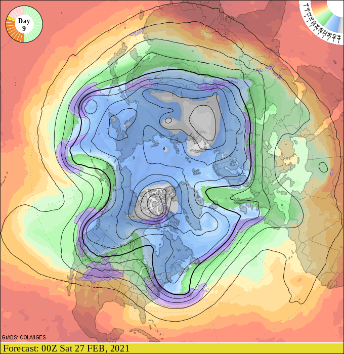
A Pacific breeze blows into Minnesota by Sunday. The pattern change feeds much milder air into the Upper Midwest next week. See how the upper winds blow from the west coast instead of the Arctic next week?
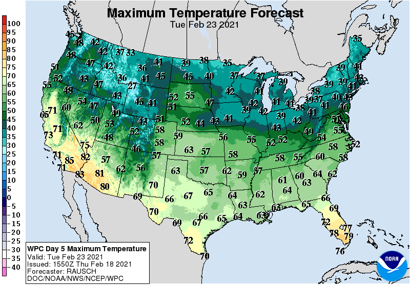
The milder air mass will boost temperature into the 30s and 40s across the state next week. Highs should reach the low 40s in the Twin Cities and much of western Minnesota, with 30s up north.
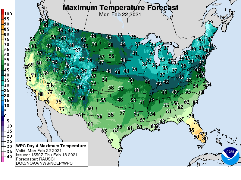
The warmer temperatures and much higher sun angle will start to melt some snow in Minnesota. Get ready for water in the streets. Stock up on blue juice for the car windshield.
Mild bias into March?
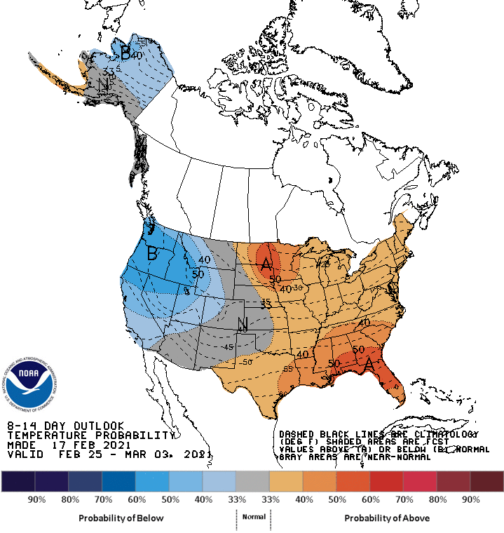
We know march is typically more winter than spring in Minnesota. But the medium-range forecast maps suggest a mild bias into the first days of March. The National Oceanic and Atmospheric Administration’s 8 to 14 day outlook favors milder than average temperatures.
We also know we’ll likely get more snow in March. And April? Some of the longer-range forecast maps suggest a snow event somewhere in the Upper Midwest around March 4.
So enjoy the coming thaw, but be ready for a potential classic heavy wet March snow event.
Turn Up Your Support
MPR News helps you turn down the noise and build shared understanding. Turn up your support for this public resource and keep trusted journalism accessible to all.

