Premature spring: Rare March rain system next week?
Next week looks warm enough for widespread rain across Minnesota
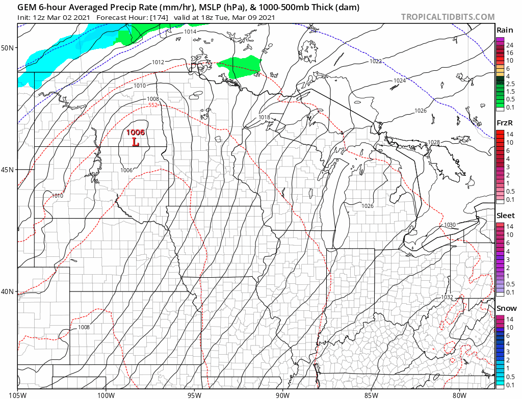
You’ve probably heard about those gnarly Minnesota state high school tournament snowstorms. Next week may bring a rare widespread March rainstorm to Minnesota.
Warmest in 4 months next week
Next week likely opens with the warmest weather in 4 months. The last time the Twin Cities was above 55 degrees was Nov. 9 when the mercury hit 66 degrees at the Minneapolis-St. Paul International Airport.
Our inbound air mass next week looks fully capable of highs in the mid-50s for the Twin Cities, with temps pushing 60 degrees in western Minnesota. Highs in the 40s will cover northern Minnesota.
March rain?
With that kind of warm air in place, any storms that approach should favor rain on the front side of the system, with potential snow on the backside. The Canadian model spins up a rainmaker next Tuesday into Wednesday.
Create a More Connected Minnesota
MPR News is your trusted resource for the news you need. With your support, MPR News brings accessible, courageous journalism and authentic conversation to everyone - free of paywalls and barriers. Your gift makes a difference.
NOAA’s GFS also winds up a storm but suggests more snow on the backside.
Of course, any forecast model read a week out is usually only effective in suggesting a potential system. We don’t rely on forecast details this far out, but it is likely suggesting precipitation. And that precipitation appears likely to take to the form of rain across much of Minnesota next Tuesday into Wednesday.
If we get significant rain next week, it will likely do a number on the remaining snow pack.
Stay tuned.