
Warming trend kicks in later this week; a shot at 60 by Sunday
April showers with a side of thunder possible Sunday.

Go Deeper.
Create an account or log in to save stories.
Like this?
Thanks for liking this story! We have added it to a list of your favorite stories.


Drip. Drip. Drip.
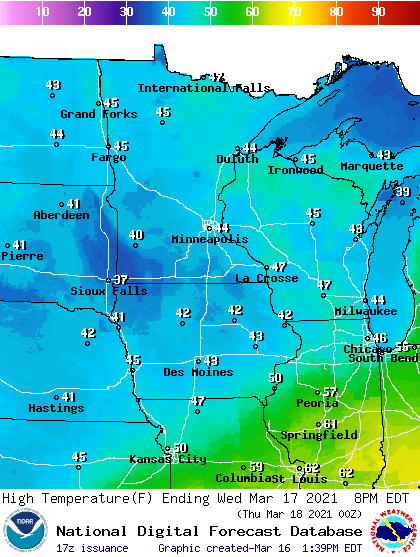
That’s about the pace of snowmelt this week in much of Minnesota. Temperatures today linger in the 30s across most of the state.

Our mostly gray sky means the stronger March sun intensity is working harder to try and melt snow through the overcast. As the sun comes out this week, some of it will be reflected back into space. That will trim a couple of degrees off the warmup until the snow melts and bare ground returns.

Highs Wednesday will reach the 40s across most of Minnesota.
Turn Up Your Support
MPR News helps you turn down the noise and build shared understanding. Turn up your support for this public resource and keep trusted journalism accessible to all.
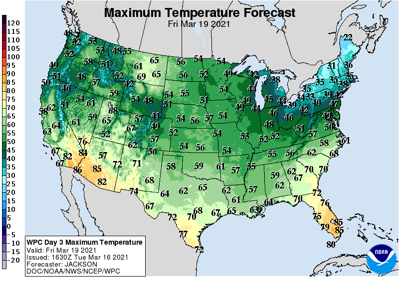
By Friday temperatures return to the 50s.
Warmer air arrives by the weekend
Our average high and low for the Twin Cities by Saturday are 43 and 26 degrees. That’s why temperatures this weekend will feel much more typical for April than March.
Highs will reach the upper 50s to near 60 degrees in the Twin Cities this weekend.
Saturday looks windy but sunny and milder. Sunday brings another shot of rain. These April showers in March could come with a side of thunder.
Monday’s wintry setback is ready to give way to another surge of springlike warmth this weekend.

