
Nowcast: Next rain wave moving north; steadier, heavier rain through evening
Soaking rain tonight, some snow up north
Go Deeper.
Create an account or log in to save stories.
Like this?
Thanks for liking this story! We have added it to a list of your favorite stories.


Our wet start Tuesday gave way to several dry hours surrounding midday. But the storm system is moving closer to Minnesota, and the next rain wave is moving north.
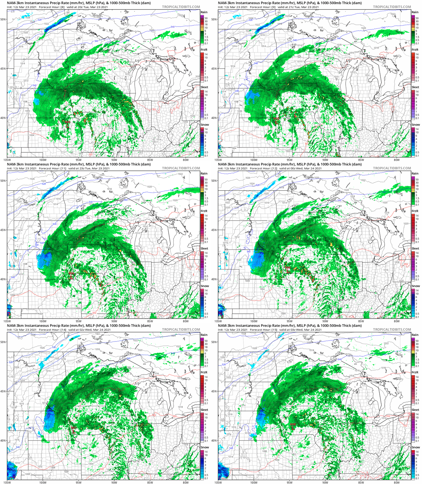
NOAA’s NAM 3 km resolution model shows the next rain wave spinning north through the evening.
Soaking rains
Forecast models suggest rainfall totals will reach an inch in many locations across eastern Minnesota by late Wednesday.
Here’s the European model output.

Snow up north
This system will draw in just enough sub-freezing air to change rain to snow in parts of central and northern Minnesota Tuesday night into Wednesday. NOAA’s NAM 3 km resolution model picks up on that trend.
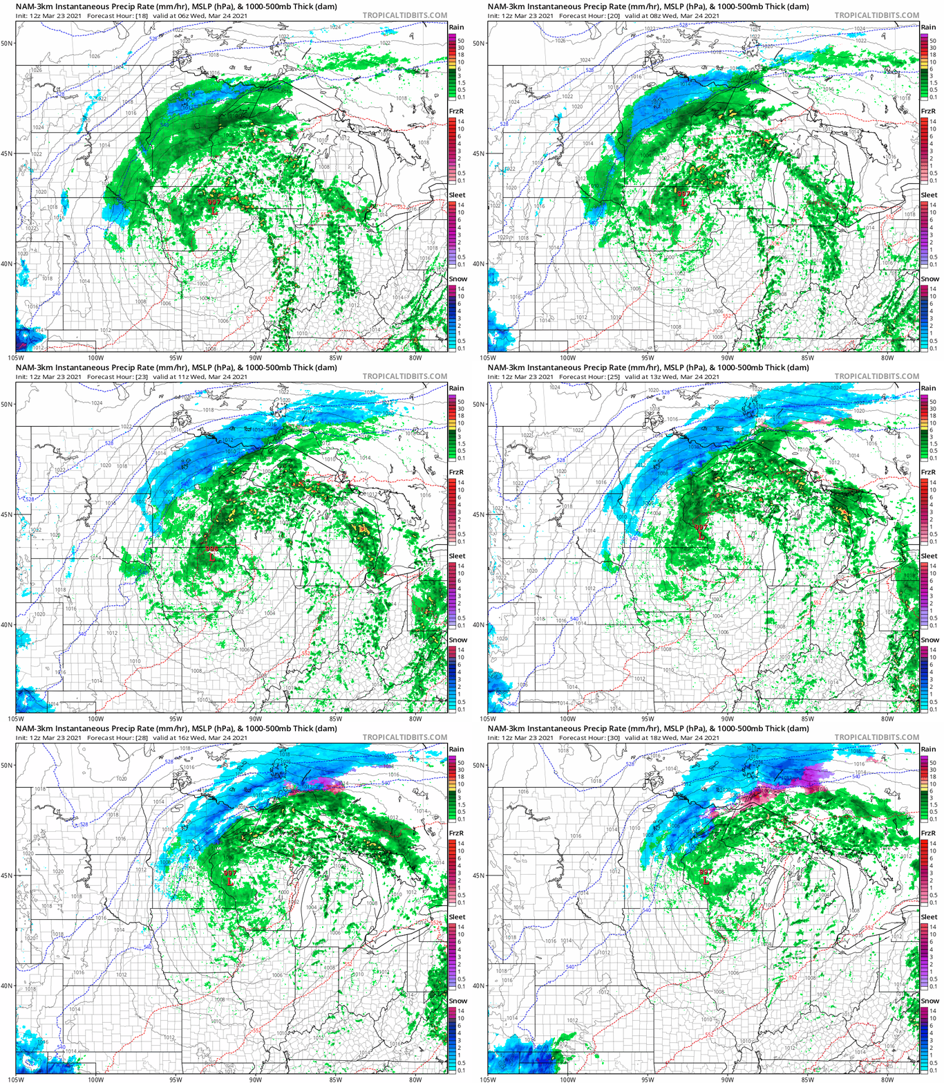
An inch or two of slush may accumulate from Alexandria into Brainerd. But some locations from near Grand Rapids through the Iron Range to near Ely and the BWCA could see 2 to 5 inches of wet snow by later Wednesday.

Turn Up Your Support
MPR News helps you turn down the noise and build shared understanding. Turn up your support for this public resource and keep trusted journalism accessible to all.

