
Springy: Highs in the 70s in sight
The warmest air mass of 2021 blows into Minnesota in the next two weeks
Go Deeper.
Create an account or log in to save stories.
Like this?
Thanks for liking this story! We have added it to a list of your favorite stories.


Spring is on the weather maps.
Our latest soggy storm eases out of Minnesota overnight. We enjoy a return to sunshine Thursday and Friday. Highs favor the 40s north and 50s south through this weekend. Saturday brings a chance for light rain south and light snow north.
First 70s next week?
Next week’s weather maps favor the warmest temperatures of the year so far. It all starts Monday, when high temperatures surge through the 60s, and could approach the 70-degree mark Monday in parts of Minnesota afternoon.

A cool front brings cooler temperatures with high in the 40s and 50s in the middle of next week. But the upper air pattern forecasts push an even warmer air mass into Minnesota by next Friday.
Turn Up Your Support
MPR News helps you turn down the noise and build shared understanding. Turn up your support for this public resource and keep trusted journalism accessible to all.
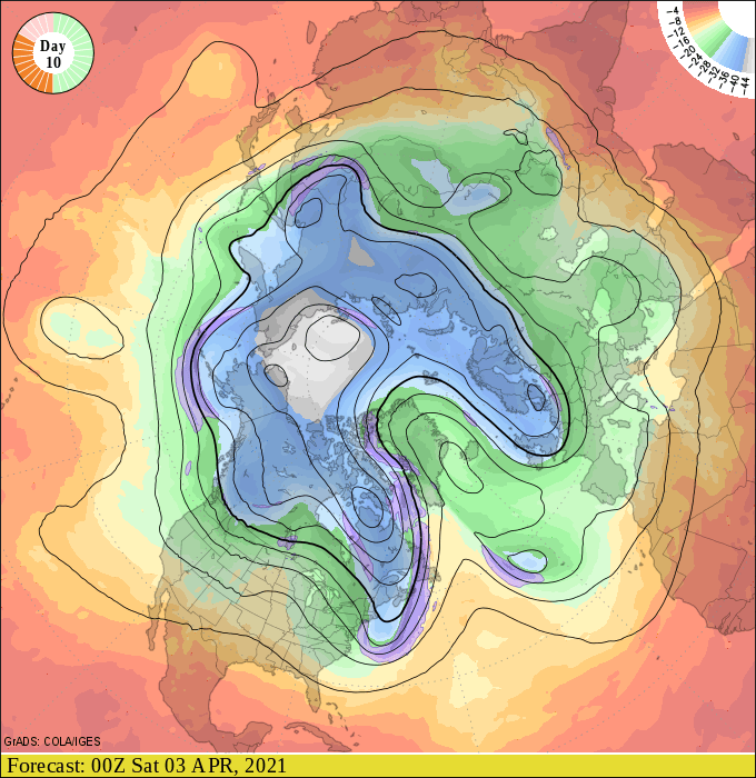
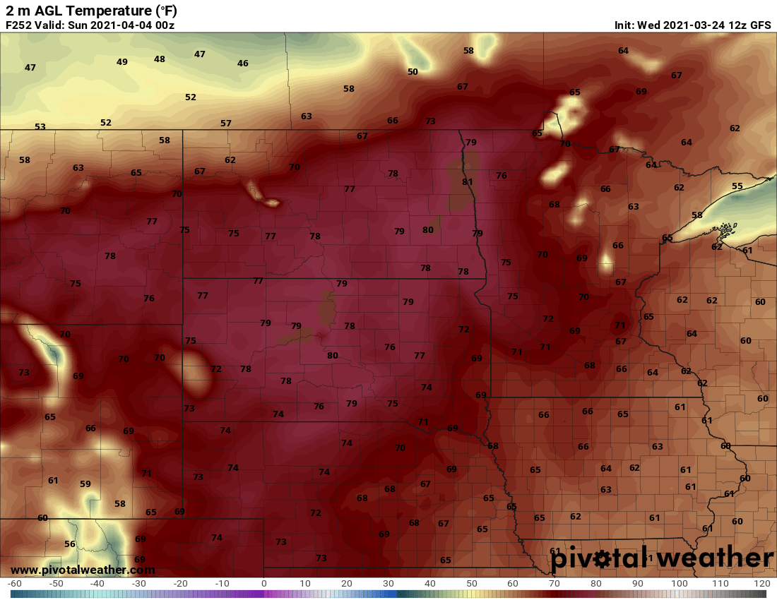
That favors highs the first weekend of April into the 70s across much of Minnesota. NOAA’s GFS model lays out the warmth for Saturday, April 3.
If we hit 70 in the Twin Cities it will be the warmest air mass in about five months. The last time the Twin Cities managed 70 degrees was Nov. 8, 2020. The average date for the first 70-degree temperature in the Twin Cities is April 13. If we hit 70 on Saturday, April 3, that’s 10 days earlier than average.
Balmy April?
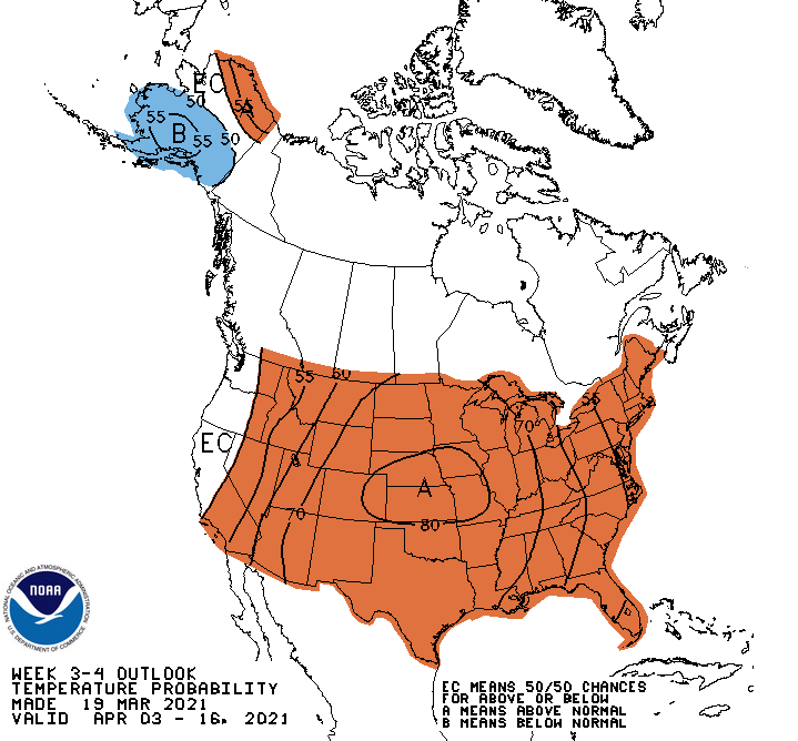
The meteorological tea leaves point to a potentially balmy April for Minnesota and much of the U.S. NOAA’s week 3-4 outlook strongly favors warmer than average temperatures overall through mid-April.
If we manage to escape an April snowstorm this year, this could be one of the earliest springs in recent memory.
Stay tuned.

