
String of 70s ahead; will April's other snowy shoe drop this year?
First weekend in April will feel more like June

Go Deeper.
Create an account or log in to save stories.
Like this?
Thanks for liking this story! We have added it to a list of your favorite stories.


It may sound like an early April Fool’s joke.
Another unseasonably warm air mass blows into Minnesota for the first weekend of April. Highs this weekend will feel more like June than April.
Jet stream shifts north
What’s the biggest driver of our weather patterns in the Upper Midwest? It’s the position of the jet stream.
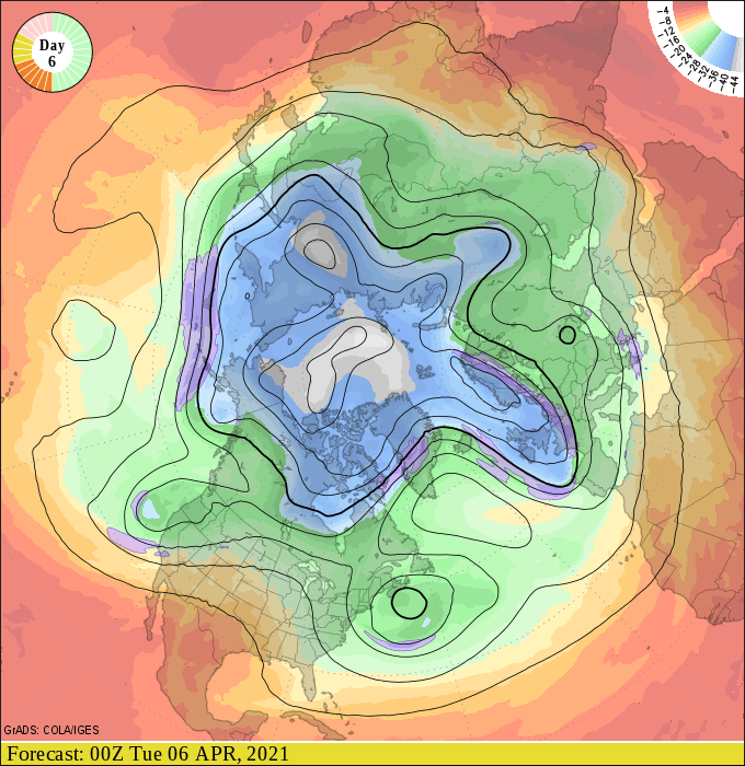
The jet stream across North America is about meander far north of its climatological mean position once again. Watch how the core of the upper winds lift well north of Minnesota into Canada again this weekend into early next week.
Turn Up Your Support
MPR News helps you turn down the noise and build shared understanding. Turn up your support for this public resource and keep trusted journalism accessible to all.
String of 70s
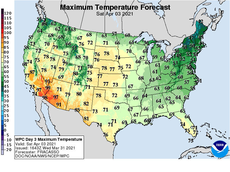
The northerly jet position allows another unseasonably mild air mass to blow into the Upper Midwest. Combine the milder air mass with increasingly powerful early April sunshine, and you have a recipe for high temperatures well into the 70s, and possibly even 80s.
Saturday’s highs reach 60 degrees in much of northern Minnesota, with 70s south and west.
By Monday, temperatures push well into the 70s, with 80s once again surging into western Minnesota.
The warm air mass is likely to linger into next Tuesday, before somewhat cooler air returns late next week.
April snow this year?
The past three Aprils have brought heavy snow to Minnesota. With our big warmup, we’re always tempted to think April’s other, colder, snowier, shoe can’t be far behind.
While there are no indication of a big April snow event so far, The National Oceanic and Atmospheric Administration’s GFS does suggest a colder pattern with potential snow around April 18.
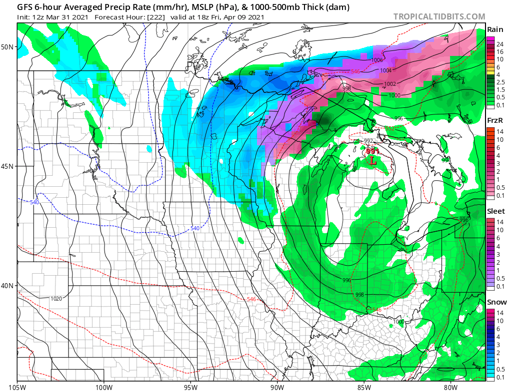
This could just be a model hiccup, or a preview of one last spring snow for parts of Minnesota.
Stay tuned.

