
Thunderstorm, slight severe risk tonight; 1 to 3-inch rainfall for many this week
Scattered storms likely tonight after record heat Monday. Wetter week evolving.

Go Deeper.
Create an account or log in to save stories.
Like this?
Thanks for liking this story! We have added it to a list of your favorite stories.


Our July interlude caps off with a thunder threat Monday night.
A cold front eases through Minnesota overnight. Scattered thunderstorms are likely along the frontal zone. Forecast models differ on storm timing and coverage.
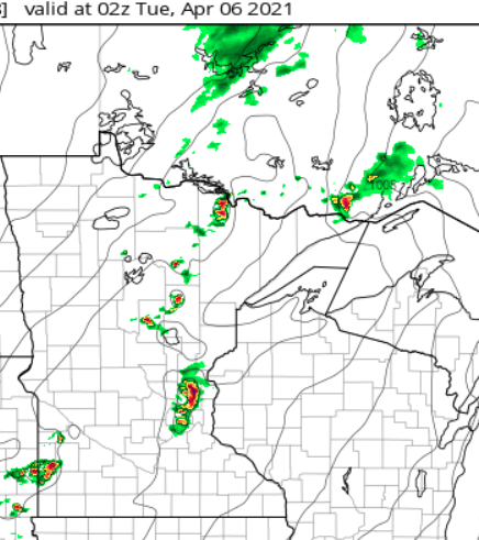
NOAA’s latest NAM 3 km resolution suggests a thunder cluster in the Twin Cities as early as 9 p.m. Monday night.
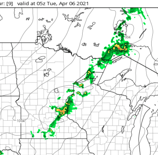
NOAA’s HRR model suggests a later onset near the Twin Cities, with a cluster in the Twin Cities around midnight.
Turn Up Your Support
MPR News helps you turn down the noise and build shared understanding. Turn up your support for this public resource and keep trusted journalism accessible to all.
NOAA’s Storms Prediction Center lays out the slight severe risk zone.
Wet week ahead
Monday’s night’s storm coverage looks spotty. But more widespread rains are moving in this week. A low-pressure system arrives Tuesday, then stalls over Minnesota this week. It won’t rain all the time, but rain chances will be there each day into the weekend.
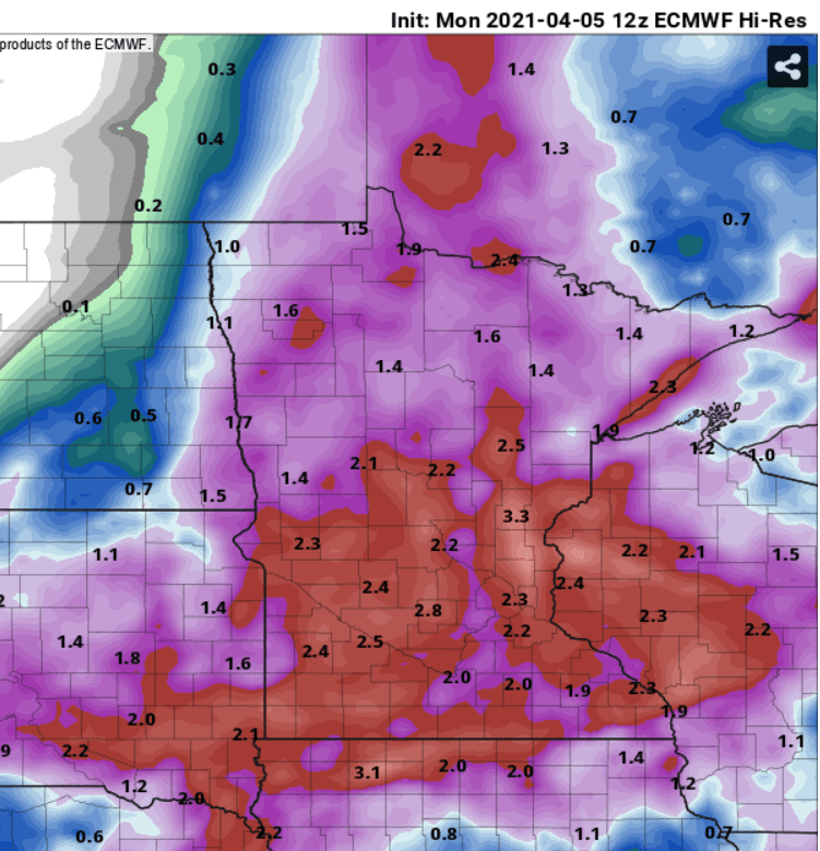
A widespread swath of 1- to 3-plus-inch rainfall looks likely by this weekend.
Keep the rain gear handy.

