
Showery Friday, nice Sunday, frost and freeze ahead next week
Frost still typical in mid-April
Go Deeper.
Create an account or log in to save stories.
Like this?
Thanks for liking this story! We have added it to a list of your favorite stories.


Our Showery April car wash lingers for one more day Friday.
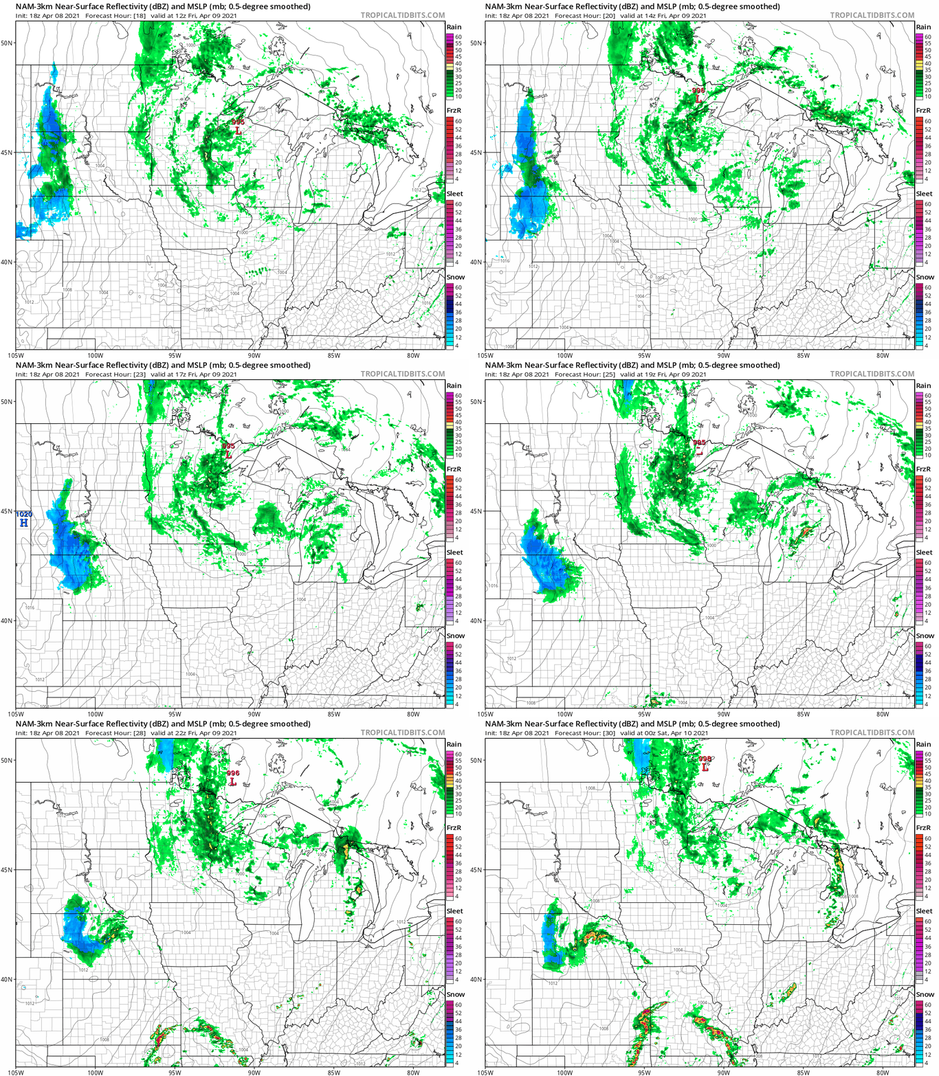
Expect more waves of rain Friday as our stalled low-pressure system finally pulls out of Minnesota this weekend.
NOAA’s NAM 3 km resolution model shows showers spinning around the low as it finally begins to push east late Friday. The loop below is from 6 a.m. to 6 p.m. Friday.
Impressive rainfall totals this week
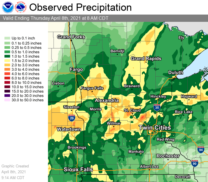
Rainfall totals across Minnesota have been impressive this week. Soaking rains of 1 to 3 inches cover big chunks of Minnesota. Drier areas include southeast and far northwest Minnesota.
Turn Up Your Support
MPR News helps you turn down the noise and build shared understanding. Turn up your support for this public resource and keep trusted journalism accessible to all.
Split weekend
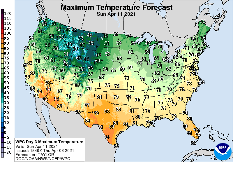
Saturday brings mainly dry but cloudy weather with some sunny breaks. Highs will generally be in the 40s north and 50s south.
Sunday brings more sun, light winds and a pretty nice day with milder temperatures.
Frost again next week
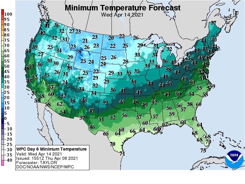
April’s colder weather shoe drops next week. Highs will run in the 30s north and 40s south Tuesday and Wednesday.
Overnight lows will dip into the 20s north and 30s south. It will freeze in northern Minnesota next week. Frost is likely Tuesday through Thursday mornings across much of southern Minnesota including the Twin Cities.
Frost is common in mid-April The average date of the last 32-degree temperature at the Minneapolis-St. Paul International Airport is April 25.

