
Minnesota takes a big step forward into spring next week
More frequent highs in the 60s and even some 70s next week

Go Deeper.
Create an account or log in to save stories.
Like this?
Thanks for liking this story! We have added it to a list of your favorite stories.


It’s the time of year when Minnesotans are ready to lose the cold air. We endured yet another chilly day with some record low temperatures this morning.
But temperatures finally trend upward we head toward the last week of April.
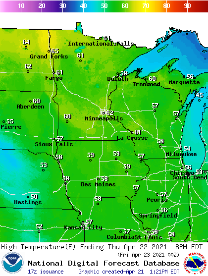
It begins with a pretty nice Thursday. Highs push toward the 60-degree mark around much of Minnesota with more abundant sunshine Thursday.
Occasional showers this weekend
Friday through Sunday brings more occasional showers. There will be some sunny hours this weekend. The highest chance for showers in the Twin Cities are Friday and Sunday. NOAA’s GFS model paints the minor weather systems moving through Between Friday and Sunday.
Turn Up Your Support
MPR News helps you turn down the noise and build shared understanding. Turn up your support for this public resource and keep trusted journalism accessible to all.
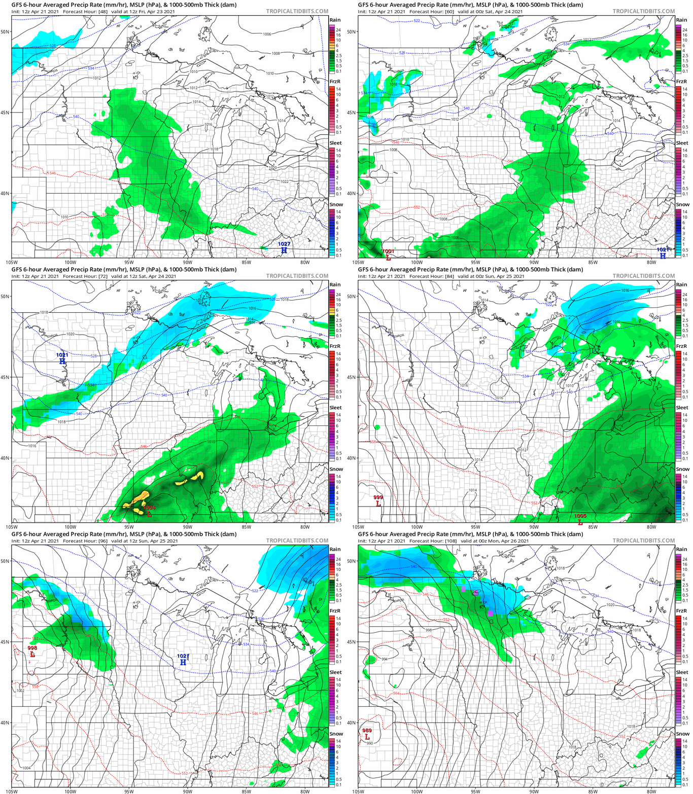
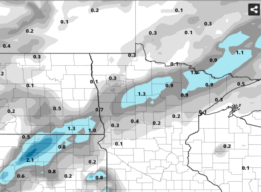
It looks cold enough for some snowflakes north of the Twin Cities overnight Friday night into Saturday morning. There could be some minor fleeting accumulation Saturday morning.
Monday warm front
Next week begins with a strong spring warm front. Temperatures Monday and Tuesday rise quickly into the 60s and 70s across southern Minnesota.
A low-pressure system Wednesday looks likely to deliver widespread rainfall to Minnesota.

Forecast models still differ on storm track and rainfall totals next week.
Stay tuned.

