
Scattered showers Wednesday, sunshine returns later this week
Temperatures running about 5 degrees cooler than average this week
Go Deeper.
Create an account or log in to save stories.
Like this?
Thanks for liking this story! We have added it to a list of your favorite stories.


Sunshine has been a welcome feature of our weather so far this week.
Wednesday brings more clouds and some showers to southern Minnesota. But more hours of sunshine return for Thursday and Friday.
Light rain Wednesday
Wednesday’s weather system is fairly weak, but it is strong enough to generate some light rain across southern Minnesota. NOAA’s GFS model paints the mostly light rain zone drifting across the southern half of Minnesota Wednesday.
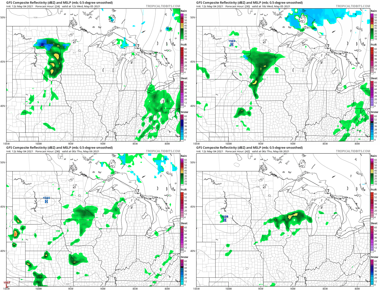
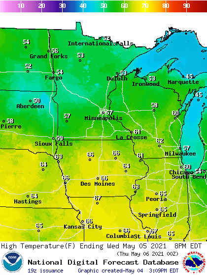
For the Twin Cities, showers favor the midday and afternoon hours. High temperatures Wednesday hover in the 50s across Minnesota.
Turn Up Your Support
MPR News helps you turn down the noise and build shared understanding. Turn up your support for this public resource and keep trusted journalism accessible to all.
Sunshine returns Thursday
Forecast models suggest more sun Thursday and Friday. Highs should again push toward the 60-degree mark across southern Minnesota Thursday and Friday.
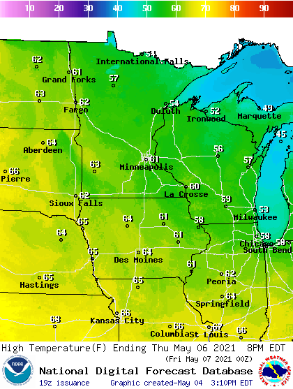
That’s still a few degrees below the average of 67 degrees.
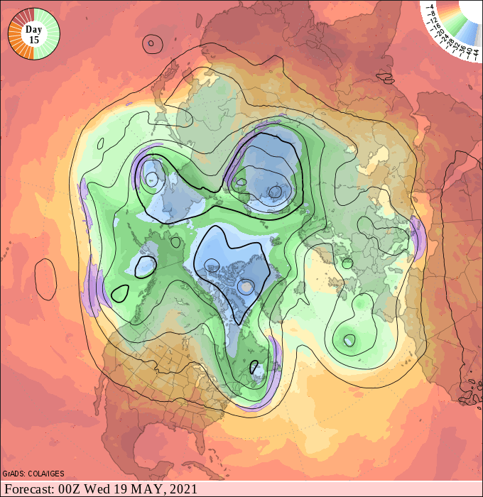
Our cool, slow-motion spring continues. Right now I don't see a big pattern change until possible May 18 or 19. The upper wind pattern shows signs of shifting by then and that may bring considerably warmer air into Minnesota.
Stay tuned.

