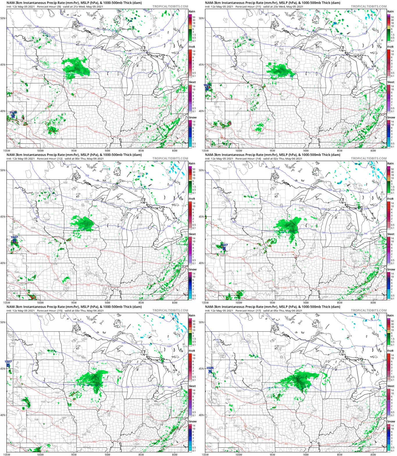
Scattered showers moving across southern Minnesota into this evening
Rainfall totals mostly less than .25".

It’s another cool and slightly soggy spring day across southern Minnesota.
A weak low-pressure system is spawning scattered showers. Most of the precipitation is light. NOAA’s NAM 3 km resolution model paints the rain zone from the Twin Cities southward toward the Iowa border. The forecast model loop below runs between 3 pm and midnight.

Light rainfall totals
Rainfall totals with this system will be light. Most areas will see less than .25” of rain by late tonight. Here’s the European model rainfall output through 7 am Thursday.

Sun returns
The bright spot in our forecast this week is that most of the days will be sunny. Sunshine returns Thursday and into much of the weekend across most of Minnesota. Highs near 60 south, and in the 50s north will be common.

So our forecast looks cool but pleasant.
Create a More Connected Minnesota
MPR News is your trusted resource for the news you need. With your support, MPR News brings accessible, courageous journalism and authentic conversation to everyone - free of paywalls and barriers. Your gift makes a difference.