
Friday showers; 70s and 80s ahead — starting Sunday
There's a summerlike weather pattern ahead

Go Deeper.
Create an account or log in to save stories.
Like this?
Thanks for liking this story! We have added it to a list of your favorite stories.


Here come the 80s. We’ve earned it.
Temperatures hit 70 degrees across much of Minnesota Thursday afternoon.
Friday brings scattered showers to Minnesota, especially from the Twin Cities southward. NOAA’s North American Mesoscale Forecast System (NAM) paints the shower zone moving through southern Minnesota Friday.
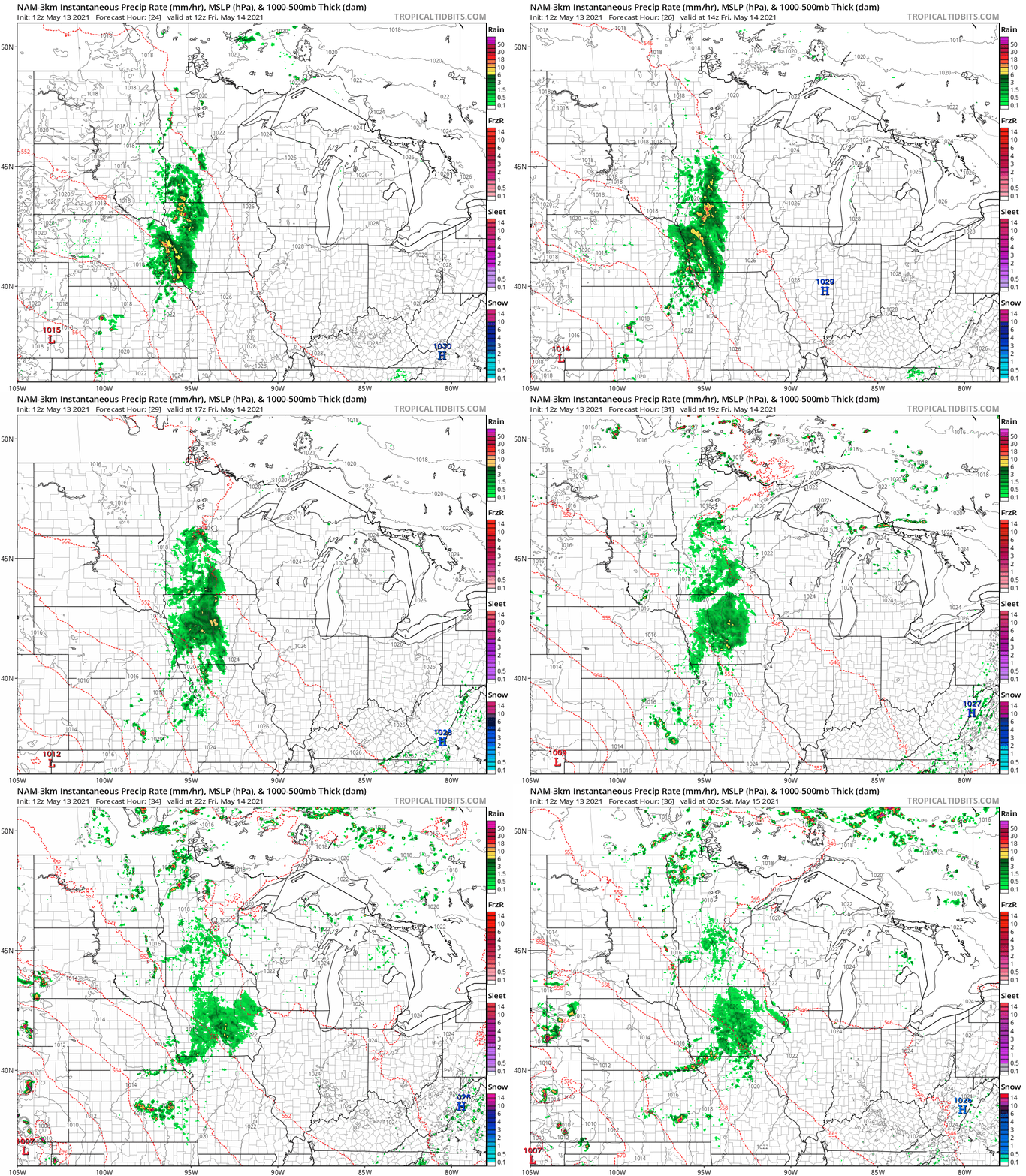
Rainfall totals look light overall. The Twin Cities may pick up .10 inches or less. Rainfall of .25 inches or more favors areas south and west of the Twin Cities. Highs will run cooler in the 60s Friday and Saturday.
Turn Up Your Support
MPR News helps you turn down the noise and build shared understanding. Turn up your support for this public resource and keep trusted journalism accessible to all.
Summerlike pattern ahead
Saturday brings some clouds and just a slight shower chance. Warm sunshine returns by Sunday. Highs will rebound into the mid-70s by Sunday afternoon.
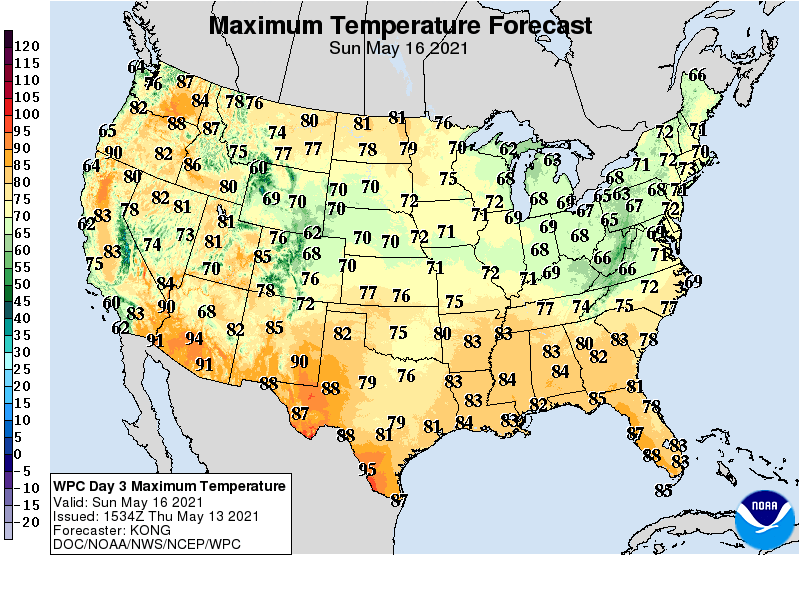
By Monday, the warmest air mass in weeks moves into Minnesota. Highs will push into the lower 80s Monday into Wednesday of next week.
More humid weather brings scattered showers and thunderstorms late next week.

