Rainy through Thursday; summerlike weekend ahead
.50" to 1" rainfall for some locations by Friday

Go Deeper.
Create an account or log in to save stories.
Like this?
Thanks for liking this story! We have added it to a list of your favorite stories.


Doppler radars are lighting up across Minnesota through Thursday. Some much-needed rainfall is on the way for many Minnesota locations.
A southerly flow from the Gulf of Mexico is streaming moisture into the Upper Midwest. Dew points are climbing through the 60s will provide fuel for scattered showers and thunderstorms.
NOAA’s GFS model paints areas of scattered rain into Thursday around Minnesota. The most widespread downpours favor the overnight hours into Thursday morning.
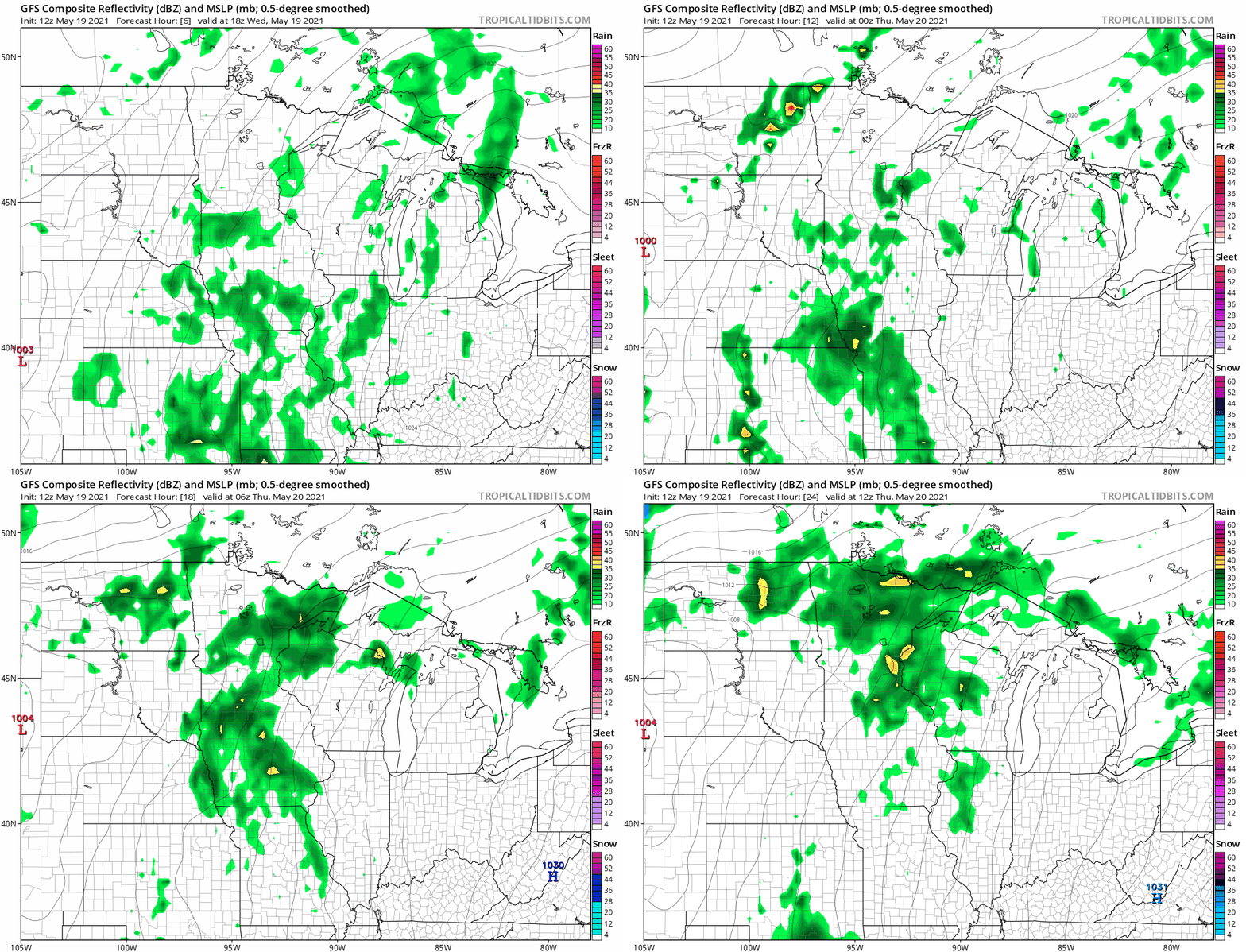
Rainfall totals of .50” to 1” favor eastern Minnesota by Friday morning. But there can always be pockets of locally heavier rain with warm-season convective rain cells.
Turn Up Your Support
MPR News helps you turn down the noise and build shared understanding. Turn up your support for this public resource and keep trusted journalism accessible to all.
A shot at 90 Saturday?
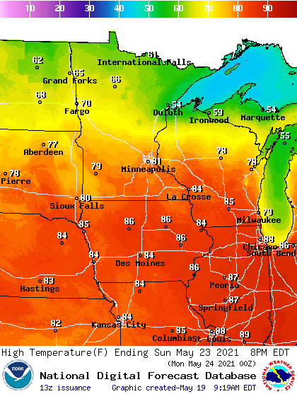
Friday through the weekend are looking downright steamy across much of Minnesota. Highs peak near 90 degrees Saturday afternoon in many locations including the Twin Cities.

Saturday’s tropical air mass also features dew points in the upper 60s to near 70 degrees. That will push the heat index to near 100 degrees across southern Minnesota Saturday afternoon.
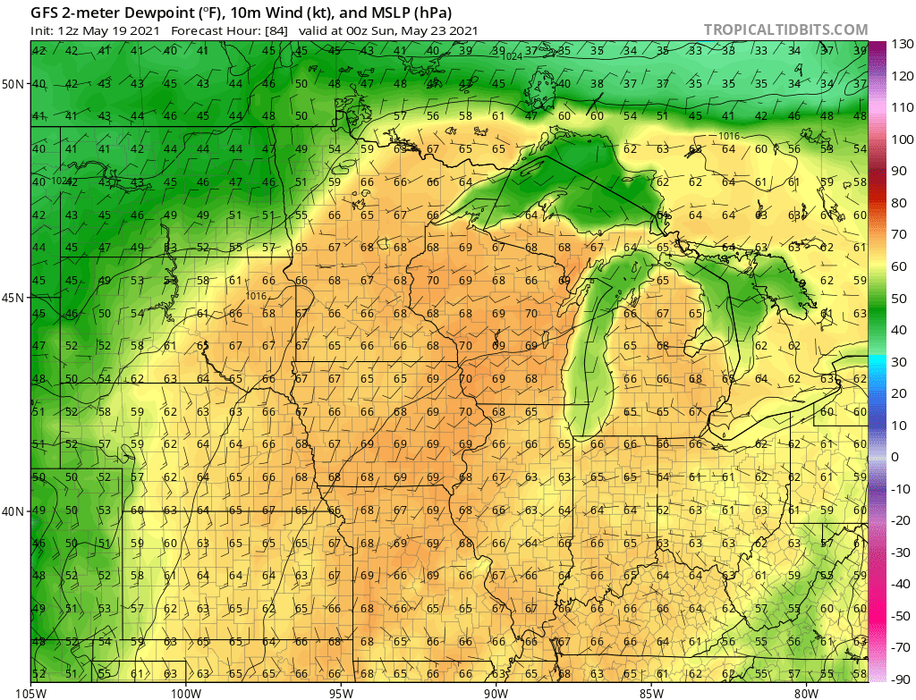
Cooler air pushes south across northern Minnesota this weekend and temperatures will moderate by Sunday.