
October starts mild and dry. Wetter pattern ahead?
A pattern change to more widespread October rainstorms is emerging.
Go Deeper.
Create an account or log in to save stories.
Like this?
Thanks for liking this story! We have added it to a list of your favorite stories.


Our seemingly endless summer of ‘21 may finally be running out of steam.
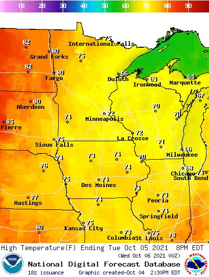
This first full week of October brings one more shot of significantly milder than average weather to Minnesota. Morning fog Tuesday gives way to sunshine once again Tuesday afternoon. Southerly breezes the rest of this week should keep the atmosphere mixed at night and keep fog at bay.
High temperatures are still running a good 10 degrees above average this week. Look for plenty of 70s with a few 80s again nipping at western Minnesota.
Wetter pattern developing
Most of this week will be pleasantly dry.
Turn Up Your Support
MPR News helps you turn down the noise and build shared understanding. Turn up your support for this public resource and keep trusted journalism accessible to all.
But by this weekend, scattered rains will begin to make a move into Minnesota.

And the forecast models for next week are starting to look more “interesting.”
Models are spinning up a couple of more typical-looking October storm systems that could deliver widespread rains to Minnesota.
NOAA’s GFS model spins up a stronger Octoberish low-pressure system next Tuesday through Thursday.
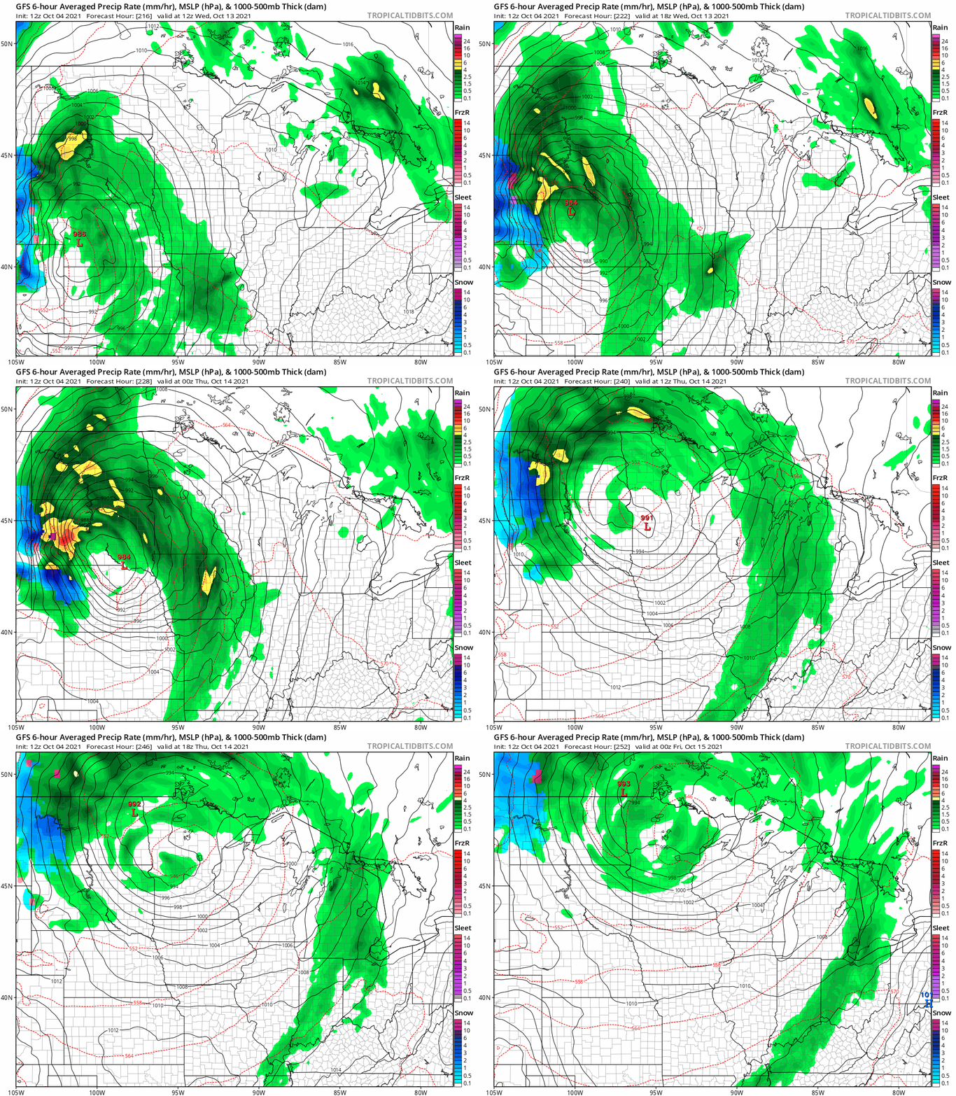
The GFS also spins up a second storm for the weekend of Oct. 16-17.
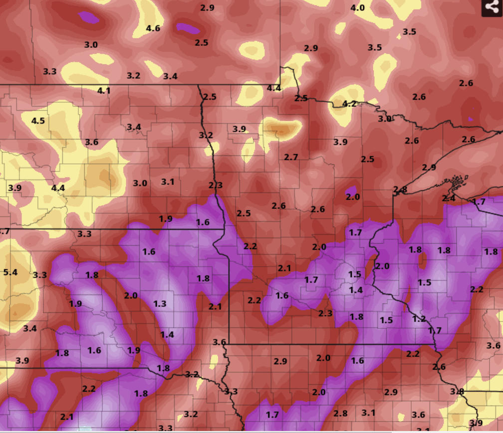
Overall forecast models are starting to crank out some impressive rainfall totals over the next two weeks. NOAA’s GFS model cranks out widespread 2 to 4-inch rainfall with some local 5-inch plus rainfall pockets for the Dakotas, northern Minnesota and southern Canada through Oct. 19.
Again, it’s best not to take the precise precipitation magnitude and spatial coverage of this type of model output literally. But these can be a good guide as to rainfall trends over the medium range.
It looks like parts of the Upper Midwest could get some beneficial soil and hydrologic moisture recharge as we move deeper into October.
Stay tuned.

