October reality check: Wind-driven rains Wednesday
2 feet of snow possible in the Black Hills

Go Deeper.
Create an account or log in to save stories.
Like this?
Thanks for liking this story! We have added it to a list of your favorite stories.


October is about to remind us what month we’re living through.
A powerful October storm winds up and rolls through the Dakotas Wednesday. The system brings widespread rainfall and gusty winds to Minnesota.
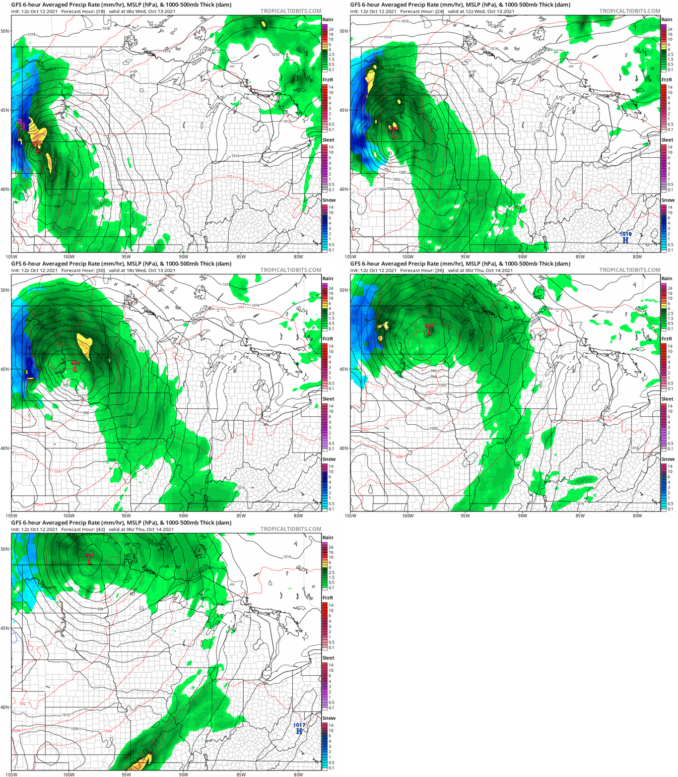
The National Oceanic and Atmospheric Administration’s GFS model shows rain waves rolling through Minnesota Wednesday. The loop below runs between 1 a.m. Wednesday and 1 a.m. Thursday.
Heaviest rainfall west
The heaviest rainfall with this system favors western Minnesota closer to the center of the system. An inch of rain looks likely in much of western Minnesota. The Twin Cities and eastern Minnesota look more likely to pick up .25 to .5 inches of rain by Thursday.
Turn Up Your Support
MPR News helps you turn down the noise and build shared understanding. Turn up your support for this public resource and keep trusted journalism accessible to all.
Wind gusts over 40 mph will cover most of Minnesota Wednesday.
Could be worse…
We still need the rain in Minnesota. But at least we’re not getting heavy snow. The Black Hills in western South Dakota ride the colder side of the storm.
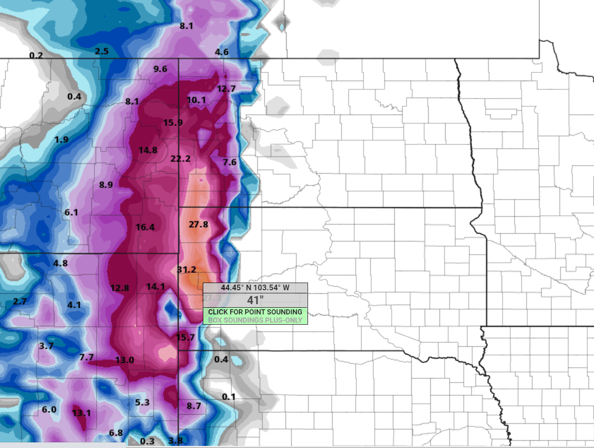
Winter storm warnings are up for 2 to 3 feet of snow in the Black Hills.

Some forecast models are cranking out prolific snowfall totals in excess of 3 feet locally in the Black Hills.
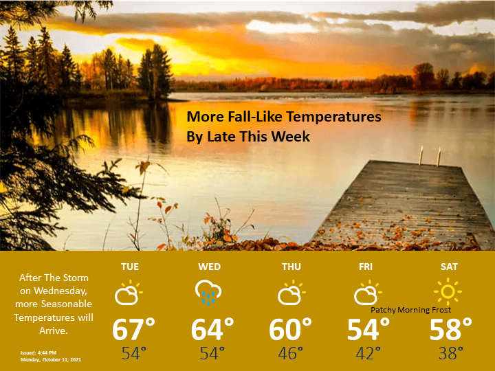
Temperatures the rest of this week will feel more like October.