Significant winter storm, heavy snow potential ahead this weekend

Early forecast models favor heaviest snow in central and northern Minnesota

A woman shovels her driveway during a snowstorm.
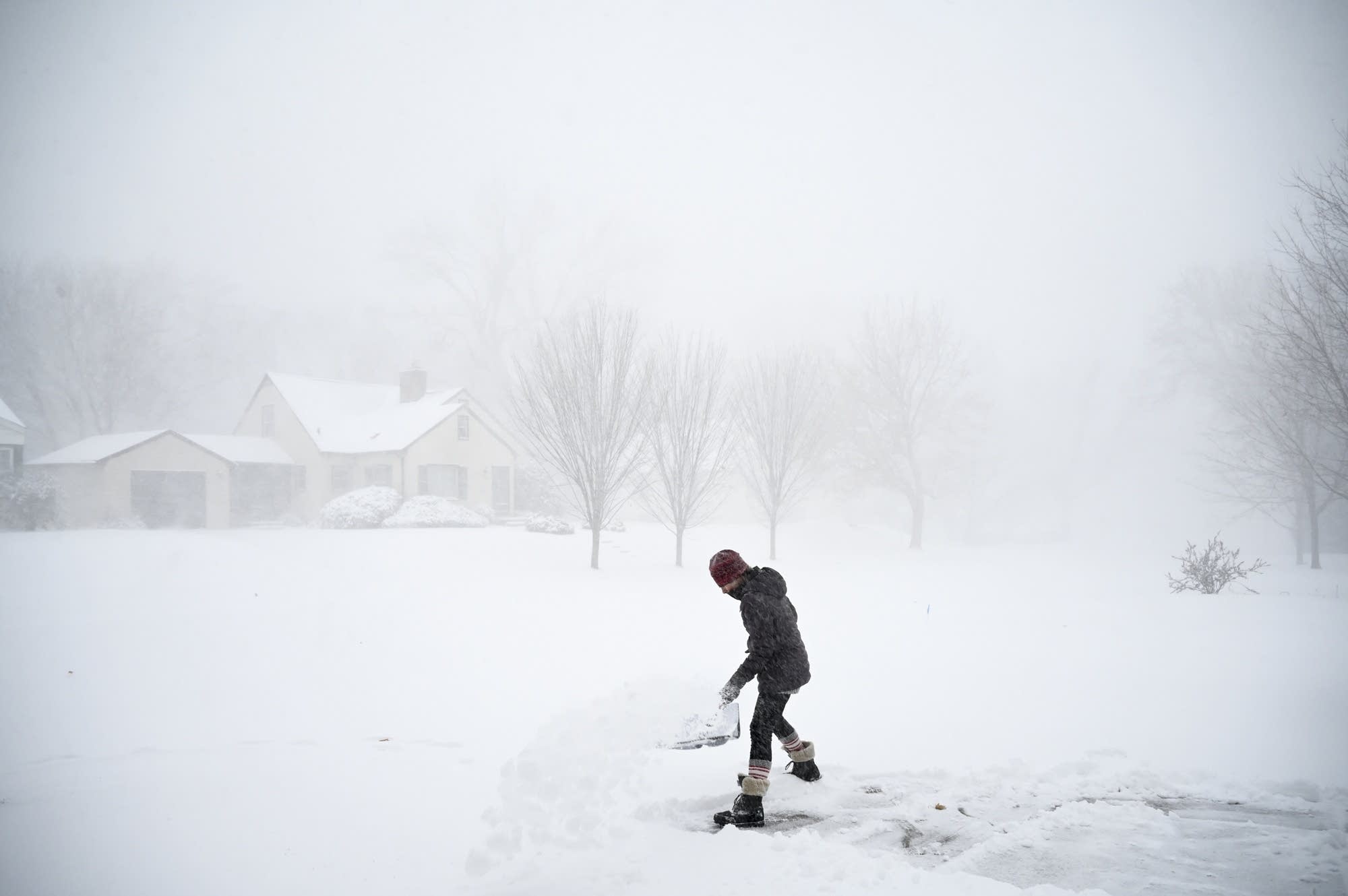
Camilla Cruz, a float nurse at North Memorial Health Hospital, shovels her driveway in December 2020 in Robbinsdale, Minn.
Aaron Lavinsky | Star Tribune via AP file

It looks like the season formerly known as winter is about to deliver a significant snowfall to much of Minnesota this weekend.

Forecast models are grabbing hold of a strong low-pressure system and tracking it into the Upper Midwest this weekend. The majority of forecast solutions currently favor the heaviest snow across central and northern Minnesota. But at least one outlier brings heavier snow further south into the greater Twin Cities area this weekend.

Here’s the early breakdown of what looks like a potentially plowable snow event with significant road impacts for parts of Minnesota this weekend.

The system

Forecast models are grabbing hold of a strong low-pressure system and driving it into the Upper Midwest this weekend. The European and American models track the system through central and southern Minnesota. That storm track would place the heaviest snowfall zone across central and northern Minnesota with the Twin Cities on the less snowy southern edge.

Political Coverage Powered by You

Your gift today creates a more connected Minnesota. MPR News is your trusted resource for election coverage, reporting and breaking news. With your support, MPR News brings accessible, courageous journalism and authentic conversation to everyone - free of paywalls and barriers. Your gift makes a difference.

Here’s a look at the American GFS model forecast storm track this weekend. This is currently the middle storm track solution.

NOAA GFS model Saturday and Sunday
NOAA GFS model between 6 p.m. Saturday and 6 p.m. Sunday.
NOAA via tropical tidbits

It should be noted that the Canadian model tracks the storm center further south through Iowa this weekend. If that track were to verify, it would drag the heavier snow zone south and include the greater Twin Cities area.

Snow looks likely to begin in western Minnesota Saturday morning and spread east through the day. The heaviest snowfall rates likely occur Saturday night into Sunday.

Plowable snow with road impacts

The strength of the weekend system looks likely to bring plowable snowfall totals and significant road impacts across parts of central and northern Minnesota. Most forecast model output currently cranks out a band of 4 to 8 inches in the heavy snowfall zone, with local totals to 10 inches possible favoring the North Shore.

Here’s NOAA’s GFS model snowfall output through Sunday. Under this scenario, the Twin Cities would likely see 1 to 2 inches of snow on the backside of the system Sunday and Sunday night.

NOAA GFS snowfall output
NOAA GFS snowfall output Saturday and Sunday.
NOAA via pivotal weather

Key forecast points

  • Minnesota’s forecast turns decidedly more wintry as we move into the weekend.

  • Snow is likely to start in western Minnesota Saturday morning and spread east through the day.

  • The heaviest snows likely occur Saturday night and Sunday.

  • Most forecast models currently lay the heaviest snowfall band across central and northern Minnesota.

  • There is still a chance the storm track could change and bring heavier snowfall close to on into the Twin Cities.

  • It looks much colder and wintry behind the system, with subzero lows possible in northern Minnesota early next week.

Forecast minimum temps Tuesday morning
Forecast minimum temps Tuesday morning.
NOAA

A significant wintery storm is looking more likely this weekend across central and northern Minnesota. We’ll be watching forecast model runs through Friday for significant changes.

If you are planning to travel this weekend, stay updated on possible forecast changes.