
Arctic blast delivers subzero air once again
Wind chill warnings and advisories posted into Thursday
Go Deeper.
Create an account or log in to save stories.
Like this?
Thanks for liking this story! We have added it to a list of your favorite stories.


The weather maps look a lot like January.
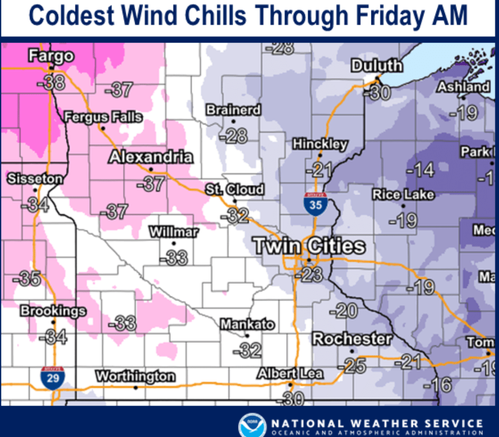
Another arctic outbreak deepens across Minnesota through Friday. Temperatures and wind chills are already plummeting well below zero across our region. Colors we don’t enjoy seeing are growing on the weather maps once again. Check out the dangerous wind chill values across the northern states Wednesday evening.

Wind chill warnings cover much of the Dakotas and northern Minnesota. Wind chill advisories cover the Twin Cities and much of southern Minnesota.
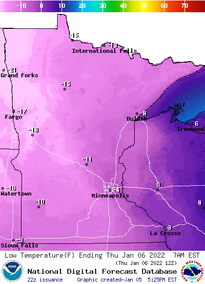
Low temperatures will reach about -5 in the Twin Cities Thursday morning, with minus 20 in northwest Minnesota.
Turn Up Your Support
MPR News helps you turn down the noise and build shared understanding. Turn up your support for this public resource and keep trusted journalism accessible to all.
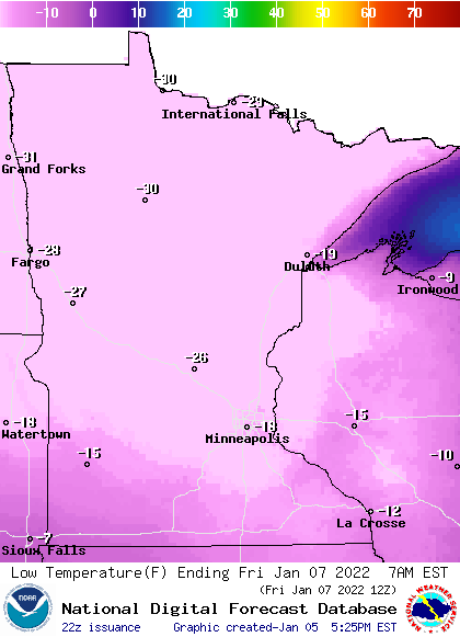
Friday brings the coldest morning of this cold snap. Temperatures will hover around 15 below zero in the Twin Cities Friday morning, with minus 30 up north.
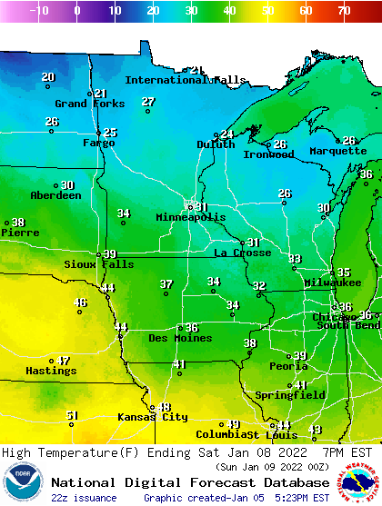
Temperatures moderate Saturday with highs in the 30s for southern Minnesota.
But another cold front sweeps in Sunday, with subzero lows again by Monday morning.
The next six to eight weeks are typically the heart of winter in Minnesota. The weather maps seem to get the hint.

