Thermal whiplash: Rapid temperatures swings continue through Saturday
Temperatures soared 38 degrees Wednesday. Another arctic front brings subzero air Thursday night.
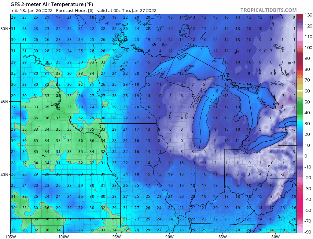
NOAA GFS temperature forecast through Saturday.
NOAA via tropical tidbits
Go Deeper.
Create an account or log in to save stories.
Like this?
Thanks for liking this story! We have added it to a list of your favorite stories.
