
Warmest day since Christmas Eve; colder breezes arrive Wednesday
Significant temperatures swings ahead this week

Go Deeper.
Create an account or log in to save stories.
Like this?
Thanks for liking this story! We have added it to a list of your favorite stories.


Tuesday was the warmest day in nearly six weeks in Minnesota.
Temperatures soared onto the 40s across much of Minnesota Tuesday afternoon. The Twin Cities hit 43 degrees.
That’s 17 degrees warmer than the average for Feb. 8, and just 7 degrees shy of the record high of 50 degrees.
In the snow-free areas of far southwest Minnesota, the mercury hit 52 degrees in Luverne.
Turn Up Your Support
MPR News helps you turn down the noise and build shared understanding. Turn up your support for this public resource and keep trusted journalism accessible to all.
Wednesday cold front
Wednesday brings gusty northwest winds and colder air to Minnesota. The Twin Cities will start the day in the 30s, but temperatures will fall through the 20s across the state Wednesday as colder air gushes southward.
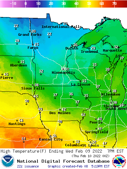
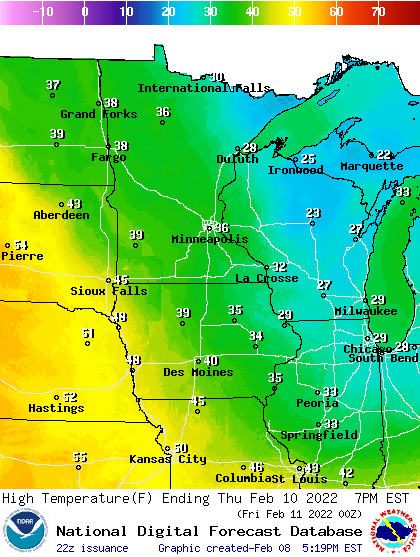
Thursday brings milder air once again. Highs will be above freezing again across southern Minnesota.
Thursday clipper
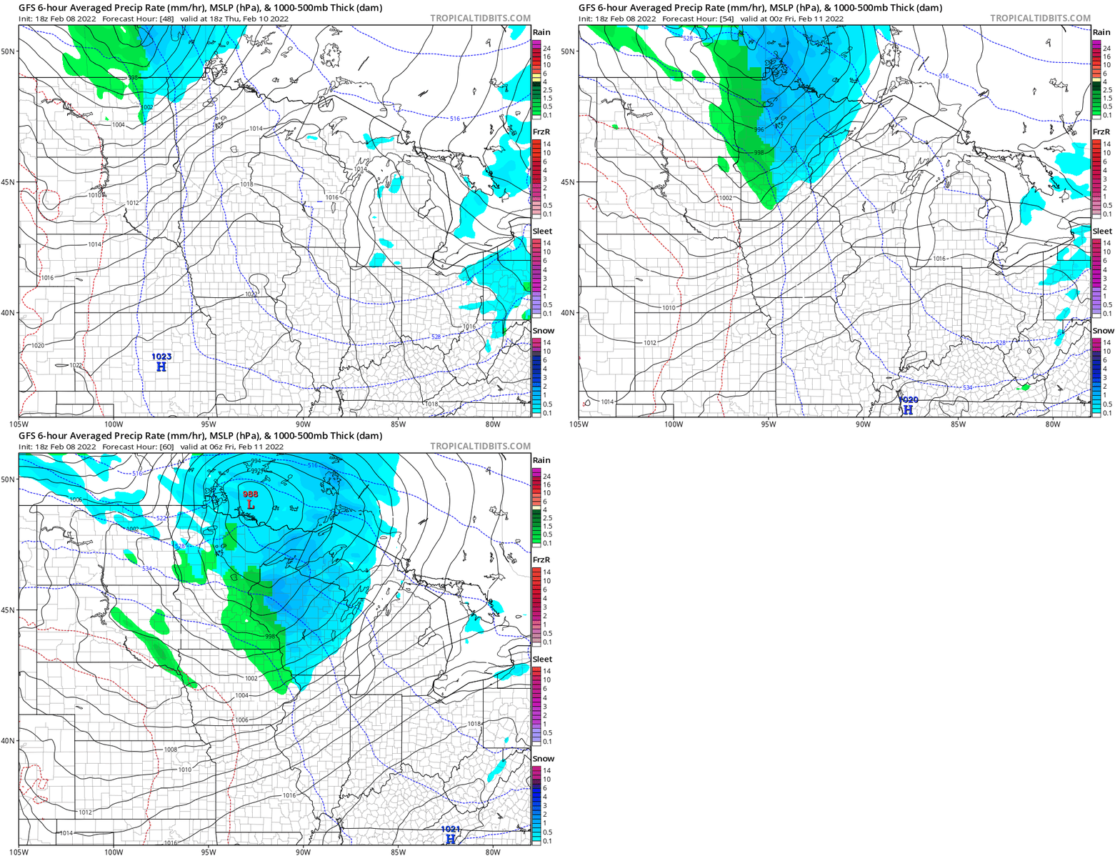
A clipper sails through northern Minnesota Thursday. Snow covers northern Minnesota, with a mix of rain and snow showers in the Twin Cities and much of central and southern Minnesota.
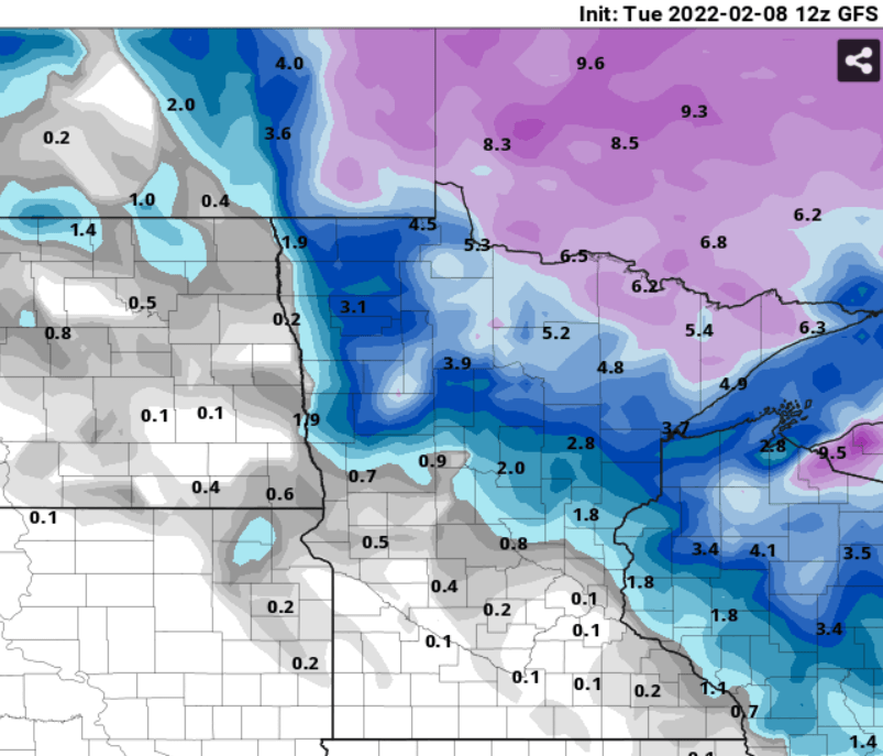
Snowfall totals across far northern Minnesota could reach 3 to 6 inches. Most of northern and central Minnesota will pick up 1 to 3 inches.
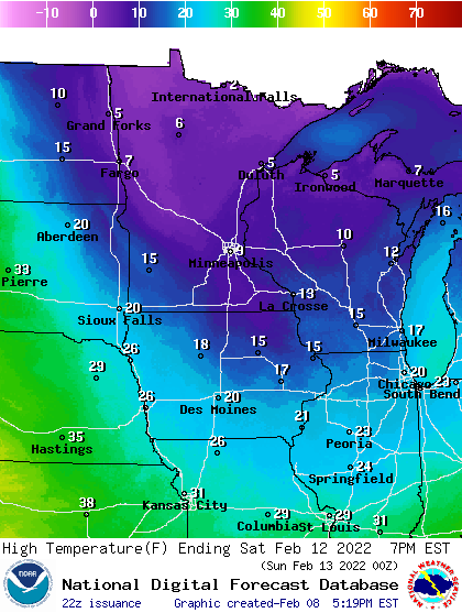
Behind the system, an arctic air mass blows into Minnesota Friday and Saturday. Lows Saturday morning could reach 30 below zero up north, with lows near zero in the Twin Cities. Highs Saturday hover in the single digits north and teens in southern Minnesota.
Sunday looks like a great winter day, with a high in the upper 20s to around 30 degrees in the Twin Cities.

