
More winter than spring this week, 50s in sight?
A cold week gives way to a milder pattern next week.

Go Deeper.
Create an account or log in to save stories.
Like this?
Thanks for liking this story! We have added it to a list of your favorite stories.


Meteorological spring is here, but atmospheric winter is still in charge of the air mass over Minnesota this week.
Our weather looks quiet this week, but cold. There may be a few minor snow showers Tuesday and Friday, otherwise little precipitation is expected this week.
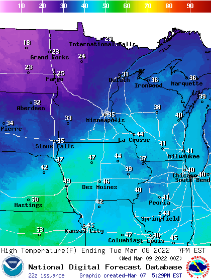
Tuesday looks like the warmest day this week. Highs will make the 30s across southern Minnesota, with 20s in the north.
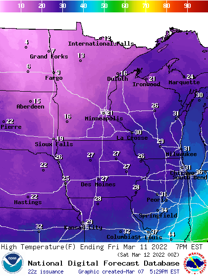
Our next cold front sweeping south pushes yet one more frigid Canadian air mass over Minnesota Wednesday into Saturday. High temperatures Wednesday through Saturday will hover in the lower 20s across southern Minnesota with teens up north.
Turn Up Your Support
MPR News helps you turn down the noise and build shared understanding. Turn up your support for this public resource and keep trusted journalism accessible to all.
Overnight lows will dip below zero once again cross most of northern Minnesota this week. This March is slightly reminiscent of those classic Die Hard battery commercials of the 1970s.
Pattern change next week
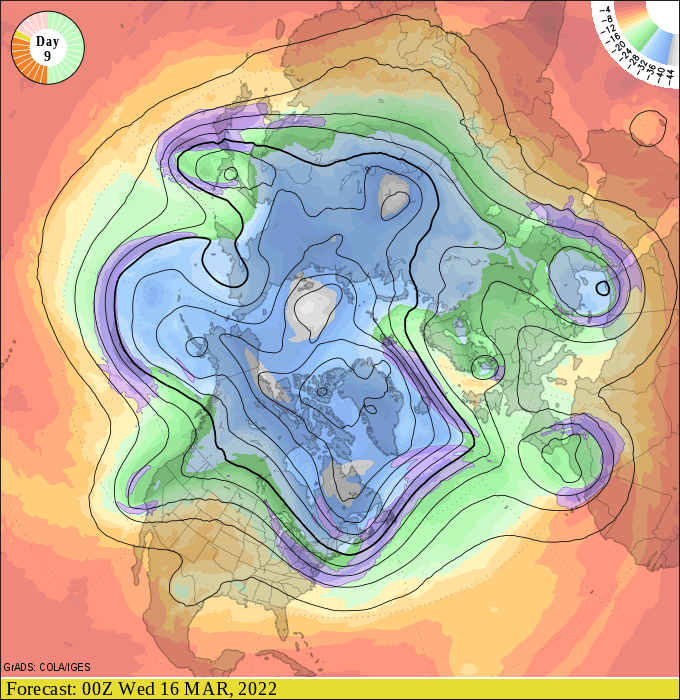
The upper air forecast strongly suggests a pattern change that will push a more westerly Pacific flow into Minnesota by early next week.
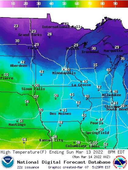
That should push temperatures into the 40s across southern Minnesota as early as Sunday.
The longer-range forecasts suggest an even milder push of air the following week, with a growing chance of 50s in the March 19-21 time frame.
This could be the shift we’re looking for that could finally signal the start of more consistent springlike weather in Minnesota.
Stay tuned.

