
Rain and snow again Wednesday; first 70s for MSP Saturday?
Heavy snow for the North Shore region again Wednesday.
Go Deeper.
Create an account or log in to save stories.
Like this?
Thanks for liking this story! We have added it to a list of your favorite stories.


Well, it was nice to see the sun Tuesday!
Our next weather system brings more rain and snow to Minnesota on Wednesday. This is the fifth straight Wednesday with precipitation in the Twin Cities and most of Minnesota.
This week’s system is a little warmer, which means rain for the Twin Cities and southern Minnesota. But the freezing mark will hover along a Fargo-Duluth zone Wednesday and that means more snow for the northern third of Minnesota.
The system
Turn Up Your Support
MPR News helps you turn down the noise and build shared understanding. Turn up your support for this public resource and keep trusted journalism accessible to all.
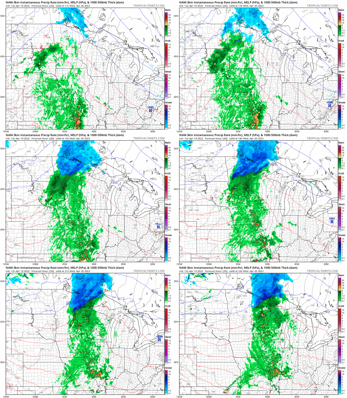
Say hello to our next system. NOAA’s NAM 3 km resolution model tracks rain across central and southern Minnesota, with snow generally north of a Brainerd to Duluth line. The loop below runs between 6 a.m. and 6 p.m. Wednesday.
Heavy snow up north
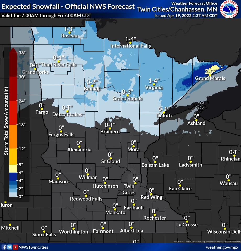
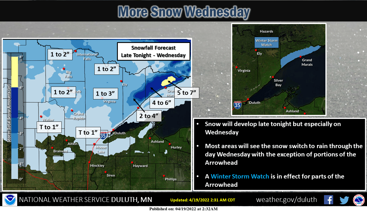
Northern Minnesota picks up yet another coating of April snow Wednesday. Most of north Minnesota will see lighter accumulating snow. The heaviest snowfall totals focus once again on the North Shore region.
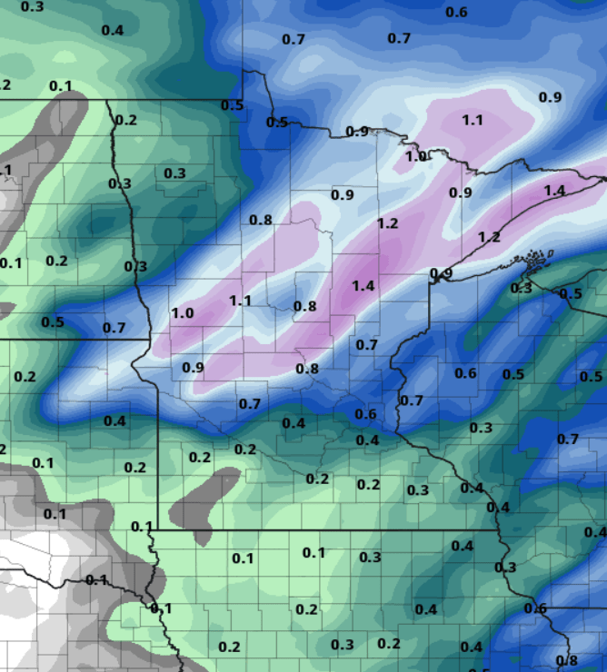
NOAA’s GFS model puts down about .50” rainfall around the greater Twin Cities. More than an inch of liquid equivalent precipitation looks likely again across much of northern Minnesota with Wednesday’s system.
First 70s Saturday?
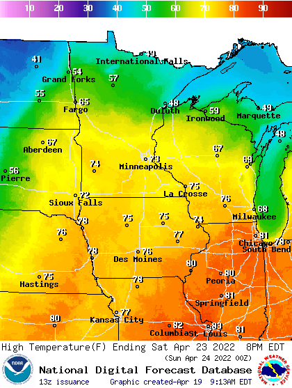
If the timing works out right, it appears we’ll see our first 70s of the season in the Twin Cities and much of southern Minnesota Saturday afternoon.
The warmer temperatures may come with a side of scattered showers and thunderstorms. Dew points should reach the semi-humid 60-degree mark Saturday.

