Wednesday soaker: Here's the latest on rain timing, totals, coverage

Southern Minnesota could pick up an inch of rain Wednesday.

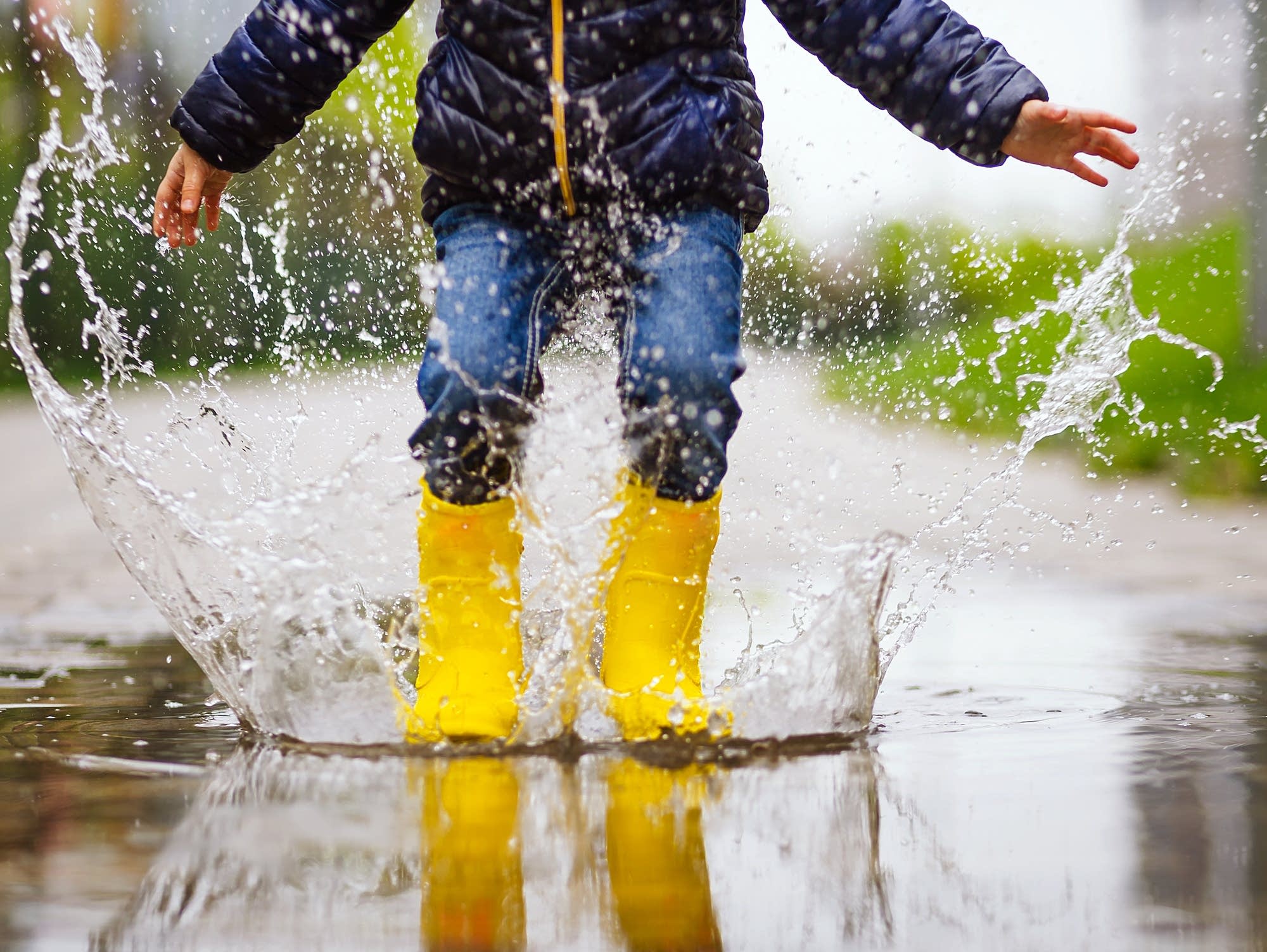
Rainy day puddle jumping
Oleg_Ermak/Getty Images/iStockphoto

Timing is everything in life. And weather.

When people find out about what I do for a living, they usually jest I’m the one who controls the weather. If we could control the weather, my guess is most people would favor scheduling our rain during the week, with beautiful weekends. That just might work out this week.

Wednesday brings a soaker that favors the heaviest rainfall in eastern Minnesota. A low-pressure system dragging Gulf of Mexico moisture in tow tracks from Iowa to Wisconsin Wednesday. That’s a perfect track for heavy snow in winter, and (thankfully) soaking rains in spring.

Rain is moving northward through Iowa Tuesday. Rain spreads across southern Minnesota through midnight and likely spreads north into the Twin Cities between about 4 a.m. and 6 a.m. Wednesday.

Create a More Connected Minnesota

MPR News is your trusted resource for the news you need. With your support, MPR News brings accessible, courageous journalism and authentic conversation to everyone - free of paywalls and barriers. Your gift makes a difference.

The National Oceanic and Atmospheric Administration’s Global Forecast System model tracks the trend of periods of rain through Wednesday. The heaviest rainfall should favor the later morning and midday hours Wednesday for the Twin Cities.

NOAA GFS model Thursday
Expected rainfall between midnight and 6 p.m. Thursday.
NOAA GFS model, via Tropical tdibits

Forecast models favor the heaviest rainfall in Iowa and southeastern Minnesota where 1 to 2 inches could fall. For the Twin Cities, the most likely range is between one-half and 1 inch. Central Minnesota looks likely to pick up around one-quarter inch with little or no rainfall as you move into northwest Minnesota.

Here’s the European Centre for Medium-Range Weather Forecasts model rainfall output by 7 a.m. Thursday morning.

European model (ECMWF) precipitation output
Precipitation output by 7 a.m. Thursday
European Centre for Medium-Range Weather Forecasts, via Pivotal Weather

The cool rain will keep temperatures in the 50s across most of Minnesota Wednesday. Brighter skies will allow temperatures to climb into the 60s in northwestern Minnesota.

Forecast high temperatures Wednesday
Forecast high temperatures Wednesday.
NOAA

There are no severe weather risk areas for Minnesota Wednesday.