
Scattered showers through this evening; then sunnier and warmer later this week
Mostly light showers through Tuesday evening.
Go Deeper.
Create an account or log in to save stories.
Like this?
Thanks for liking this story! We have added it to a list of your favorite stories.


A weak weather system crossing Minnesota is spawning a few showers through Tuesday evening. Scattered showers are moving toward the east. The rain is mostly on the light side.
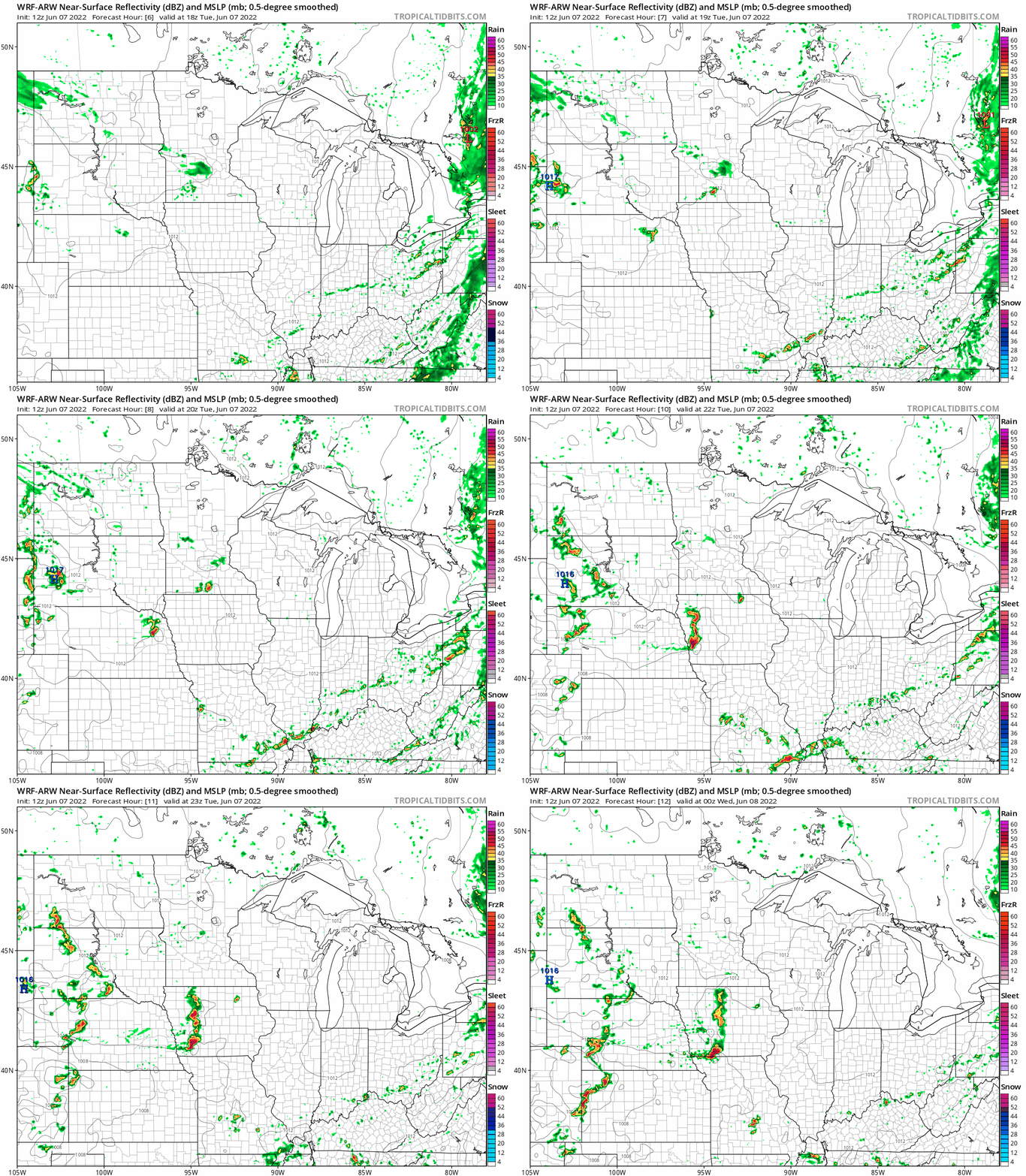
NOAA’s WRF model gives you the idea of a few radar blips near the Twin Cities, and the possibility of stronger storms near the Iowa border into Iowa.
NOAA’s Storm Prediction Center paints a marginal (low) risk that a couple of storms could be severe along the I-90 corridor southward into Iowa through this evening.

Warmer days this week
Clouds in southern Minnesota are keeping temperatures mostly in the 60s today. But more sunshine ahead from Wednesday through Friday will help boost temperatures this week. Highs will reach well into the 70s across most of Minnesota.

Other than an isolated shower chance Wednesday, our weather looks basically dry and pleasant Wednesday through Friday.
Turn Up Your Support
MPR News helps you turn down the noise and build shared understanding. Turn up your support for this public resource and keep trusted journalism accessible to all.

