
Dog Days: A string of 90s and a shot at 100 degrees next week.
Dakotas and western Minnesota likely to hit 100 degrees.
Go Deeper.
Create an account or log in to save stories.
Like this?
Thanks for liking this story! We have added it to a list of your favorite stories.


The Dog Days of Summer are here.
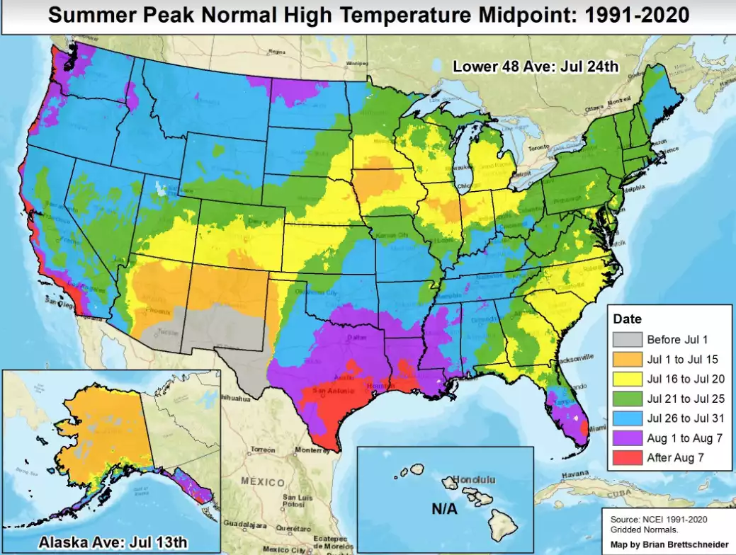
The Ancient Greeks thought the bright star Sirius near the sun added heat to the earth this time of year. They may have missed the link, but they got the timing right. We’re now in what are typically the 2 hottest weeks of the year in Minnesota and most of the northern hemisphere.
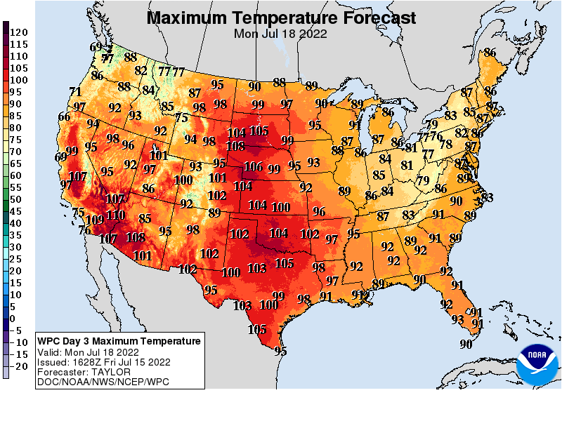
Next week’s heat wave will be both intense and persistent. We could see a string of days in the 90s. Some forecast models crank out 8 of 10 days in the 90s for the Twin Cities strating Sunday.
NOAA’s models crank out 95 degrees for the Twin Cities by Monday afternoon.
Turn Up Your Support
MPR News helps you turn down the noise and build shared understanding. Turn up your support for this public resource and keep trusted journalism accessible to all.
Temperatures at or above 100 degrees are likely for South Dakota and western Minnesota. NOAA’s GFS model is among the most aggressive with 100-degree temperatures across much of southern Minnesota and close to the Twin Cities.

Expect heat advisories and excessive heat warnings to be issued this weekend for next week.
The heat wave pattern also offers little promise of needed rainfall in the next week to 10 days. Some lucky areas north and south of the Twin Cities picked up welcome rainfall overnight into Friday morning. Unfortunately, most of the Twin Cities missed out on significant rainfall.

Stay cool Minnesota.

