
Scattered rain and thunder today; marginal severe risk
Locally beneficial rainfall. A few cells could produce gusty winds and hail.

Go Deeper.
Create an account or log in to save stories.
Like this?
Thanks for liking this story! We have added it to a list of your favorite stories.


It’s rainfall bingo across Minnesota Tuesday. Much of our state needs rain. And many places will get some light rain today. A few lucky spots may get a decent soaking.
NOAA’s HRRR model rainfall output shows the patchwork nature of possible rainfall today.

A cool front crossing Minnesota today is the feature that will drive scattered rain and a few thunderstorms. Coverage will be scattered, but a few storms could be strong to marginally severe.
NOAA’s HRRR model shows the trend of a scattered line of showers and thunderstorms drifting southeast across Minnesota today.
Turn Up Your Support
MPR News helps you turn down the noise and build shared understanding. Turn up your support for this public resource and keep trusted journalism accessible to all.
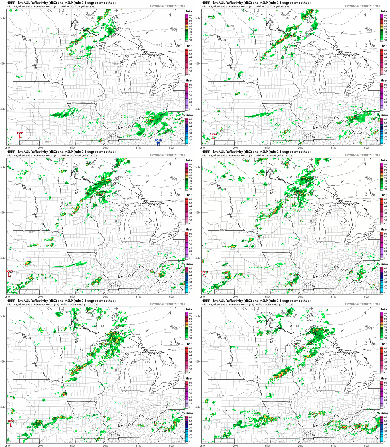
The Twin Cities may see a few showers through the afternoon hours. But the best chance for a local downpour favors the evening hours tonight.
Marginal severe risk
A couple of cells could approach severe limits (58 mph winds and 1” diameter hail) this afternoon and evening. NOAA’s Storm Prediction Center has a marginal risk for southwest Minnesota and the southwest parts of the greater Twin Cities area.
In these situations, NOAA’s Storm Prediction Center usually does not issue a severe weather watch. But local NWS offices may issue a warning for localized cells if they reach severe limits.
Keep an eye out for that into this evening. And hopefully, a few of us will get a decent rainfall soaking tonight. But again coverage looks spotty.
Stay tuned.

