
Summer's not done yet. Intense heat returns next week.
Another run of 90s ahead. It could hit 100 degrees in parts of Minnesota next week.
Go Deeper.
Create an account or log in to save stories.
Like this?
Thanks for liking this story! We have added it to a list of your favorite stories.


August starts Monday. How did that happen exactly?
This year August is coming in like an overheated lion on the weather maps. The persistent heat dome that’s been bringing searing 100-degree heat to the Southern Plains is ready to nudge north toward Minnesota next week.
Thursday’s national temperature map shows the heat dome across Texas and Oklahoma, and the comfortable air mass across Minnesota and the Upper Midwest.

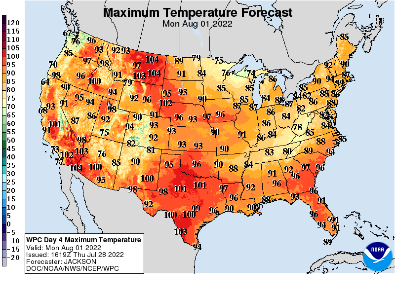
By Monday, the core of the heat shifts north. Highs will surge through 100 degrees as far north as eastern Montana.
Turn Up Your Support
MPR News helps you turn down the noise and build shared understanding. Turn up your support for this public resource and keep trusted journalism accessible to all.
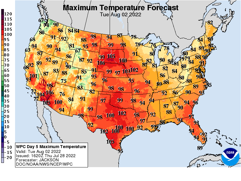
By Tuesday the 90-degree zone invades Minnesota with 100 degrees on our western border.
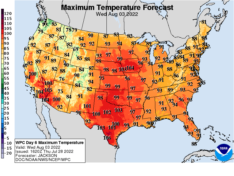
Peak heat next week likely arrives Wednesday. Highs look likely to reach the mid to upper 90s in the Twin Cities, with 100-degree temperatures possible in western Minnesota.
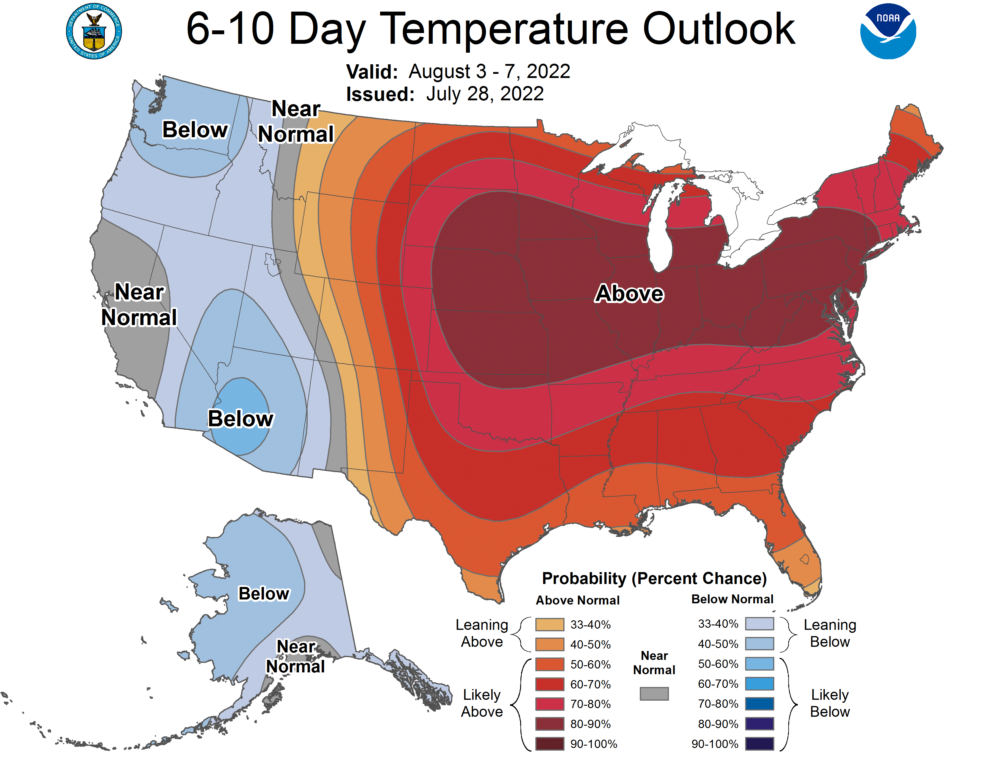
Thursday looks a bit less hot, but early indications are we may stay in the 90s through next Friday.
So far we’ve endured 14 days of 90-degree or hotter temperatures in the Twin Cities this year. 13 is average for the entire year. We’re likely to add three or four additional 90-degree days next week. And the Minnesota State Fair starts four weeks from today. That’s usually good for a couple more 90-degree days.

Stay tuned.

