
Cooler, less humid Wednesday as extreme heat ebbs
Warmer-than-average temps persist into next week

Go Deeper.
Create an account or log in to save stories.
Like this?
Thanks for liking this story! We have added it to a list of your favorite stories.


Yes, our summers can be hot. But there is one reason why it’s great to live as far north as Minnesota: occasional cool fronts courtesy of Canada.
Tuesday was the 15th day of 90-degree heat this year.
But Minnesota often sees cool fronts pushing south from Canada in summer. They’re not typically the bracing breezes we feel in late September or October. But these weaker summer fronts usually knock 5 to 10 degrees off the thermometer and as much as 20 degrees off the dew point value.
Case in point.
Turn Up Your Support
MPR News helps you turn down the noise and build shared understanding. Turn up your support for this public resource and keep trusted journalism accessible to all.
I saw heat index values as high as 111 degrees in Hutchinson, west of Minneapolis, Tuesday afternoon. Take a look at these heat index readings from around southern Minnesota. Granite Falls hit 110. Eden Prairie 106.

And dew points hit the 70s across southern Minnesota Tuesday. I saw a dew point of 79 degrees at Hutchinson.
Now watch the dew point trends as a much drier air mass sweeps into Minnesota behind Wednesday's cool front. Dew points will plunge into the 50s.
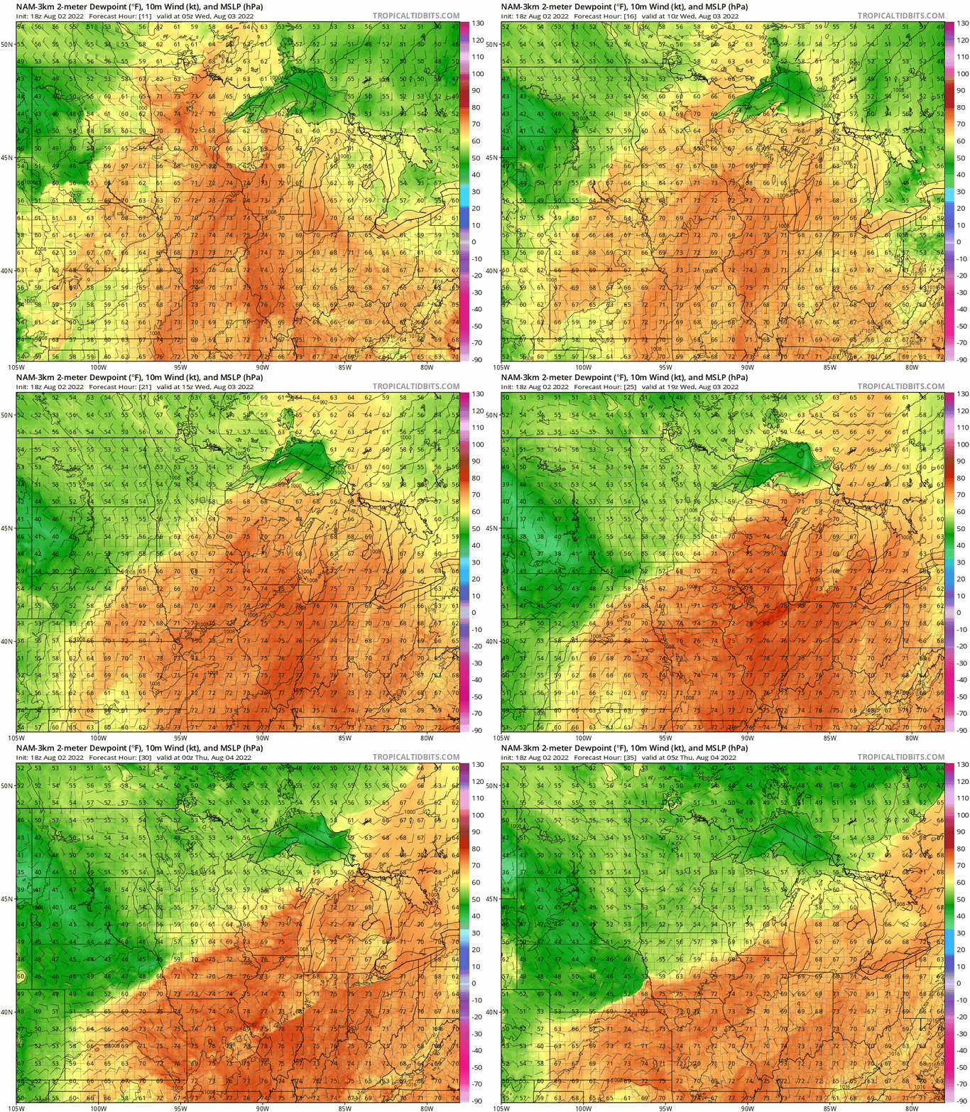
Wednesday’s air mass will produce highs in the upper 80s in southern Minnesota, but comfortable 70s will be the rule up north.

Thursday brings another comfortable summer day.
Highs hit 90 again by Friday in southern and western Minnesota. It looks like we could add another 90-degree day or two next week.
Stay tuned.

