
Tracking spotty thunderstorm chances Wednesday and this weekend
A few scattered storms could pop up Wednesday and again next weekend.

Go Deeper.
Create an account or log in to save stories.
Like this?
Thanks for liking this story! We have added it to a list of your favorite stories.


We’re tracking forecast models, satellites, and radars for our next rain chances around Minnesota.
A few scattered showers and thunderstorms are roaming northern Minnesota through the overnight hours.
The scattered rains are driven by a weak low-pressure system that will cross Minnesota Wednesday. NOAA’s WRF model picks up on the notion of scattered thundershowers in northern Minnesota early Wednesday, and additional cells developing across central and southern Minnesota Wednesday afternoon. The 12-hour forecast loop below runs between 7 a.m. and 7 p.m. Wednesday.
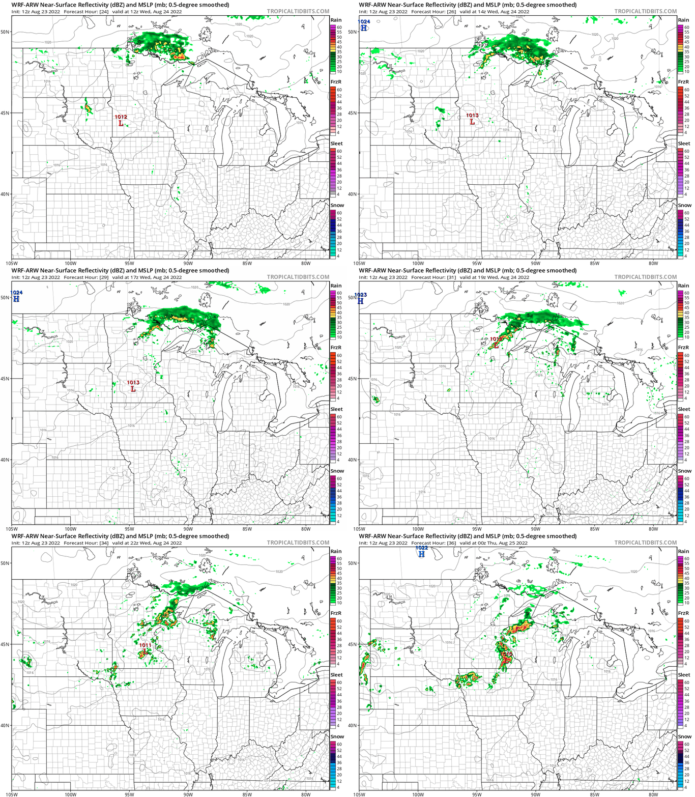
High temperatures will once again run mostly in the lower 80s across most of Minnesota Wednesday.
Turn Up Your Support
MPR News helps you turn down the noise and build shared understanding. Turn up your support for this public resource and keep trusted journalism accessible to all.

State Fair weather
The opening days of the 2022 Minnesota State Fair look pretty typical. Expect a mix of sun and clouds, warm temperatures and a few scattered showers and thunderstorms possible during the opening weekend.
Right now, the most likely chance for rainfall appears to favor late Saturday into Sunday.
We don’t take model output placement for localized summer rain literally this far out, but NOAA’s GFS model gives you the idea of spotty rain and thunder between 7 p.m. Friday and 7 p.m. Saturday.
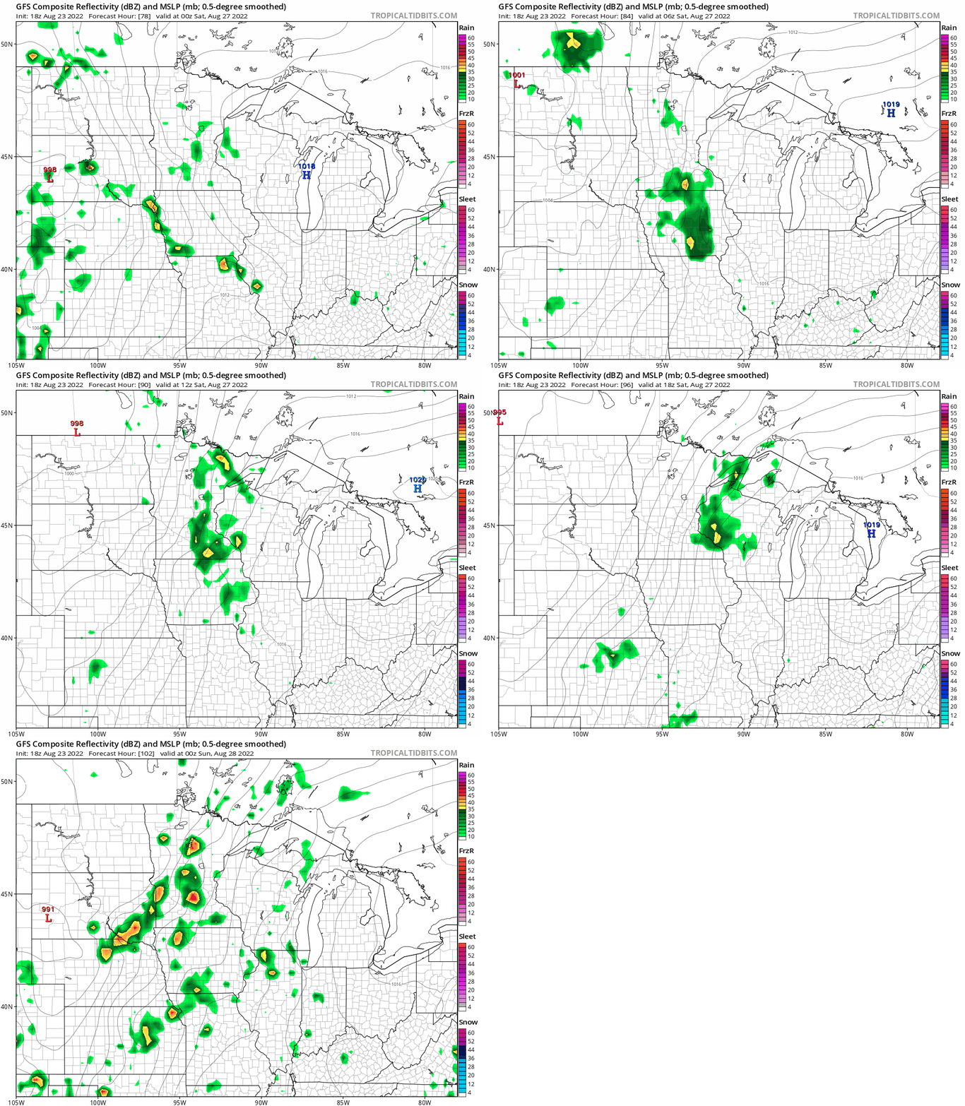
Highs this weekend will be in the 80s again across most of Minnesota.

Humidity will creep up with dew points rising well into the 60s this weekend.

