
Cooler Thursday; storms possible this weekend
Dropping dew points and decreasing clouds Thursday

Go Deeper.
Create an account or log in to save stories.
Like this?
Thanks for liking this story! We have added it to a list of your favorite stories.


Highs will be mainly in the 70s Thursday with more comfortable air settling in and decreasing clouds north to south. Friday will bring lots of sun but more storms are possible this weekend.
Cooler, drier air moving in Thursday
Cooler and drier air is in flowing in across Minnesota Thursday behind Wednesday’s disturbance. Temperatures will be in the 70s statewide for highs with more comfortable dew points settling in by afternoon.

We’ll see clouds decrease through the day in central and southern Minnesota. Friday will be sunnier and a few degrees warmer as high pressure parks over Minnesota for one day.
More storms possible this weekend then hotter?
The atmosphere becomes unsettled once again over the weekend with some storms possible Friday night in western Minnesota and perhaps early Saturday in the eastern part of the state. The chance increases Saturday night and Sunday.
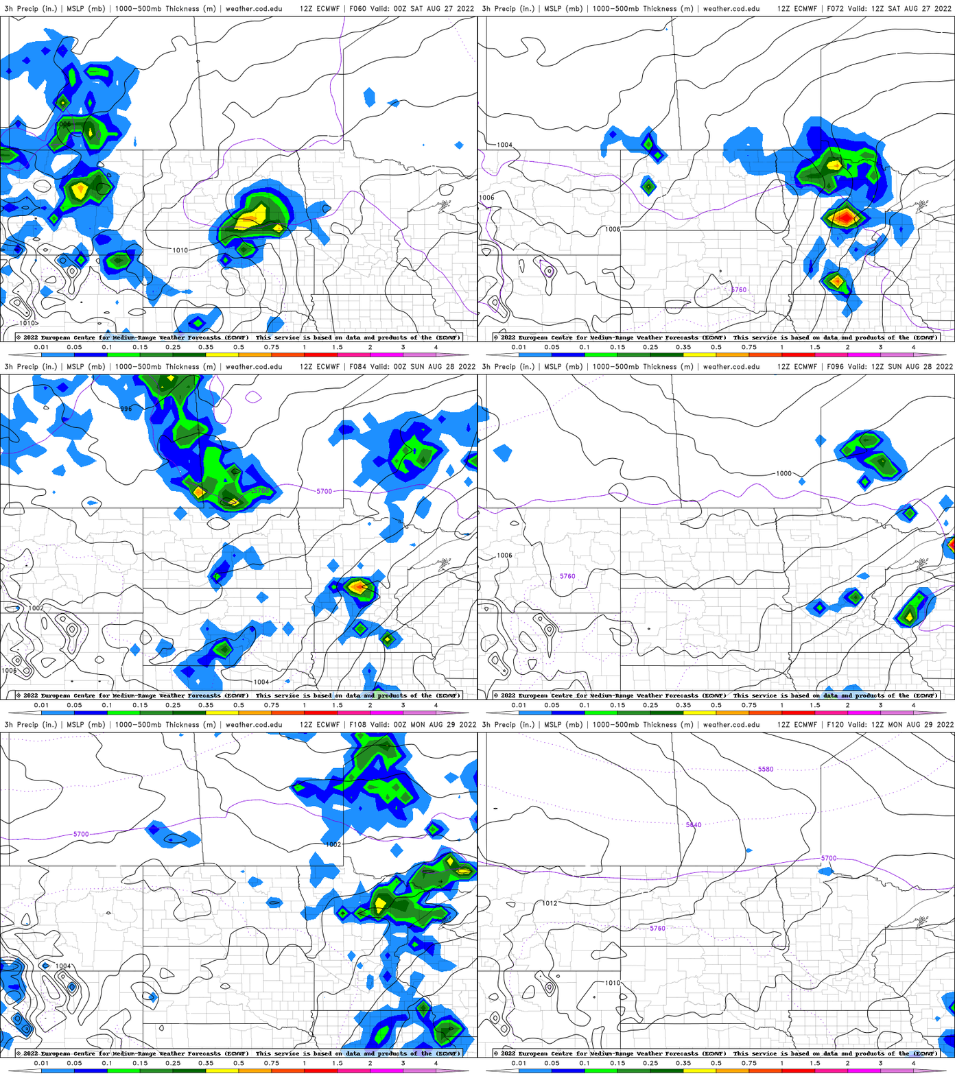
With more rain and storms possible this weekend, check out our new interactive radar:
You can zoom, pan and look at ‘future radar.’
It could be getting a bit more steamy again Sunday into early next week with muggy air returning and at least some models pushing temperatures to 90.
Turn Up Your Support
MPR News helps you turn down the noise and build shared understanding. Turn up your support for this public resource and keep trusted journalism accessible to all.

