
Scattered showers Friday, muggy through the weekend
Hot start, cool end to next week

Go Deeper.
Create an account or log in to save stories.
Like this?
Thanks for liking this story! We have added it to a list of your favorite stories.


We have showers continuing in northern Minnesota with more storms possible in southern Minnesota late Friday afternoon. Another round of thunderstorms is possible late Saturday afternoon into the overnight.
Rounds of showers Friday and Saturday
Most showers are in central and northern Minnesota Friday morning. We’ll see more thunderstorms develop in south-central Minnesota late Friday afternoon into evening with scattered showers into the overnight.
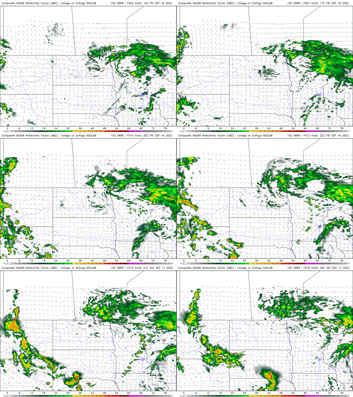
A flood watch persists through 10 p.m. Friday into northeastern Minnesota.

Up to 2 to 4 inches of rain has already fallen for some areas, according to radar estimates.
Turn Up Your Support
MPR News helps you turn down the noise and build shared understanding. Turn up your support for this public resource and keep trusted journalism accessible to all.

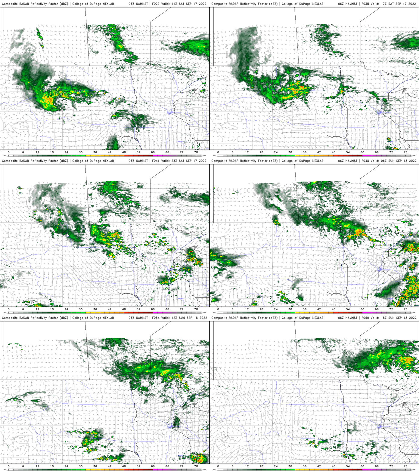
More showers and thunderstorms are possible again, especially late Saturday afternoon into the evening and overnight Saturday.
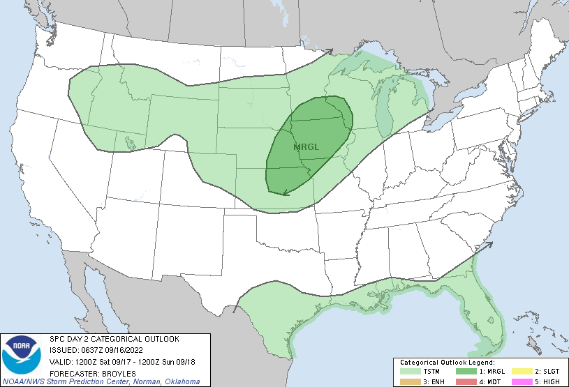
There’s a marginal risk of severe weather (level 1 out of 5) late Saturday. One or two storms could turn strong or severe.
Sunday should be mainly dry with skies partially clearing out.
Hot start, cool end to next week
Summer temperatures and sunshine will be with us for the early part of next week. Highs Monday and Tuesday will be well into the 80s. Some places could be near 90 degrees Tuesday in southwestern Minnesota.

A much anticipated blast of cool, fall air arrives midweek though. Highs will be in the 60s Thursday and Friday south and just 50s north.


