
A bright and unusually warm Sunday
Dry weather lingers
Go Deeper.
Create an account or log in to save stories.
Like this?
Thanks for liking this story! We have added it to a list of your favorite stories.


This will be a pleasant final Sunday of October.
The Twin Cities metro area and much of Minnesota, plus west-central and northwestern Wisconsin, will have plenty of sunshine. A low-pressure system in southeastern Missouri will spin some clouds over southeastern Minnesota as it tracks slowly northeastward during the day Sunday.
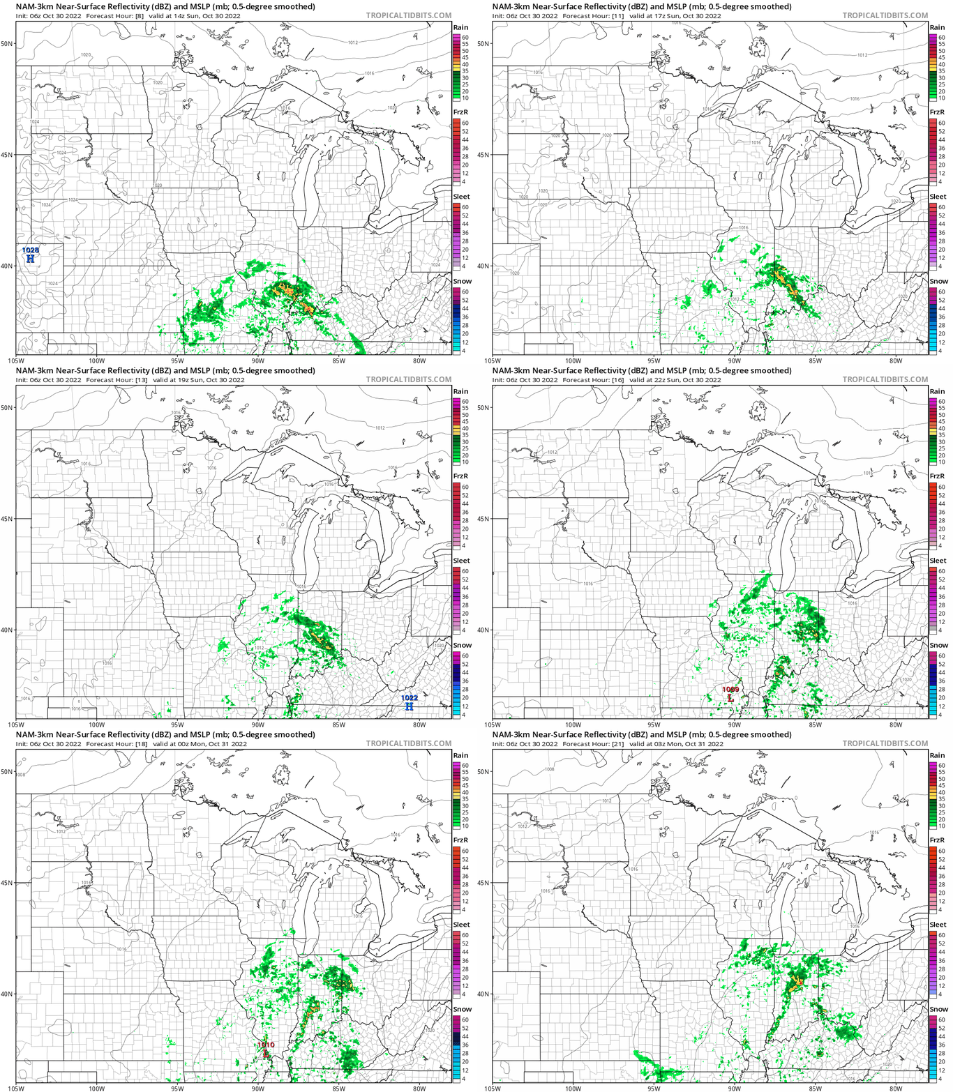
The rain from that system won’t make it to Minnesota. The National Oceanic and Atmospheric Administration’s North American Mesoscale (NAM) forecast model shows rain staying well off to the southeast Sunday and Sunday evening:
We have updated weather information for Minnesota and western Wisconsin on the Minnesota Public Radio News network, and on the MPR News live weather blog.
Turn Up Your Support
MPR News helps you turn down the noise and build shared understanding. Turn up your support for this public resource and keep trusted journalism accessible to all.
Warm temps again
Our average Twin Cities high is 51 degrees this time of year. Metro area highs are forecast to reach the low to mid-60s Sunday afternoon. Highs in the 60s are expected in roughly the southern half of Minnesota, with 50s to the north:

Afternoon wind gusts will be 12 mph or less in most areas, but a bit higher in northeastern Minnesota:

Forecast wind gusts are in knots, with 10 knots equal to 11.5 mph.
Update
A new Updraft blog will be posted around 10:20 a.m., and it will include a look at the warm week ahead.
Programming note
You can hear my live weather updates on MPR News at 7:35 a.m., 9:35 a.m. and 4:39 p.m. Saturday and Sunday.

