Messy rain-snow system on track Thursday through Friday night

Rain, thunder, some snow ahead; models still working out storm track

NOAA GFS model
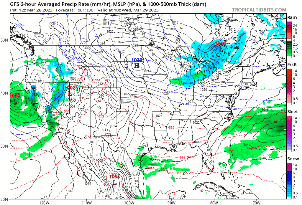
Global Forecast System model Tuesday into Friday
National Oceanic and Atmospheric Admininstration, via Tropical Tidbits

The weather maps keep on giving this year.

Another pretty impressive storm system is winding up and heading for Minnesota late this week. This one looks likely to bring a mix of rain and snow with a possible side of thunder.

The forecast models still differ as to the precise storm track and temperature profiles — who gets rain, who gets snow and when.

Here’s what we know so far.

Create a More Connected Minnesota

MPR News is your trusted resource for the news you need. With your support, MPR News brings accessible, courageous journalism and authentic conversation to everyone - free of paywalls and barriers. Your gift makes a difference.

The system

This is another storm system courtesy of California by way of Colorado. We can track it slamming into California Tuesday then riding over the Rockies into Thursday before making a beeline for the Upper Midwest and Minnesota Friday. (see loop above)

It’s still too early to be precise about likely rain and snow timing and coverage.

A closer look at the Upper Midwest from the Canadian model shows a trend toward mostly rain for the Twin Cities and southern Minnesota Thursday into Friday, with a potential shot of snow as the system sweeps by through Friday night. There may also be a little thunder with this system.

Canadian model
Canadian model 7 p.m. Thursday to 7 a.m. Saturday
Environment Canada, via Tropical Tidbits

Snowfall potential

We’re still likely about 72 hours away from the bulk of accumulating snow potential, so the early forecast model snowfall total output still varies widely and is in the low confidence range. But there is a decent chance of wet snow Friday night across parts of Minnesota.

Milder days ahead

Most forecast models are sliding milder air into starting Minnesota next week. The degree of warming is variable. Right now highs around 50 look quite possible for the Twin Cities and southeastern Minnesota early next week.

Forecast high temperatures Sunday
NOAA

Stay tuned.