
Gradually milder this week; 60s by Thursday
Spotty shower chances Thursday into the weekend

Go Deeper.
Create an account or log in to save stories.
Like this?
Thanks for liking this story! We have added it to a list of your favorite stories.


It’s nice to see the sun.
Tuesday afternoon’s lighter winds and potent sunshine are making it feel better out there. High temperatures will hover in the low 50s across southern Minnesota with 40s up north.

Overnight lows Wednesday morning will dip below freezing again across most of Minnesota. It’s still not safe in most places to plant those tender annuals.

The average date of the last 32 degrees in the Twin Cities is about April 25. There’s a 90-percent chance the last 32-degree temperature of spring occurs on average by May 10. That’s a much safer date to plant, but this year's cold has lingered.
Turn Up Your Support
MPR News helps you turn down the noise and build shared understanding. Turn up your support for this public resource and keep trusted journalism accessible to all.
Highs Wednesday will push toward the 60-degree mark in southern Minnesota.

By Thursday, much of central and southern Minnesota will be in the 60s.
Shower chances return Thursday
We’re finally enjoying a few dry days around most of Minnesota.
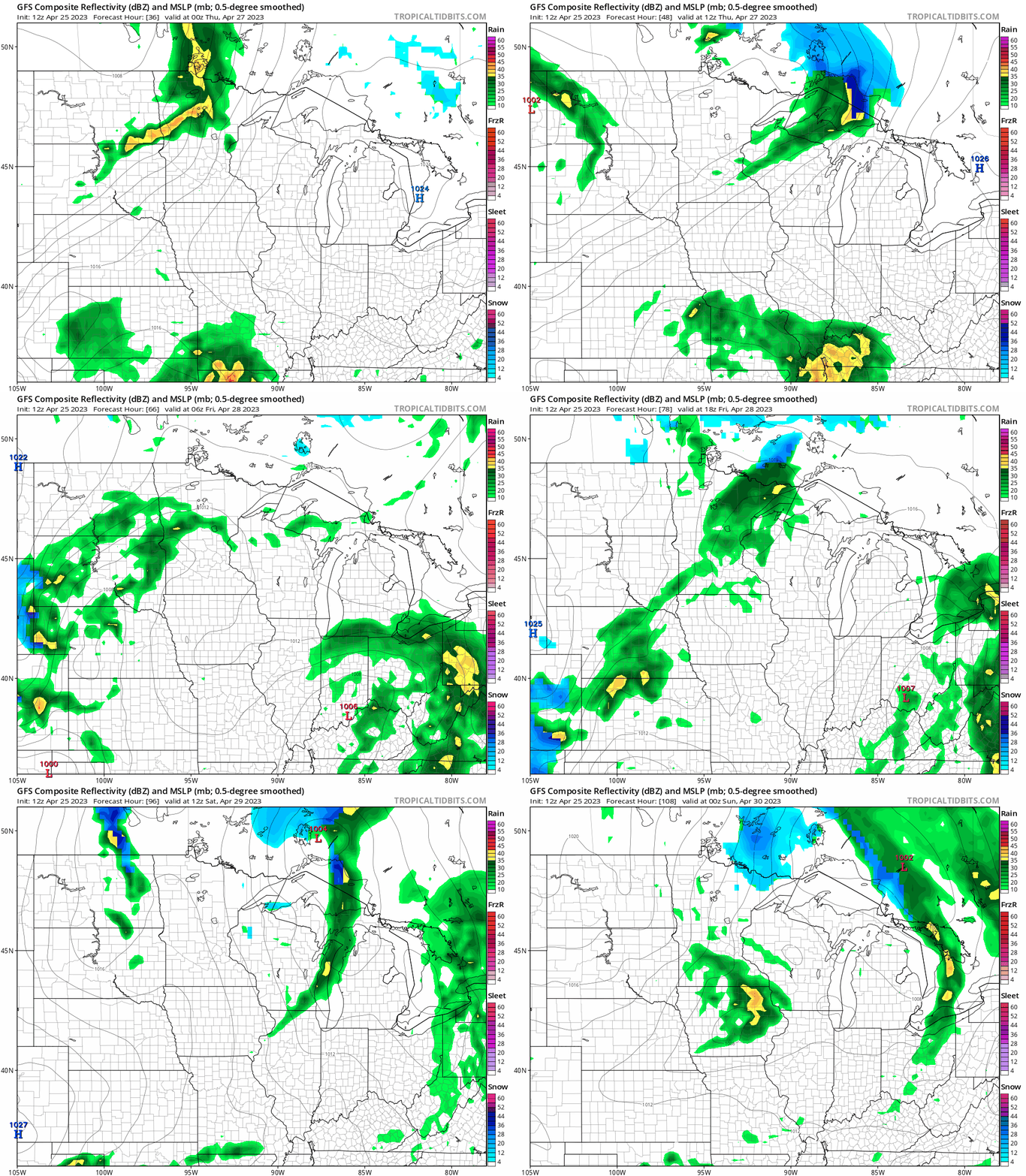
The next low-pressure wave will produce scattered showers starting Wednesday night across northern and central Minnesota. Spotty, occasional shower bands will sweep through Minnesota between Thursday and Saturday. It doesn’t look like an all-day washout.
The National Oceanic and Atmospheric Administration’s Global Forecast System model gives you the notion of occasional spotty shower waves. The loop below runs between 7 p.m. Wednesday and 7 p.m. Saturday.
Some medium-range forecast models are hinting at 70s again in about two weeks. Stay tuned.

