
Spotty showers this week; next week looks warmer
60s, 70s forecast across Minnesota by late next week

Go Deeper.
Create an account or log in to save stories.
Like this?
Thanks for liking this story! We have added it to a list of your favorite stories.


The forecast maps are finally hinting at some warmer days ahead. Wednesday afternoon brings highs in the 50s to more of Minnesota:

Highs will push into the 60s in most of central and southern Minnesota Thursday, with a few 50s lingering up north. Check out the forecast map at the top of this post.
Spotty showers return
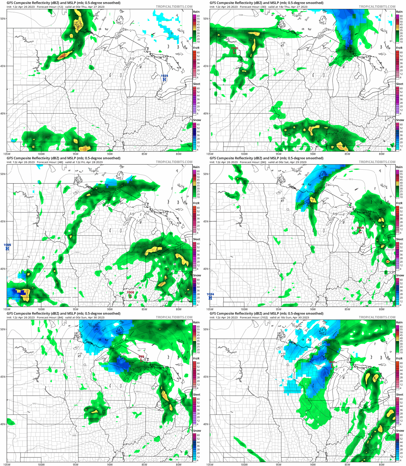
The next weather system moving into Minnesota this week brings more of a patchwork shower pattern. I don’t see any all-day rains or washouts. Instead, look for a few waves of more occasional showers between this afternoon and the weekend.
The National Oceanic and Atmospheric Administration’s Global Forecast System model gives the flavor of several passing waves of showers. Yes, there will also be a few snow showers as we move through the weekend.
Turn Up Your Support
MPR News helps you turn down the noise and build shared understanding. Turn up your support for this public resource and keep trusted journalism accessible to all.
The forecast model loop below runs between 7 p.m. Wednesday and 1 p.m. Sunday.
Warmer next week
The European and Canadian models are cranking out much warmer temperatures for next week. We start in the 50s early next week.
But by next Wednesday and Thursday highs into the 60s and even 70s look more likely once again.
Here’s the European model temperature output for Wednesday of next week, May 3:

Stay tuned.

