
Warm start to May; more 70s ahead this week
Occasional spring showers possible this week
Go Deeper.
Create an account or log in to save stories.
Like this?
Thanks for liking this story! We have added it to a list of your favorite stories.


Finally, spring.
Temperatures in the Twin Cities are running 2.4 degrees warmer than average through the first week of May.
I hope you enjoyed our stunningly beautiful Sunday and Monday, so far. The high reached 76 degrees Sunday in the Twin Cities with abundant sunshine and light winds.
As of this post, the temperature hit 73 degrees Monday at Minneapolis-St. Paul International Airport.
Turn Up Your Support
MPR News helps you turn down the noise and build shared understanding. Turn up your support for this public resource and keep trusted journalism accessible to all.

Temperatures are cooler in the northern half of the state. Highs will hover in the 50s and 60s up north Monday afternoon.

Highs will return to the 70s again Tuesday across Minnesota.

Wednesday looks even warmer, with highs closer to 80 degrees across southern Minnesota Wednesday afternoon.

Scattered showers, thunderstorms possible
Precipitation patterns look less clear across Minnesota this week. Weak weather disturbances will spark a few scattered showers and thunderstorms. But forecast models vary widely on rainfall timing and coverage.
Here’s an example. The National Oceanic and Atmospheric Administration’s NAM 3 km model keeps most of Minnesota dry through Monday evening, but it develops a small shower and thunderstorm cluster over the Twin Cities and southward along Interstate 35 around midnight Monday to 2 a.m. Tuesday.
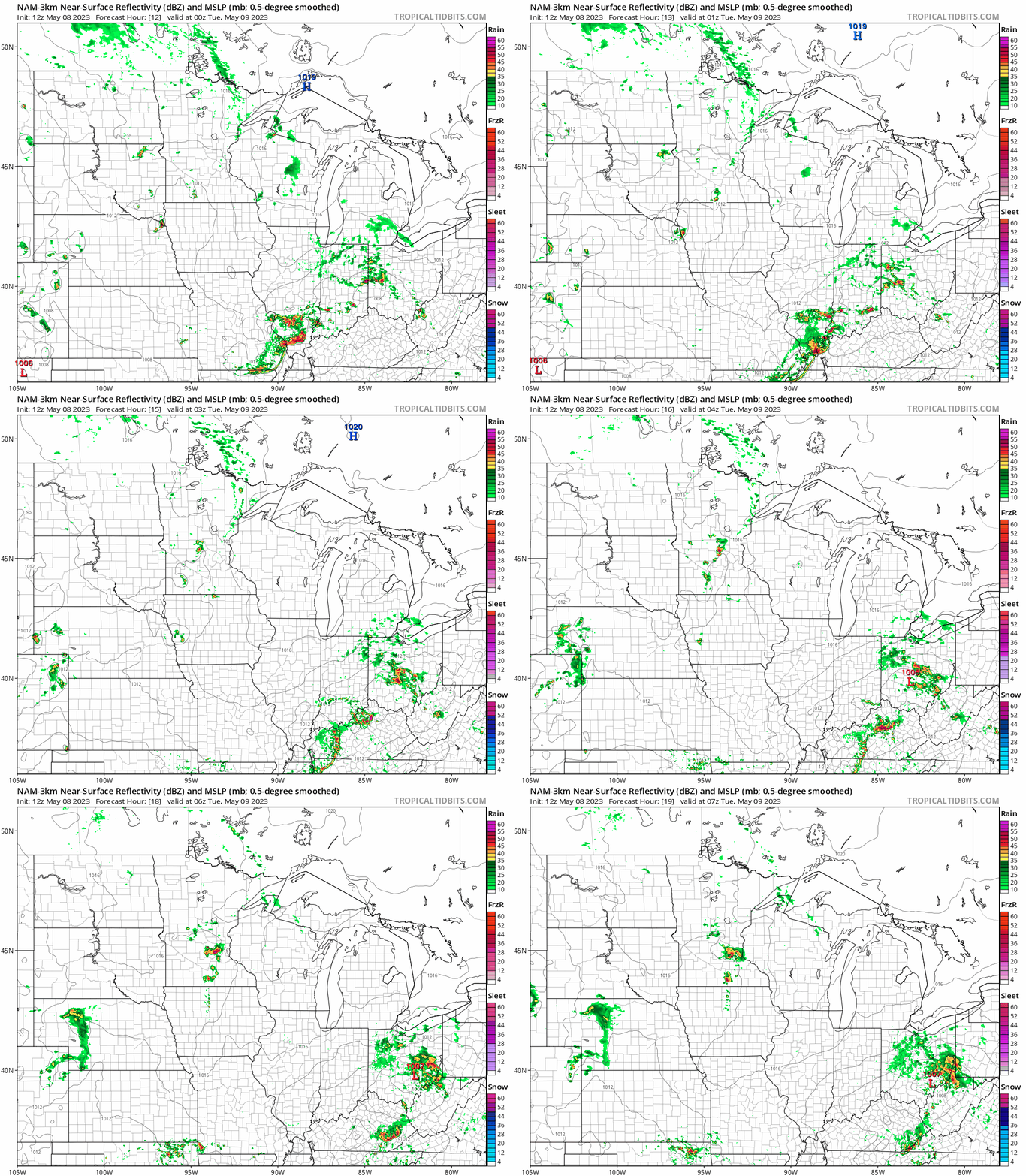
Overall we’ll see many more dry hours than rainy hours this week.
A bigger low-pressure system will bring more widespread rainfall later this week into the weekend. But milder-than-average temperatures will persist.
Stay tuned.

